 I wake up at 4:30 central standard time. I make the coffee and my mom is up shortly after. I prep my race food by peeling two oranges and cutting up two small bananas. My brother will follow me around the second half of the course to keep me fed. He wakes up at 5:30 and we drive downtown. Having a race crew is very nice. Steve drops me off on 15th St., a couple of blocks east of the race start. I teach him how to take pictures with my iPhone and he drives off into the darkness for breakfast somewhere.
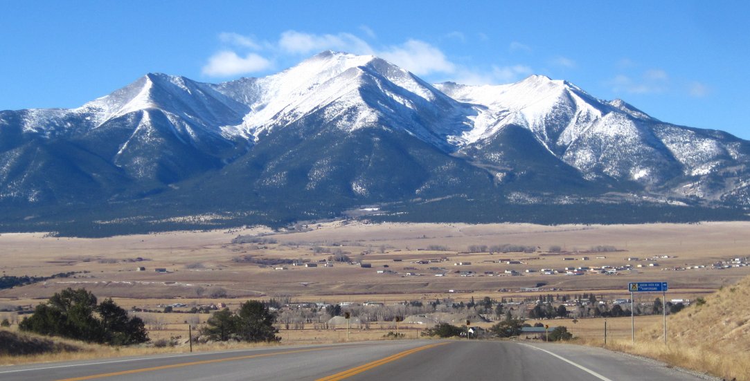
I have 45 minutes to get my mind into race mode for 26.2 miles. Naturally, I’m anxious over this marathon. I’m also a little bummed though that I won’t be snowshoeing with Karen. We went snowshoeing the last five weekends in a row. Maybe not how most runners train for a marathon. Karen and I will hook back up in the spring to snowshoe some new trails. For this race, I feel like I usually do. I simply can’t believe the people who typically suck my time are granting me four hours to go run. The weather is pleasant for standing around in shorts and my short-sleeve jersey. It’s 57° and is only expected to warm up another ten degrees. The Mayor of Austin, who sounds very much like Kris Kristofferson, says some words. A lady sings the National Anthem. Next thing I know, I’m running through the streets of downtown Austin.
 I’m in the top half of the 18,000 runners. The crowd doesn’t begin to thin until we’re on South Congress after two or three miles. I’m okay that my first mile is in 7:55 but suspect I’m running too fast as my second mile comes in at 7:17. I consciously slow down. My third mile clocks in at 7:40. Still a bit fast. The Congress Avenue hill helps to govern my speed by the fourth mile which is 7:58. I hoped to average an 8:30 pace the first six miles. Mile 5 is in 7:39 and mile 6 is in 7:45.
The mile 6 aid station begins a downhill segment heading north on South First St., back toward downtown. I planned to maybe stretch out my legs on this downhill for a couple of fast miles but change my game plan and stay conservative given my fast start. I stop monitoring my Garmin with the intent of not looking at it again until the half way point. My Garmin upload though reports I run miles 7, 8 and 9 in 7:21, 7:31 and 7:34 respectively. I’m seriously surprised by this given my dearth of winter training but suspect it’s due to the low altitude. The half marathoners split off toward downtown half way into mile ten on Exposition. This section is fairly hilly and the 3:25 pace sign passes me – which is probably good. I run mile 10 in 8:01, mile 11 in 8:11 and mile 12 in 8:30. Finally on pace. I’m thankful I’m not hurting yet. I try eating one of my FRS fuel candies but it’s hard and difficult to eat. I start thinking about how old they are. Five years maybe. I switch to my Honey Stinger gummy bears and eat up the 200 calorie bag by the half way point, which the official clock shows me reaching in 1:42. This pace would have me qualify for Boston, but I’m beginning to slow down.
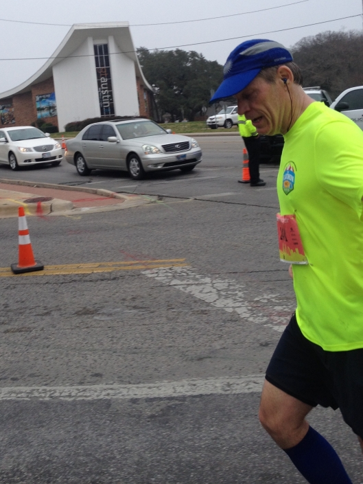
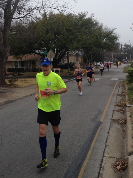
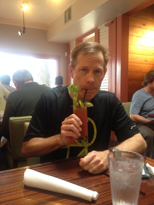
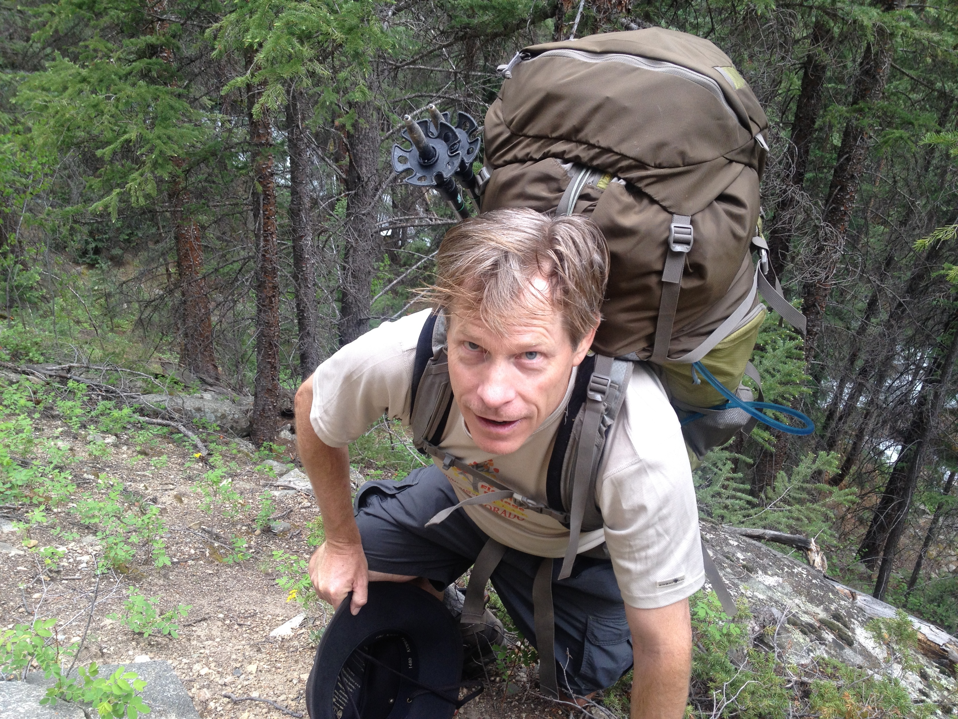
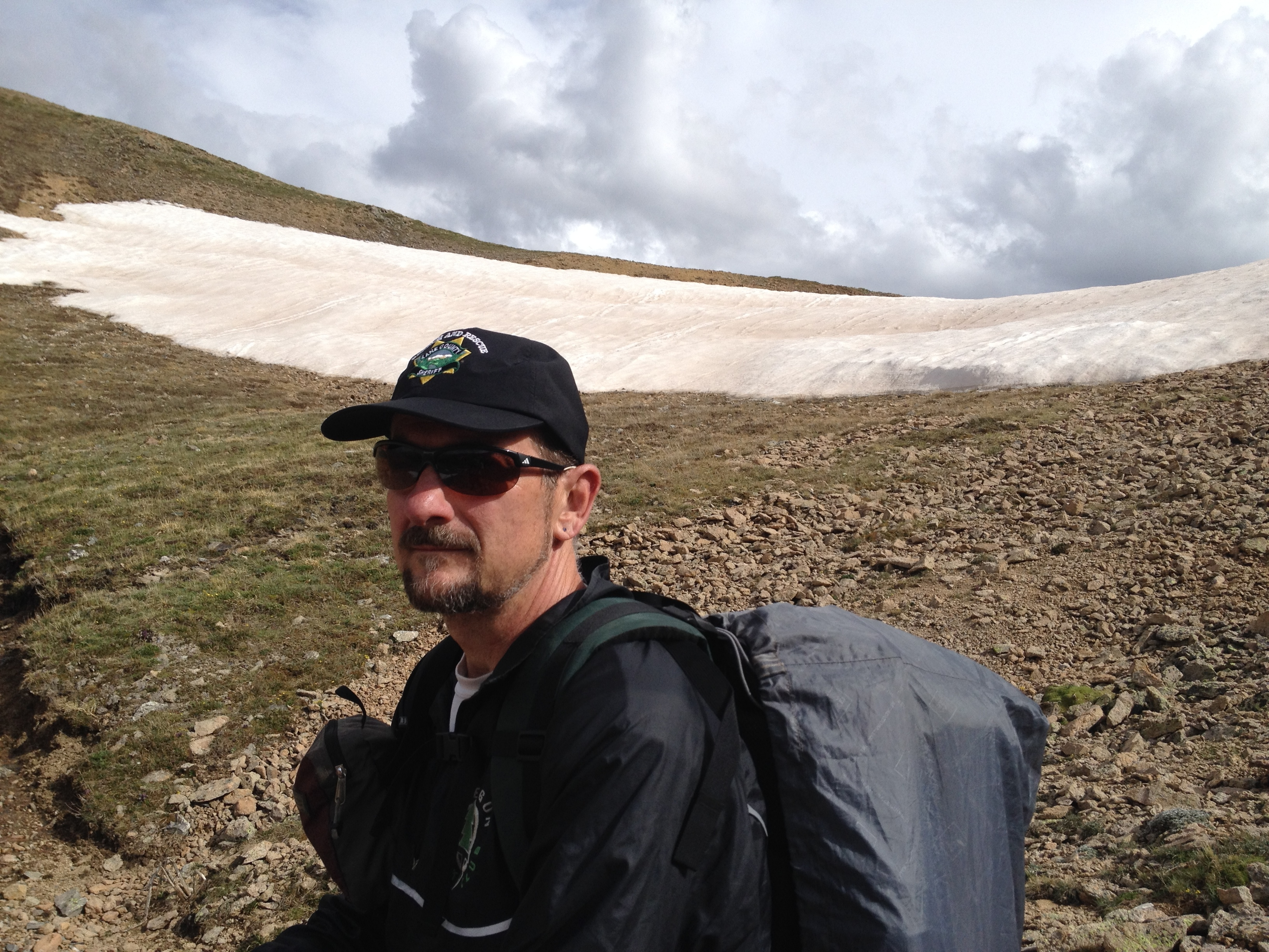
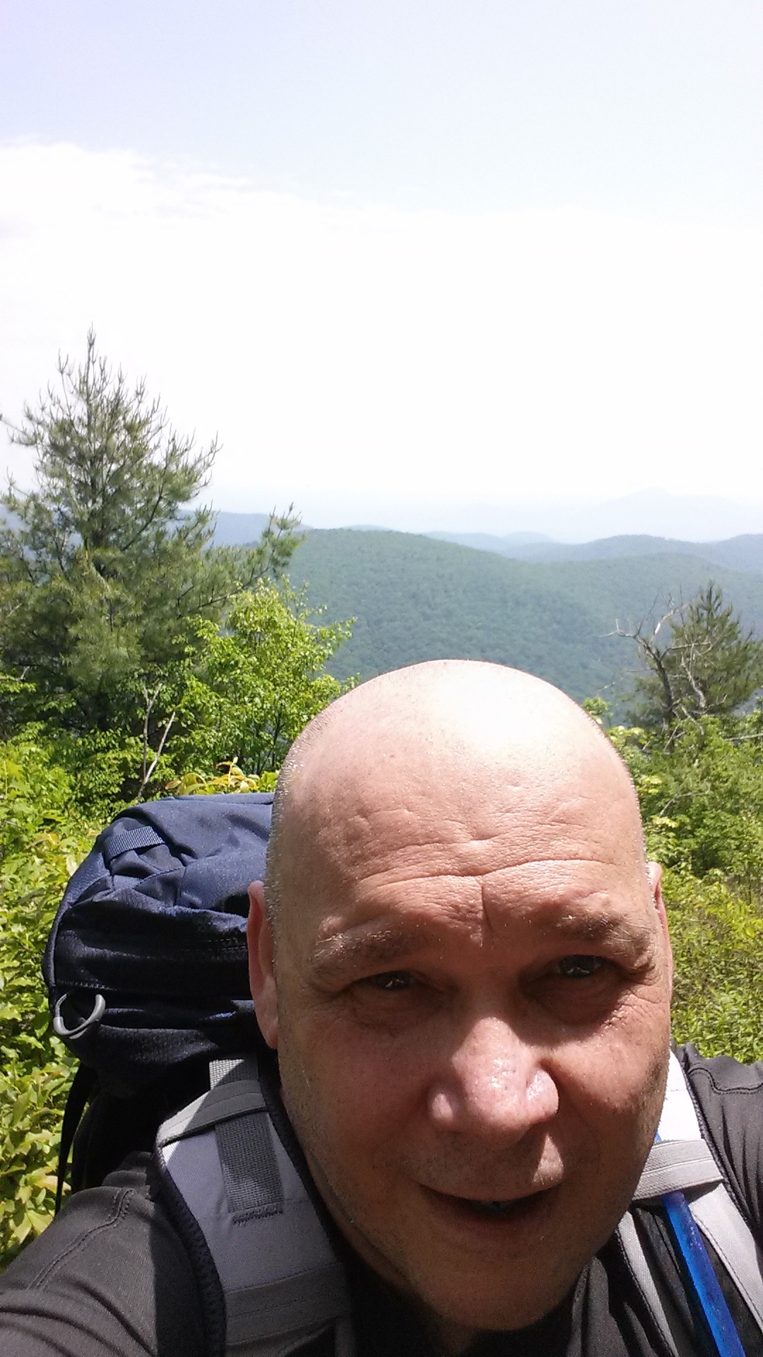
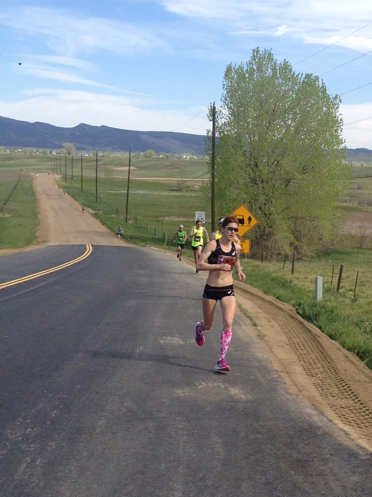
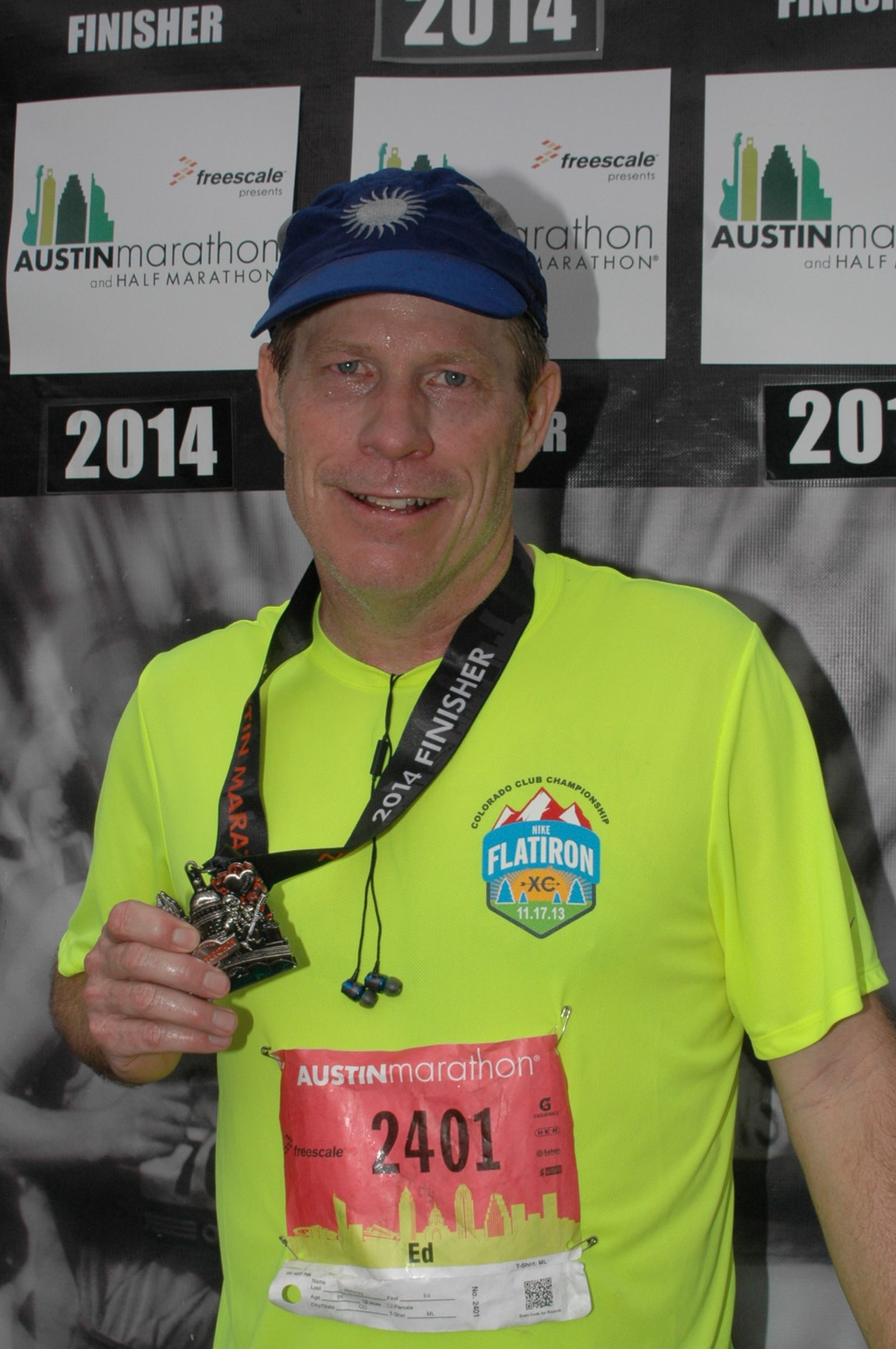
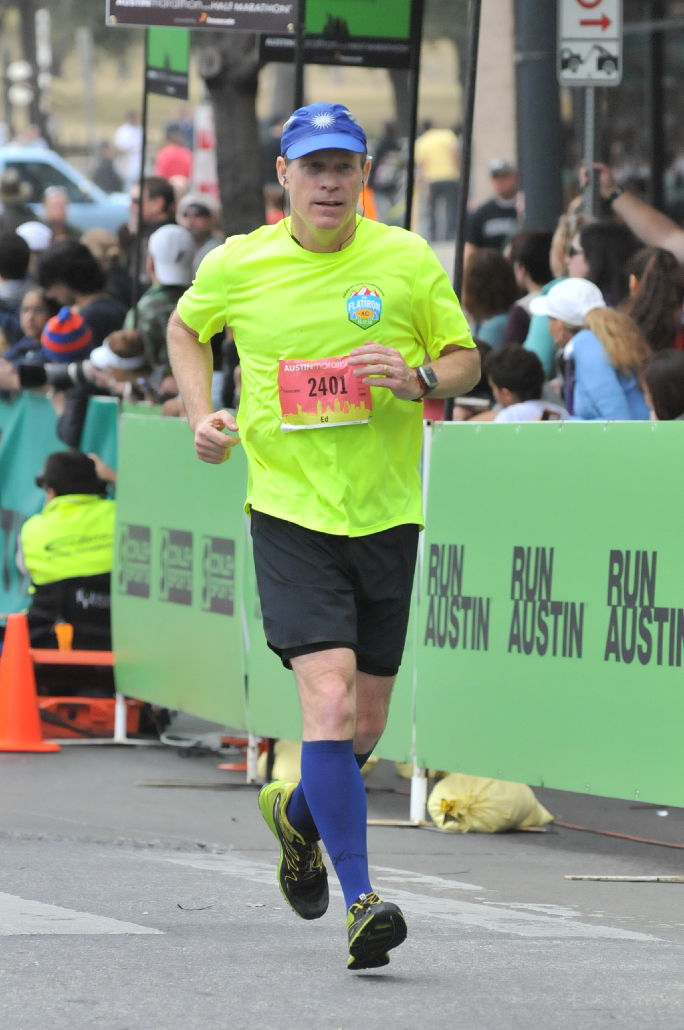
I encounter Steve around mile 16 at Allandale, captured in the first picture above. I eat some oranges and banana. Miles 13, 14, 15 and 16 come in at 8:36, 8:26, 8:22 and 8:39. This is the pace I want to run but begin to slow down even more. I feel good in terms of energy and breathing but my legs tighten up on the 16th mile. Miles 17, 18 and 19 come in at 9:01, 8:42 and 8:48. The second photo is at 19 miles. Mile 20 marks the turn south back toward downtown. I run this in 9:09, mile 21 in 9:01 and mile 22 in 9:23. Mile 23 is a bummer as my right hamstring cramps with very little notice. I hit the pavement to recover and only lose about a minute, running mile 23 in 10:48. I’m careful after this and purposely keep my pace slow in order to successfully finish.
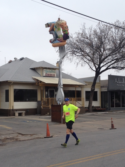 I pass one of my favorite Austin eateries at mile 24 – the Hyde Park Bar & Grill. Karen and I lived nearby before moving to Colorado in 1989. I recall running down this stretch of Duval back then. It’s a downhill slope toward the UT campus. I typically ran loops around the Hancock Golf Course one block east of Duval on 38th St. Both Steve and my sister Nancy are here. Nan gives me two PowerIces that contain the electrolytes I badly need. I hand her my sunglasses that I haven’t needed. Thankfully the sun never breaks through the clouds today. Still, the humidity is high. I’m not used to running drenched in sweat. We perspire in Colorado too but it’s a dry sweat. I run mile 24 in 9:49.
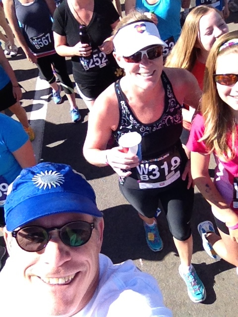
I know I’m going to finish my ninth marathon as I pass the Posse East, my old UT watering hole, and begin running across campus. Confidence is always a good feeling. Endorphins alter my consciousness. Emotionally charged thoughts of my sister and brother waiting for me at the finish race through my mind. My throat tightens and my eyes moisten. If you’ve ever run a marathon or ultra, or done something similarly stupid, then maybe you’ve experienced this too near the end. I find myself in awe that I’m still alive and doing this. I “find religion” as they say. I fully appreciate God letting me know He’s there, although happy to know He’s simply passing through. Running this marathon is my way of letting Him know that when He comes for me for reals, He better send all four horsemen riding white, red, black and pale. I’m going down swinging. I run mile 25 in 9:43.
I regain composure as I spy the hill after 15th Street. I need all my faculties as this incline challenges my cardio. It’s like the blood flow reverses direction in my arteries and veins. My heart is rewinding. What sort of twisted race director designs the course up such a steep hill right before the finish? I’m finding his email address. Two seconds ago I was near hallucinogenic believing I was a couple of minutes away from finishing. Part way into this hill, that result suddenly becomes much less certain.
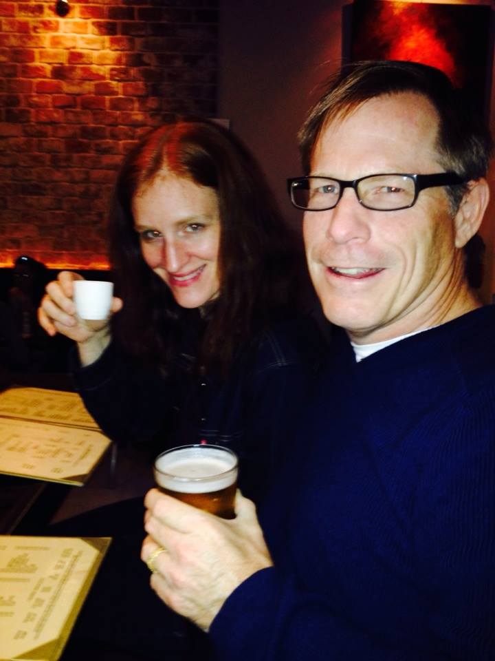
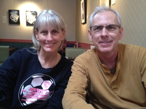 I look up to the top of the hill. Form. I pump my arms. I begin popping up my knees before my feet can fully hit the pavement. I could run up a waterfall with this form. I look at my Garmin to see I’m only running a 10:50 pace. Hmm. If only effort equaled speed. I crest the hill and turn right onto 11th St. I pass the 26 mile sign and let my legs unwind downhill toward Congress Ave. I think again of my sister and brother meeting me at the finish. Here’s their picture eating brunch later at Hyde Park Bar & Grill. Just as powerful as the tearful emotion earlier, euphoria washes over me strong enough to make heroin jealous. I’ve felt this way before near the end of a big run. I got a little emotional near the end of my first ultra. Same with finishing the 500 mile Colorado Trail. There is something about successfully completing an objective with such high odds of failure. Like Sandra Bullock taking her first steps on the beach after riding that Chinese rocket down to Earth in Gravity. This is why I run marathons.
 I run the 26th mile in 9:44 but my Garmin has that completed right before the hill. My Garmin mile 27 is nearly a half mile long, although it should only be about 200 yards. Garmin has me running the final half mile in 4:19 – which captures the hill. My Garmin does agree with the final result though with a 3:45:50. About 15 minutes faster than I thought I could run with my limited winter training. 551st place overall. At this point in time I am giving credit to good execution on my nutrition plan. I think this because I finish feeling good. No post race cramps or vomiting. Not to say walking to the car isn’t a bear as swelling consumes my legs. I counter this with a Bloody Mary at the Hyde Park Bar & Grill. I’m fine now.

 I wake up the girls at 6:30am this morning because they want me to. We’re headed up to the Wild Basin area in Rocky Mountain National Park for a massive hike to Sandbeach Lake. Surprisingly, we’re out the door shortly after 7am. We stop by Big Daddy’s Bagels for something to start our engines before leaving the neighborhood and reach the trailhead by 8am.
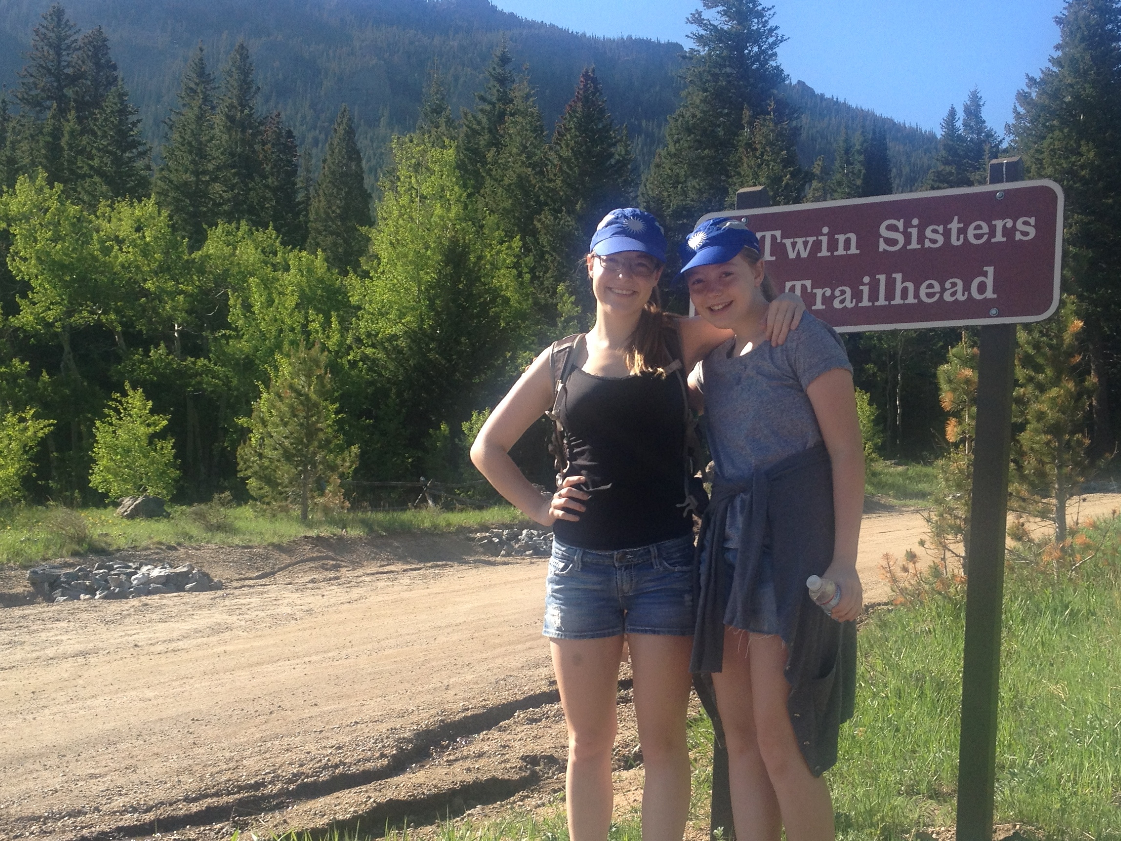
 The girls climb the first big rock they see. Brit’s been doing this ever since she saw Lion King as a three year old. Ellie can’t pass up a good rock either. She might wish she had because moments after this shot she slipped and slid down, scraping her leg. She toughs it out though and doesn’t cry. She toughs out a lot today because not only is our target lake 4.5 miles away from the trailhead, the entire trail is uphill. Rarely is it overly steep, but uphill at altitude is never easy.
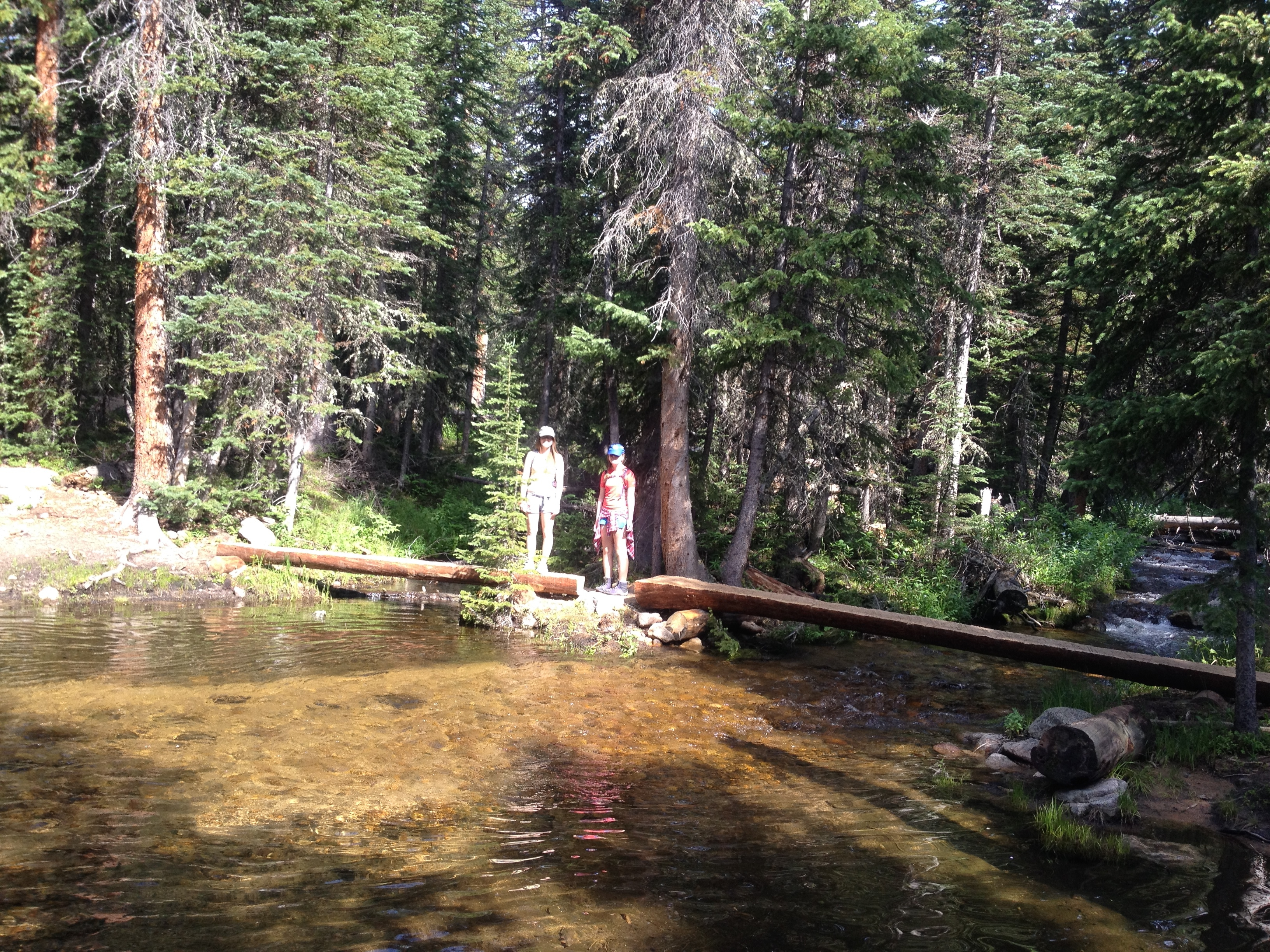 The entire hike is in the trees with only a few spots for views of the valley or Continental Divide. This is probably a good thing as the temperature soars well above 90° today. We take advantage of several creek crossings to cool off. Ellie is emboldened by her water-proof hiking boots and wades into deeper water than us to cool off. Brit and I can’t believe her feet remain dry. She pushes the boundaries often drowning her bootlaces. My RMNP trail guidebook suggests there are some downhill segments, but no down slopes ever present themselves for more than 20 yards in length. This is a long, hot, uphill slog.
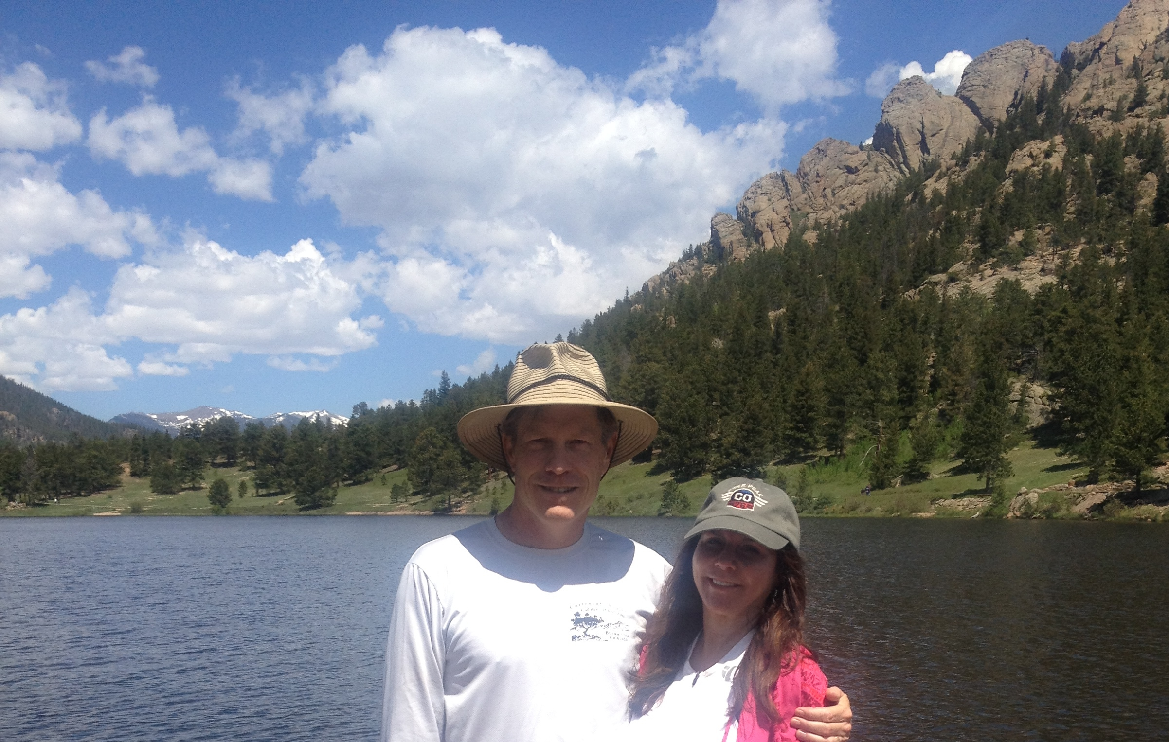
 The lake was dammed around 1900 to provide drinking water for our town – Longmont. The dam was dismantled in the ’80s and returned to its natural state, once again displaying the sandy beach for which it is named. I don’t know that I’ve ever seen a sandy beach on a high-altitude mountain lake before. Sandbeach Lake offers stunning views of close-by peaks to the north and the Continental Divide to the west. You can almost watch water run off the moraine on the northern peaks to a waterfall flowing into the lake. The sound of flowing water is peaceful; this beach no doubt makes for a great camp site.
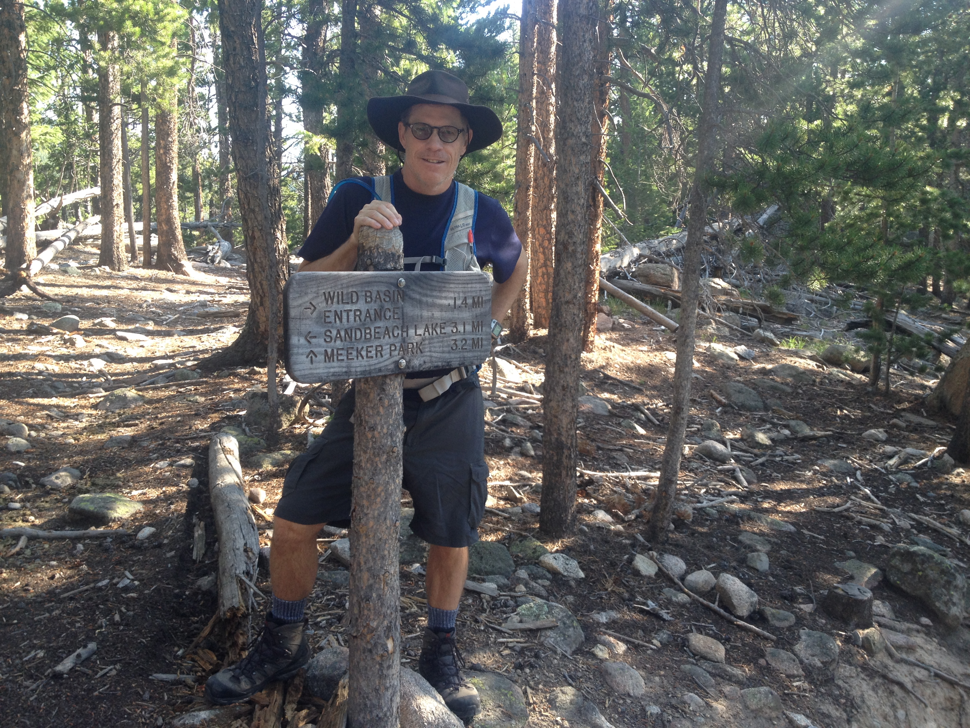 This is only one trail of many in the Wild Basin area of RMNP. The trails sit south of Mount Meeker, many leading to lakes and waterfalls. Our plans are to return each weekend that we can this summer to explore the other trails. The trailheads are less than an hour from our front door, just north of Allenspark, CO. We stopped in that little mountain haven on our return for a cold beverage. We later lunched at Lyons Fork in Lyons. Nice Sunday.
![DCIM41[N3862354W10635535T40D992EAH0DBB84]](https://arunnersstory.com/wp-content/uploads/2014/07/view.jpg)


