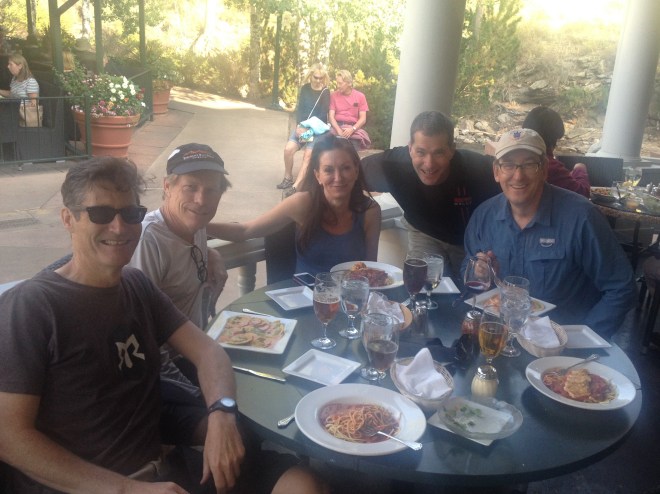
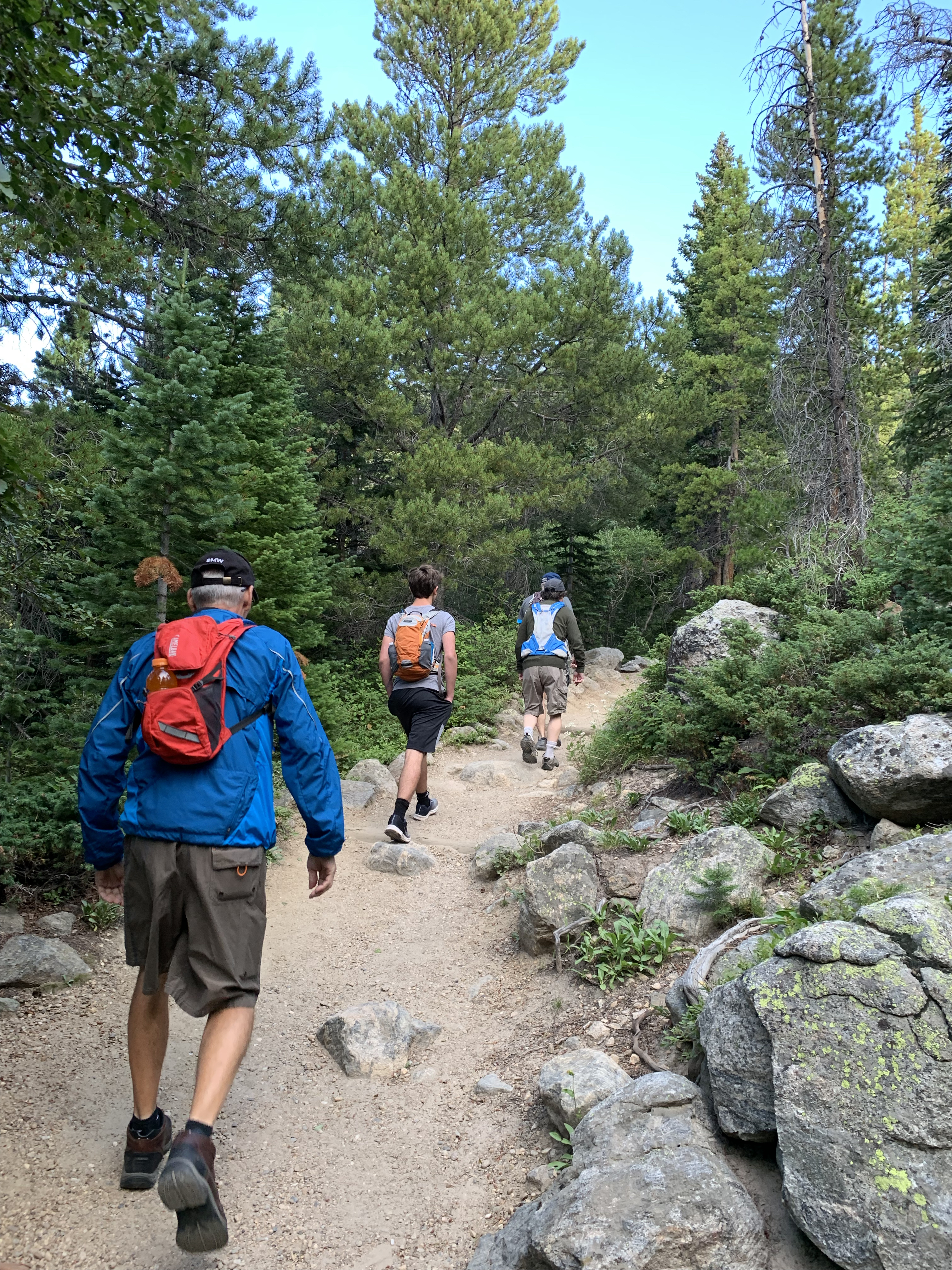
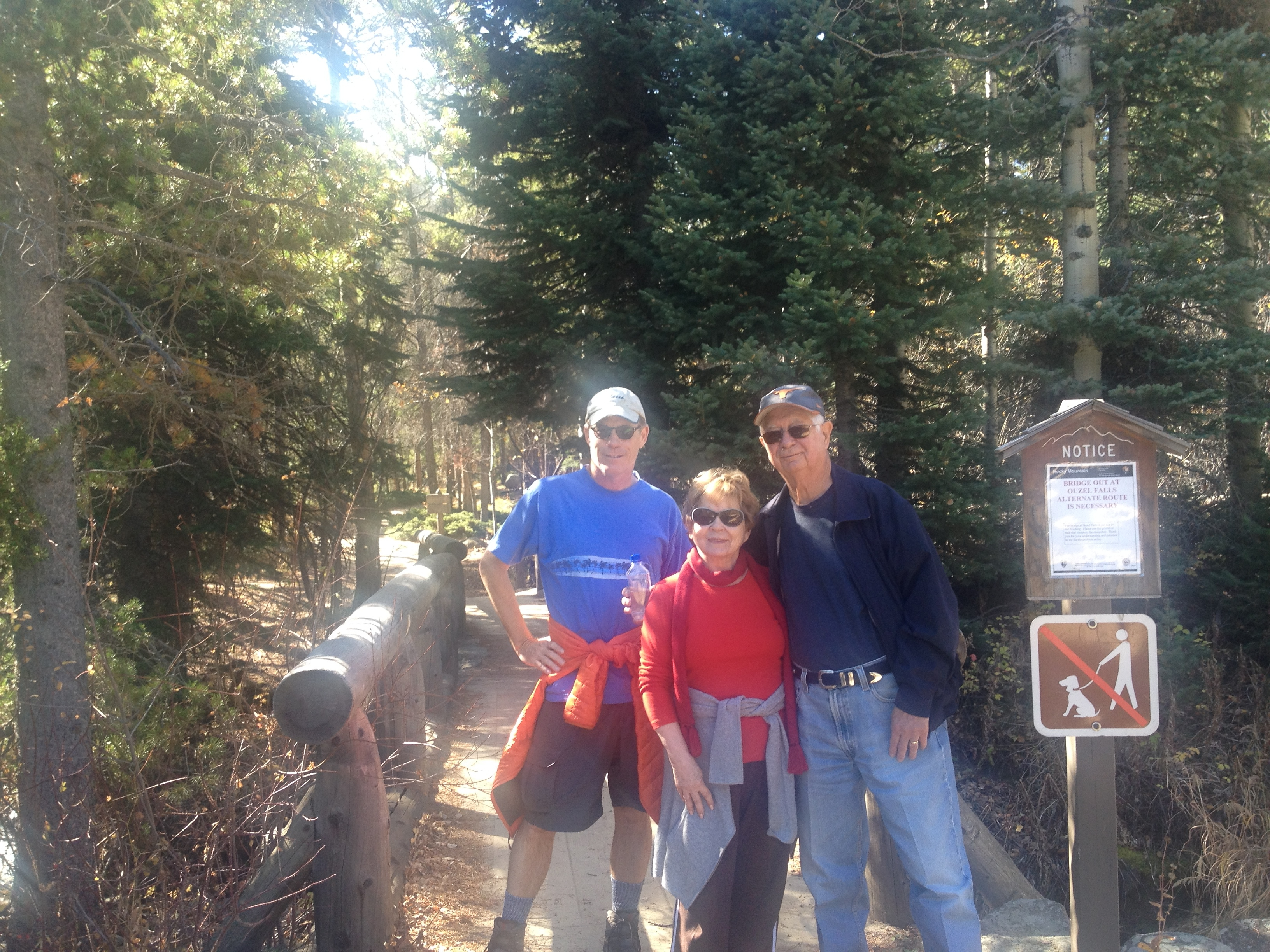
 I set out Saturday afternoon with my neighbors, Keith, Jen, Steve and Scott, to hike Longs Peak. We are pictured here eating in Estes Park before camping out near the trailhead. The allure of Longs Peak has been haunting me for years now. Ever since I climbed my first peak back in 2008 – Mount Garfield. I say “haunted” because of the apprehension this trek stirs in hikers as they commit to plans. As the northern most 14er in the Colorado Rockies, I see it every day outside my window. The trailhead in RMNP is a 45 minute jaunt from my house. But not a year goes by without reading about some hiker in bluejeans and cotton hoodie dying from exposure. Or being blown off the peak by a gust of wind. To be fair, this trail takes its share of experienced hikers and climbers too; although there is a strong correlation between victims and cotton wearables. Every section of trail is popularized by name. The Boulder Field. The Keyhole. The Ledges. The Narrows. Those names alone will spook you.
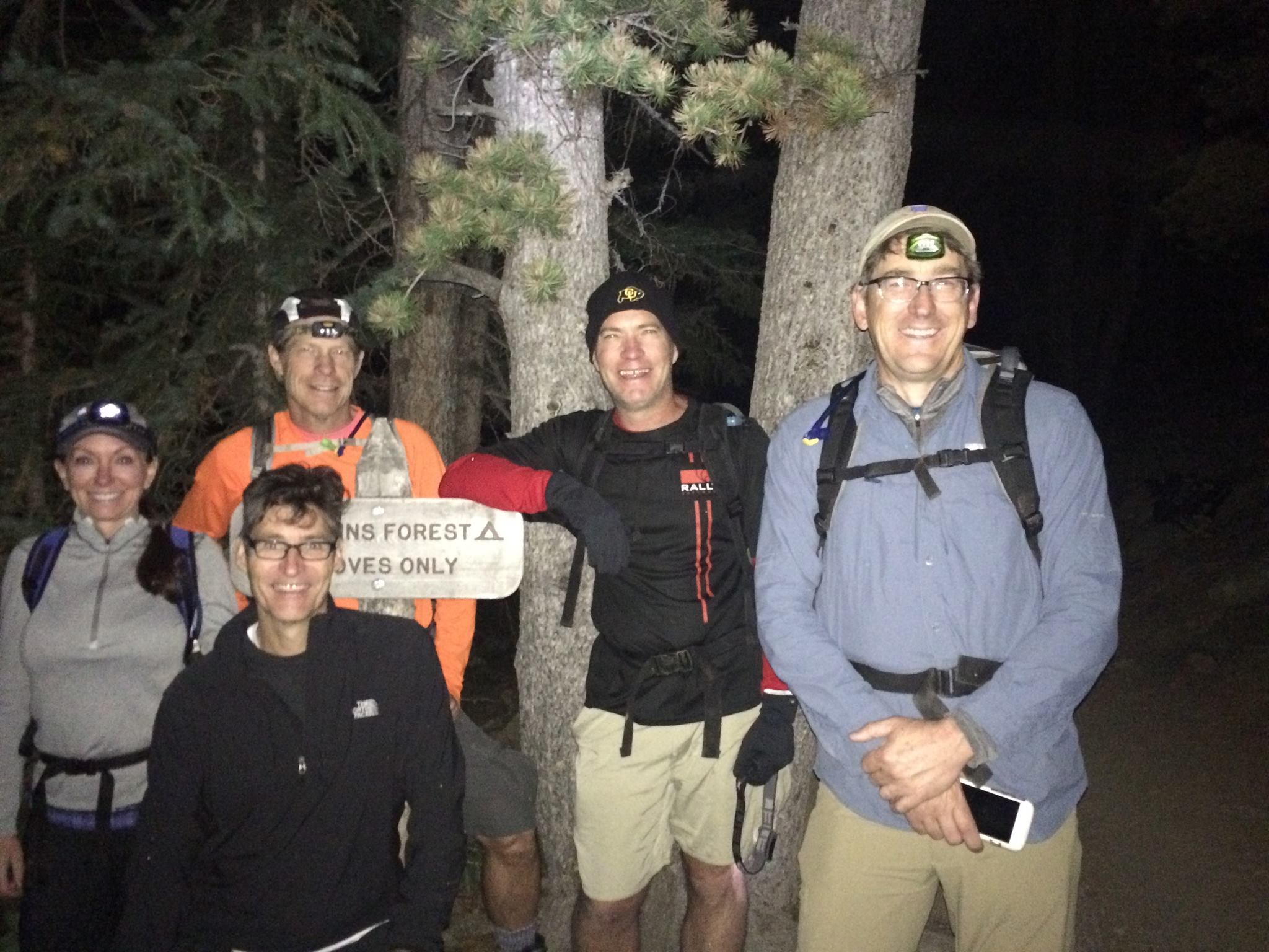
 We reserved a 7 camper backcountry permit to camp at Goblins Forest. Turns out, there was 8 of us as Steve invited 3 friends, Parker, Robert and another Keith. The rangers were none the wiser as they close at 4pm and we didn’t pitch our tents until around 8:30. Goblins Forest is a little over a mile in from the trailhead. It turned out to be an awesome site with plenty of room, even a vault toilet. Smoke from the Western State forest fires obscured the stars but the weather was fairly warm. A couple of the guys slept in hammocks. Jen imitates Reese Witherspoon here in Wild with her backpack loaded up.
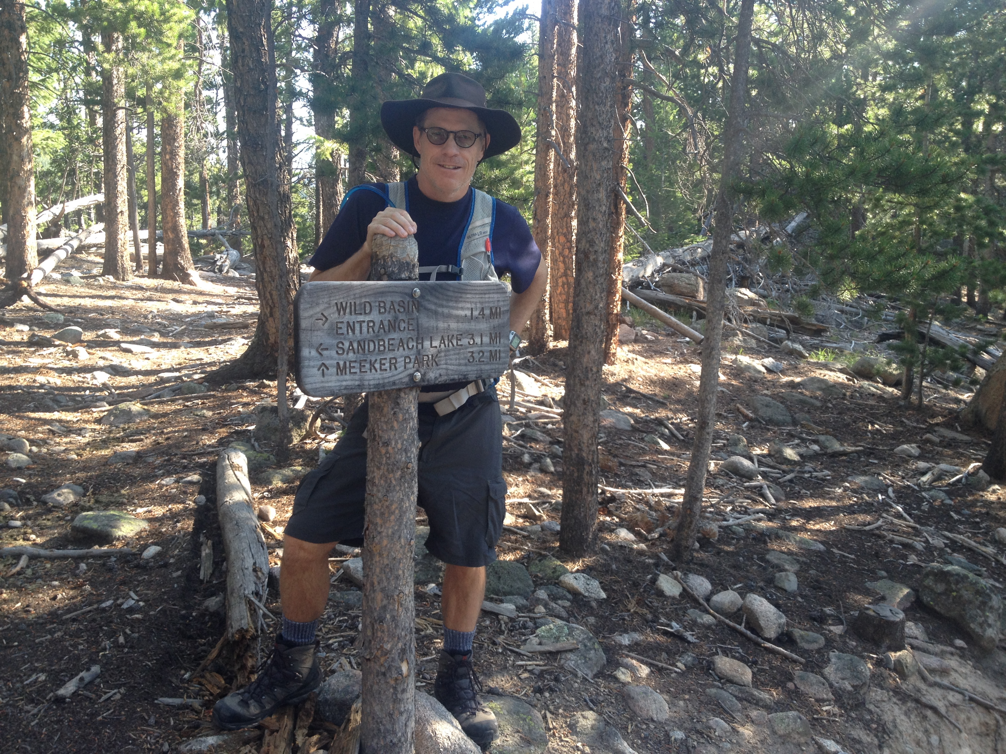
 We initially planned for a 3am start. There are several reasons for this. As one of the most difficult class 3 14ers in the country, Longs Peak is crowded with most hikers hitting the trailhead between 1am and 3am. It’s a long, slow hike, mostly above treeline, and the early start is needed to avoid the typical afternoon thunderstorms. Steve’s buddies had some experience hiking Longs Peak and recommended we wake up at 1:30. We did and hit the trail by 2:30am. As you can see in this photo, we’re all wearing headlamps.
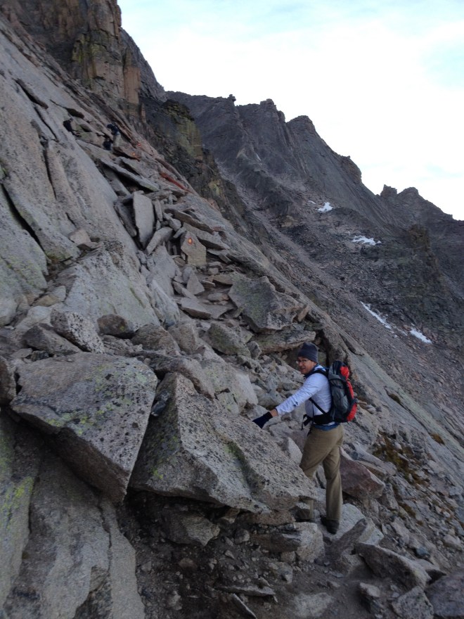
 The headlamps weren’t always needed above treeline as the full moon illuminated the trail. And we weren’t alone. We followed a trail of lights from other hikers climbing up the Mills Morraine into the Boulder Field where the sun finally rose. This photo captures the sun rising over Mount Lady Washington and the Boulder Field as I scramble over the Keyhole to the western side of Longs Peak.
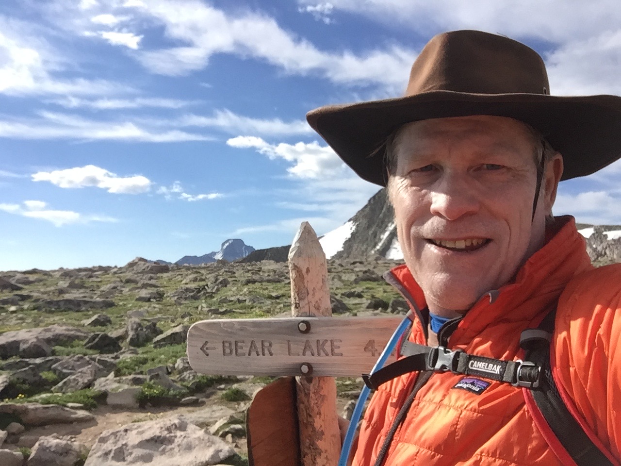
 Our timing was perfect in terms of light and crowds. Our campsite was a little over a mile from the trailhead, giving us a 12.5 mile hike. This made us part of the main wave of hikers. Anyone driving up and arriving by 1am will easily find a parking spot at the ranger station and trailhead, but will have a 15 mile hike. Arrive after 3am and you will find yourself parked a mile down the road; possibly still fine in terms of beating the afternoon showers but you’ll have a 17 mile hike. For us, the sun began to rise as we entered the Boulder Field and gave us ample light as we passed through the Keyhole and traversed the mile or so through the Ledges, Trough and Narrows to the peak.
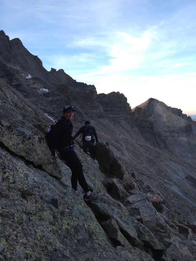 Click on the photo above to see Scott making his way across the Ledges. You’ll be able to make out a path marked by bullseyes painted on rocks. There is no trail, simply these paintings for you to target as you make your way over a steep slope of rocks generously termed a ledge. Trust me, this was some scary shit. I can’t imagine people hiking this at night with headlamps, unless perhaps it’s better not being able to see the 1000 foot drop. Click to enlarge this picture of Jen hiking the Ledges and tell me if this doesn’t scare you. Longs Peak is considered a class 3 hike for scrambling but no ropes. But the level of scrambling is intense – over a mile non-stop to the peak. And the Ledges is just a warmup for the really scary stuff. Next comes the Trough, an 800 foot climb over loose boulders.
 This photo captures Steve’s buddy Keith at the bottom of the Trough. Note the bullseyes – here again there is no discernible trail. You just make your way the best you can. The crowds of hikers slow down at this point to under one mile per hour. If you arrive late, then the wave of hikers will be coming down while you ascend, kicking an avalanche of small boulders down at you. Heads up. Scott turned back at this point as his knee gave out on him. He was fine since he’s hiked to the top of Longs Peak before. It is said only 20 percent of hikers ever complete the trail to the top. I suspect it is a much smaller percentage who ever consider hiking it twice. In terms of difficulty, the Keyhole is a portal to hell. Several levels through Dante’s Inferno with increasingly dangerous and brutal scrambling.
 Seriously, check out this photo of Keith and Jen climbing this granite wall made slick from thousands of previous hikers’ boots. If you don’t have some basic mountaineering skills, don’t consider hiking Longs Peak. I didn’t see any kids on this trail. This is not a family hike. Just imagine hitting a wall of granite on your path and looking up to see a bullseye painted 20 feet over your head suggesting the way forward. The 1.3 miles from the Keyhole to the peak was a series of increasingly scarier challenges. This was more an obstacle course than a hike.
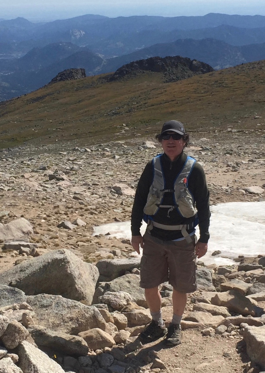
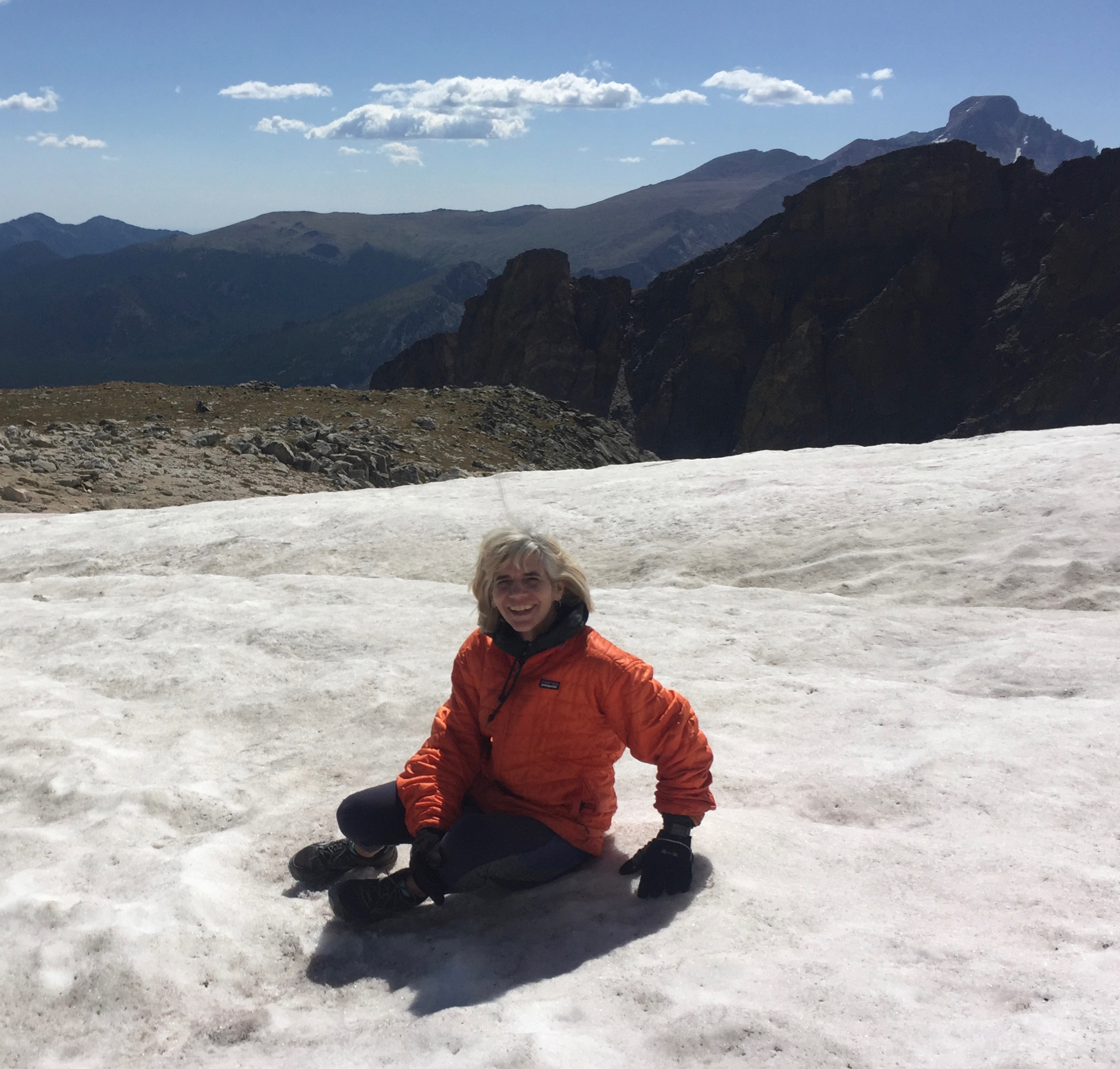
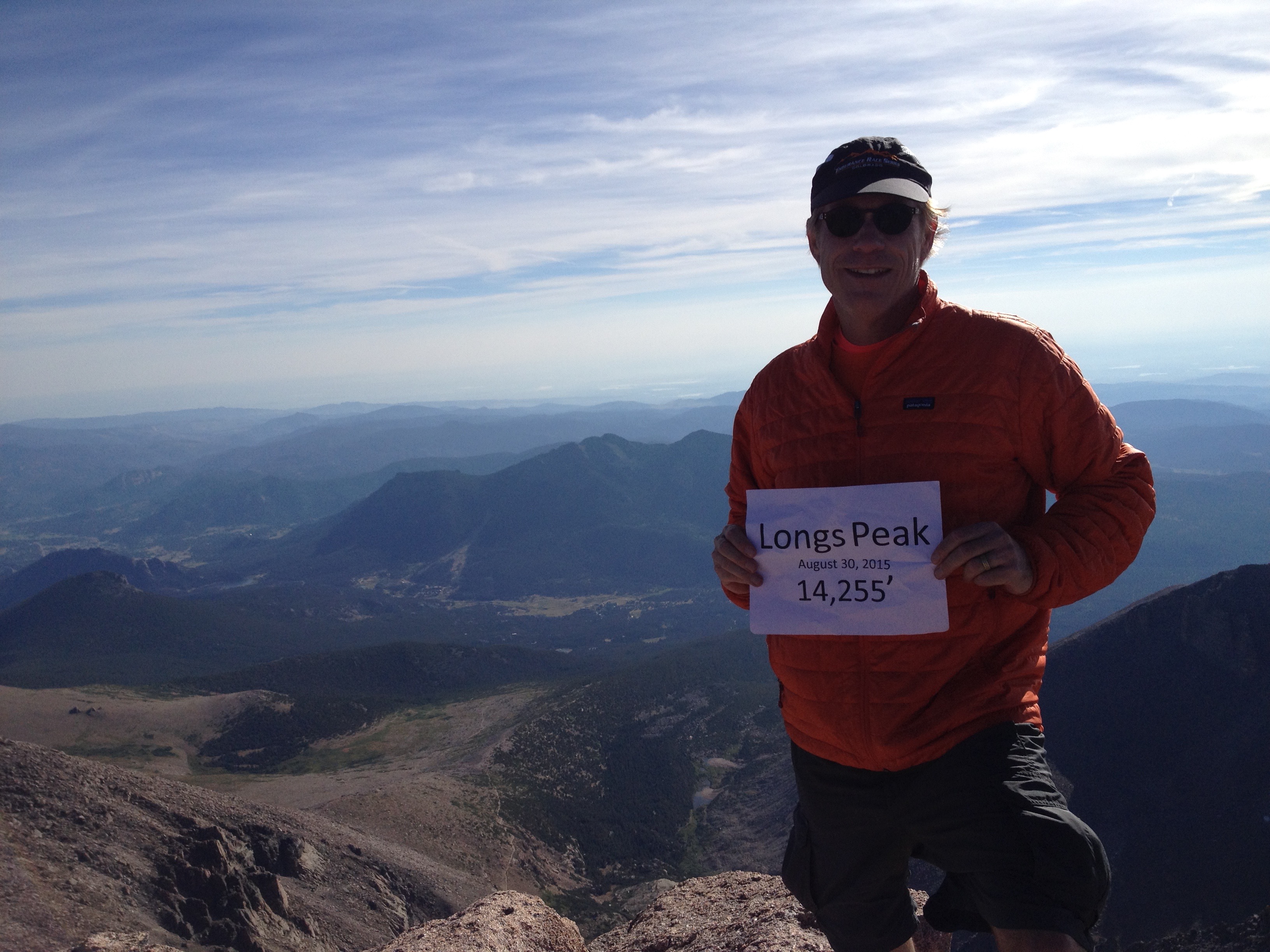
 One point in the Trough is termed the Hoist, because there’s no way the average hiker can climb it without a little help. Beyond the Trough was the Narrows. This is where Jen sensibly turned around. I nearly did and would have if Jen had asked me to stay with her. The Narrows aren’t termed a ledge because you can’t stand straight up on most of it. You have to lean into the cliff wall and grab onto handholds as you make your way across several hundred yards of slick granite. It’s mostly single file and ends with the Homestretch, a several hundred foot climb to the peak. The return was just as brutal in reverse. I had to slide down much of it on my bottom. I didn’t begin to appreciate this hike until hours later while safely drinking beers at Oscar Blues in Lyons. I’m crossing this 14er off my list and won’t be coming back.


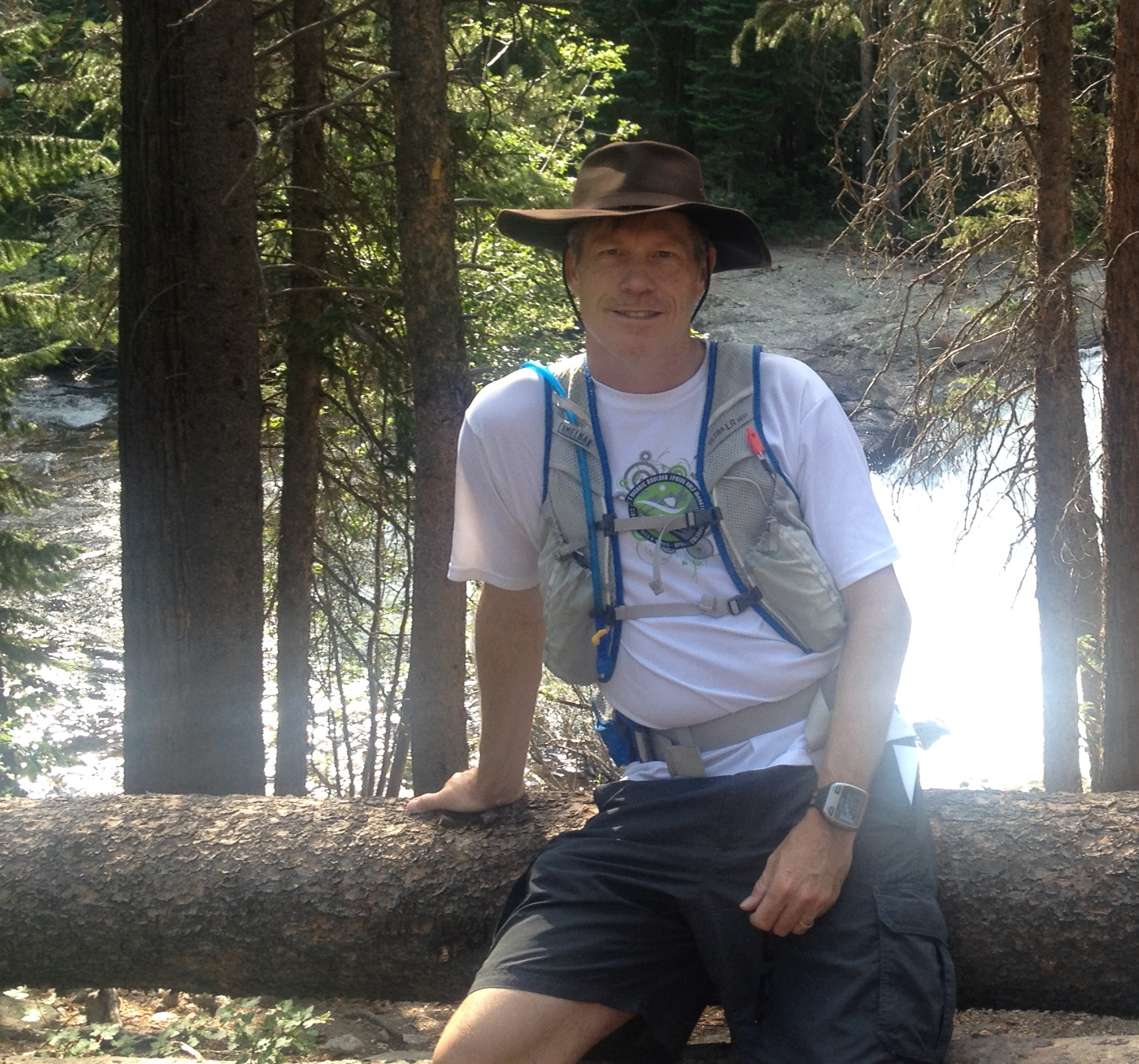
 Ran ten miles in 86° Saturday. I think the humidity is up because it felt like 100°. Carried a camelbak for the first time this year. My pace slowed down to a crawl the final four miles. I was happy to see the irrigation ditch flowing strong again, allowing me to dip my hat in the cold mountain snowmelt. A refreshing respite after running through Hell’s kitchen.
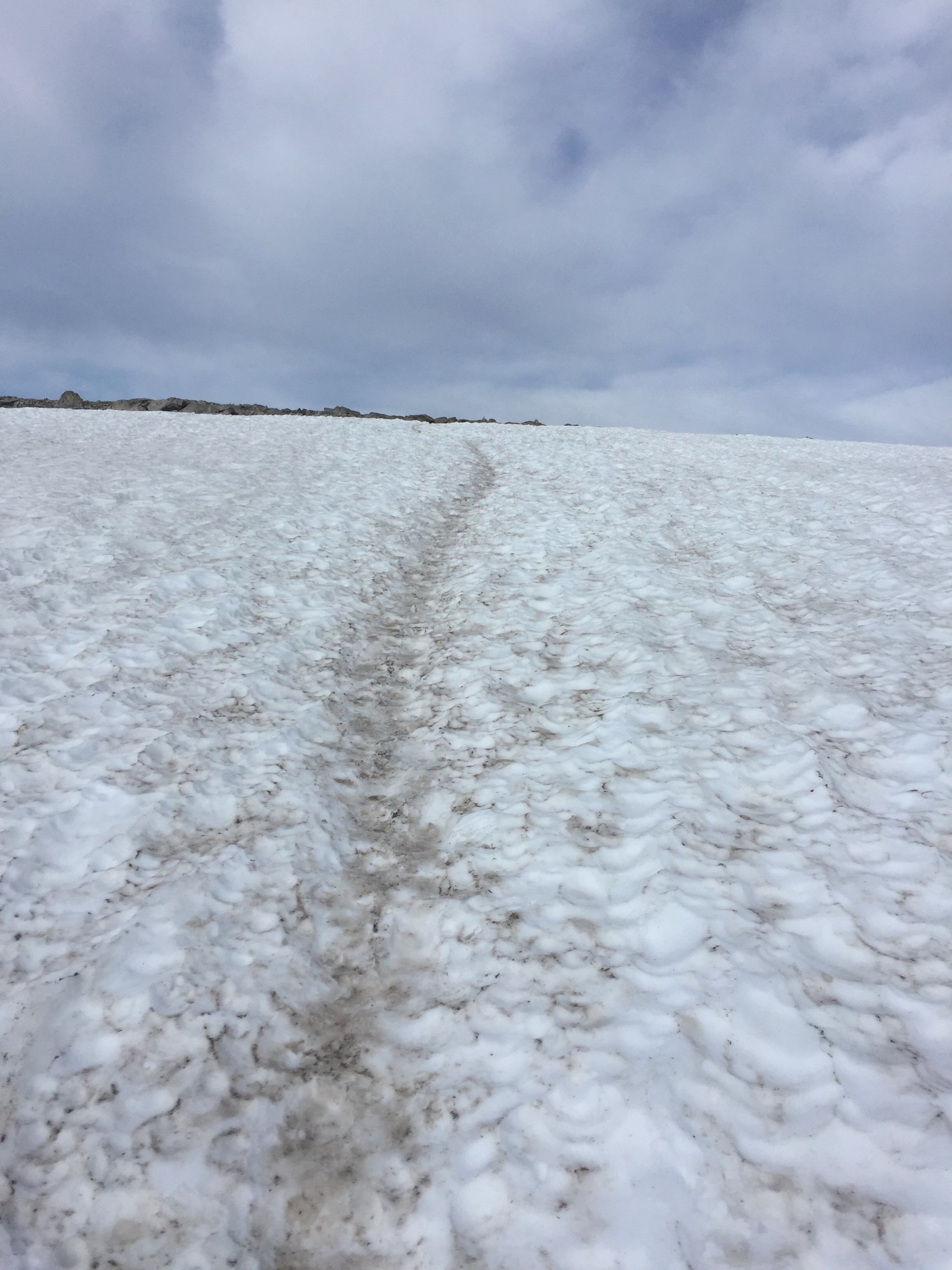
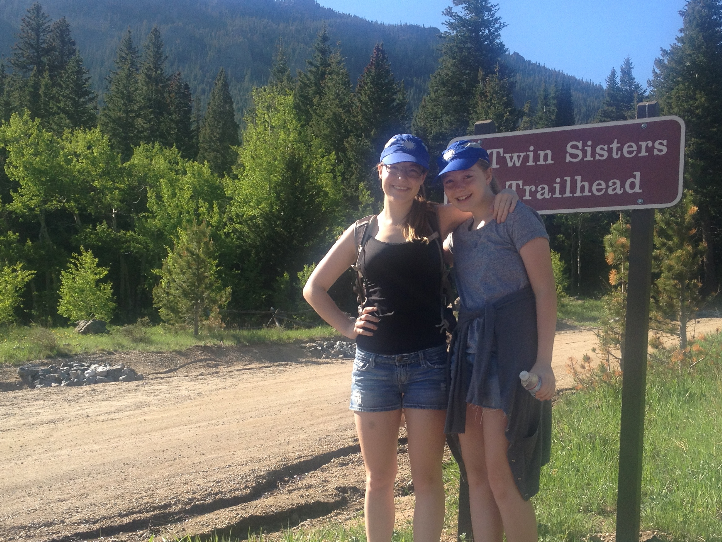
 From the depths of hell Saturday, Ellie and I climbed 11,400 foot Twin Sisters on Sunday. As the photo shows above, the trail is still covered with snow at higher elevations. Glad we took trekking poles. This is Ellie’s first real mountain peak hike, if you don’t count the Flat Irons overlooking Boulder. This is a seven mile roundtrip hike and a real accomplishment. Our plans this summer are to work ourselves up to a 14er, likely Grays and Torreys.
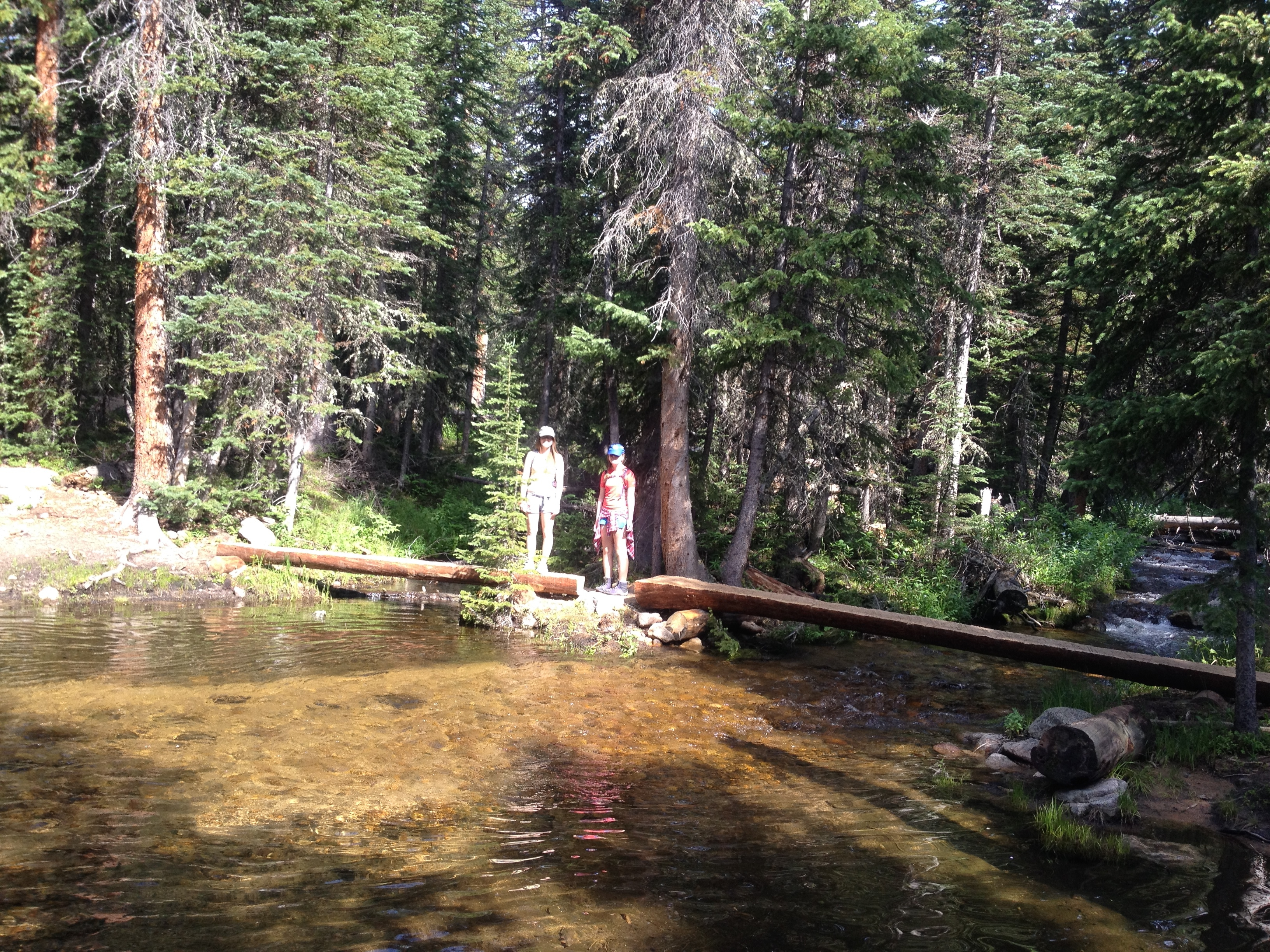
 This photo shows where the trail crosses the massive mudslide from the Great Flood of 2013. Karen and I hiked up to this point two years ago, and turned around. Ellie and Brit went further, but the trail was in disrepair and they didn’t make it to the summit. The trail is still an extremely steep alternate route, but safe and manageable.
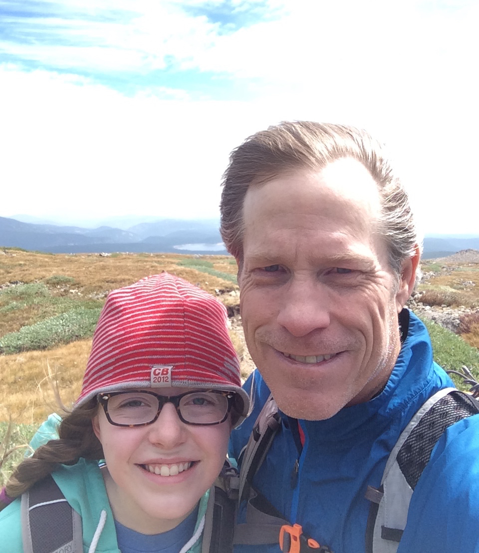
 Ellie’s friend, Esme hiked up with us today. The cool mountain air made for a perfect hike. You can see the Diamond Face east cliff wall of Longs Peak over Ellie’s head in this photo. The views were awesome of Mount Meeker and the Mummy Range. We could see Estes Park and Longmont as well.
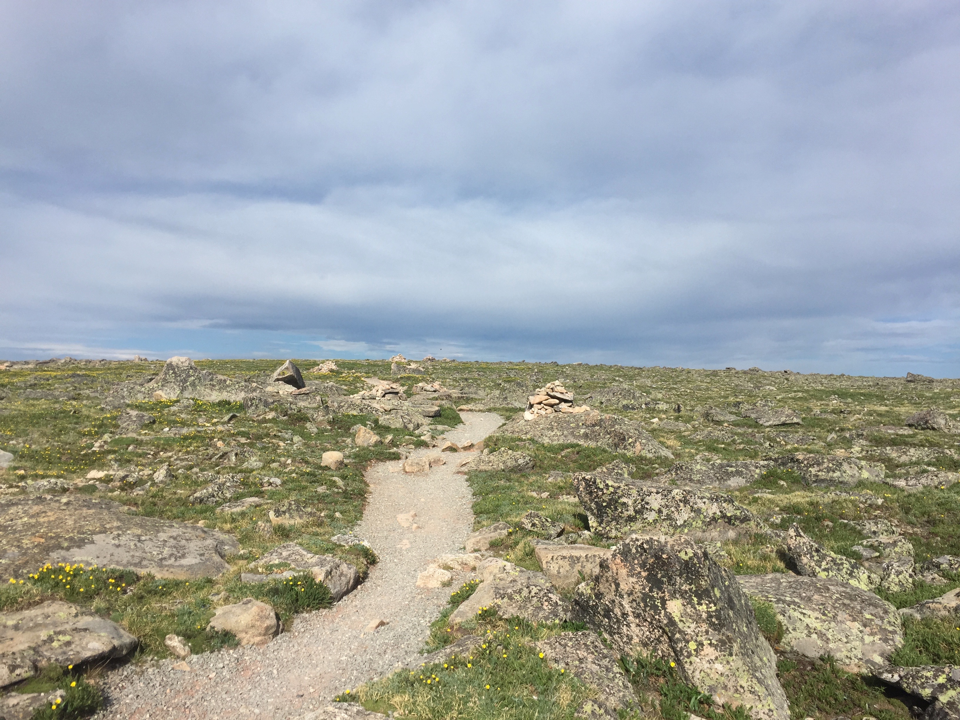
 If anyone wants their kids to get in some hiking this summer, let me know. I’m scouting 12,000 and 13,000 peaks next. A 14er by end of summer.
 Karen and I returned to the


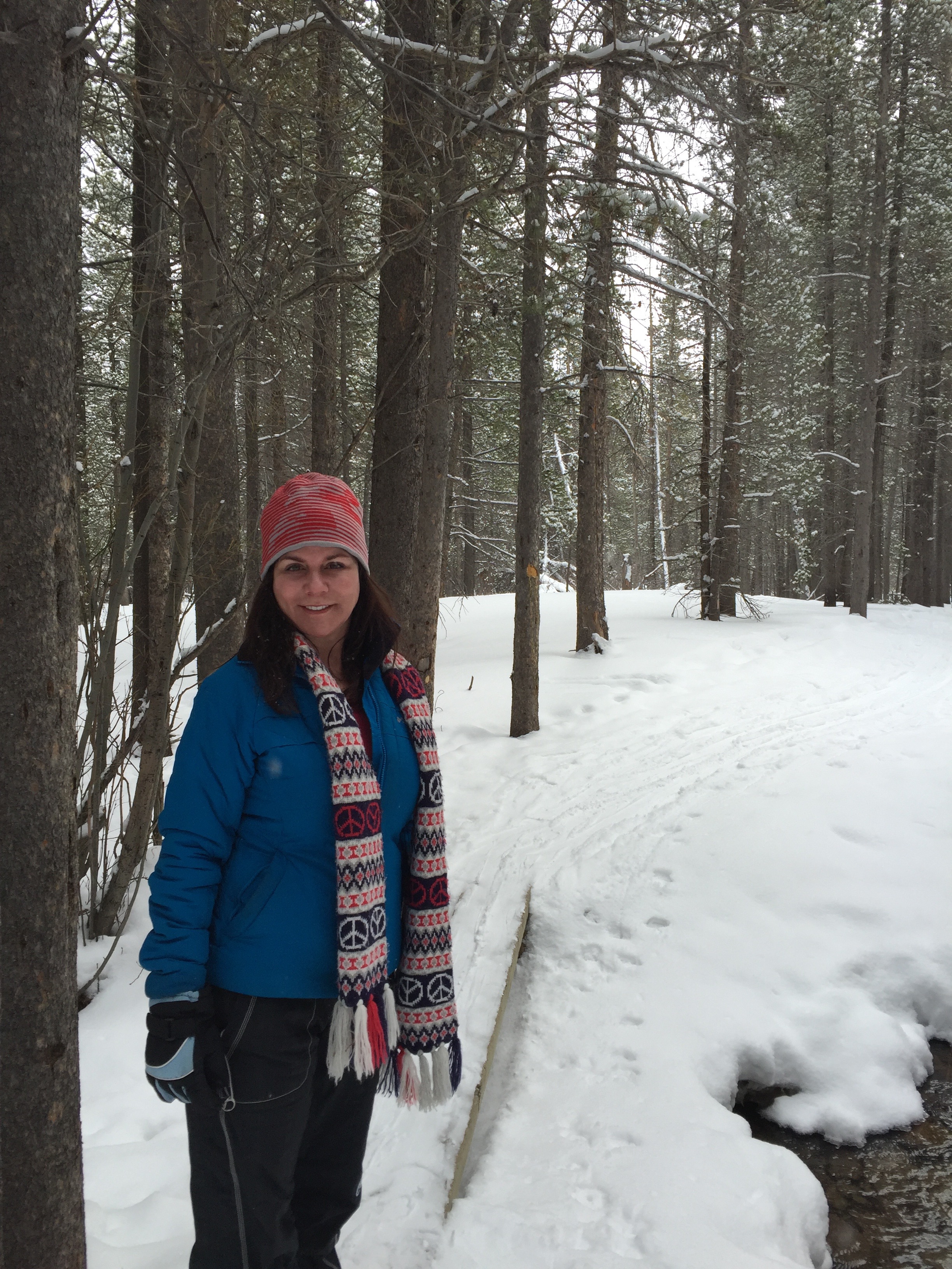

 I take Friday afternoon off from work, arguably early in the year for vacation but I’m finding the transition back from two full weeks away difficult and believe pacing myself is the best path forward. Karen suggested that we snowshoe in Rocky Mountain National Park over the weekend. The one sport we do well together. As you might know, Karen is a little bit dancer and I’m a little bit runner. Snowshoeing is where we can come together. So Karen booked a night at the


