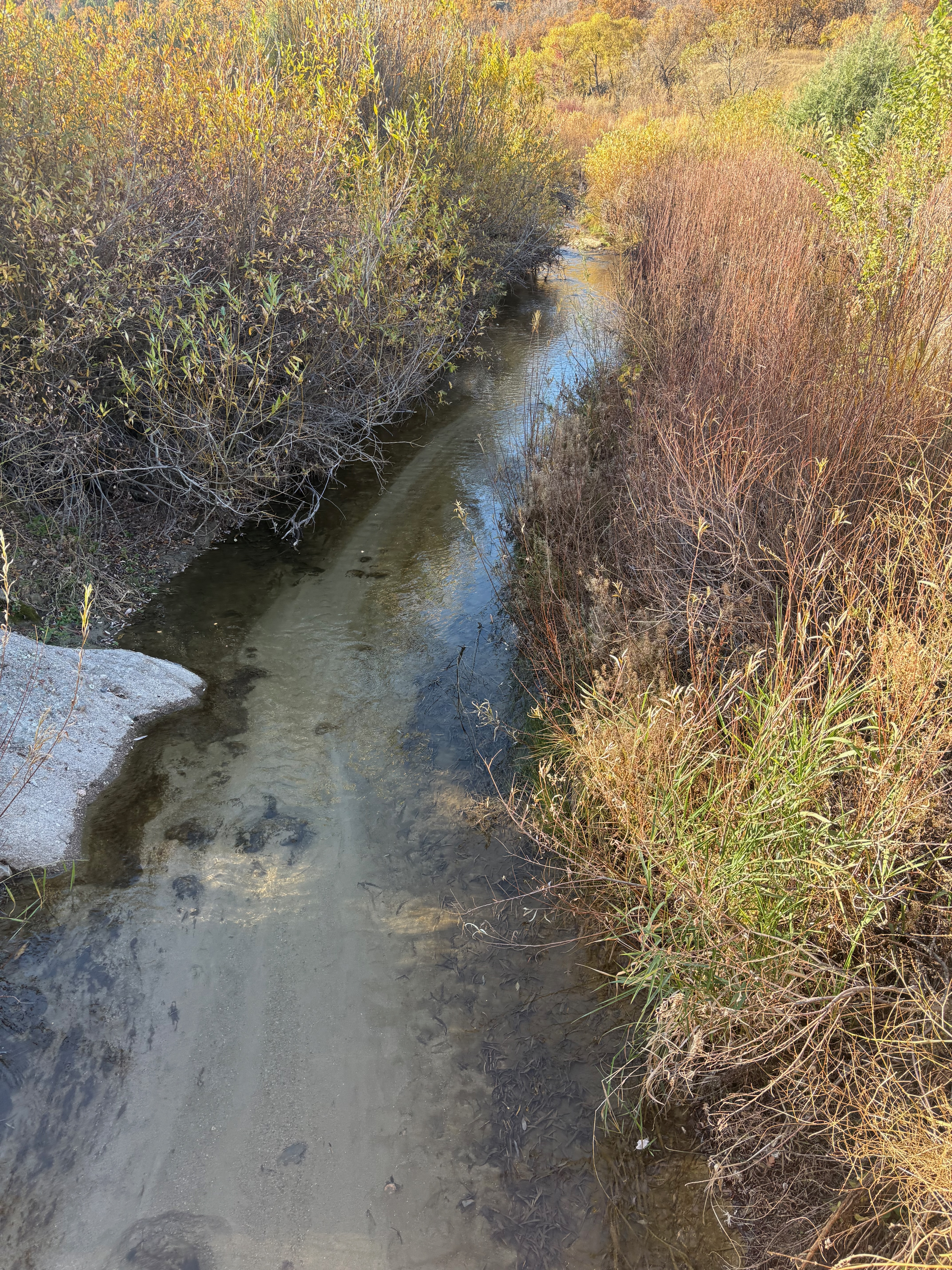
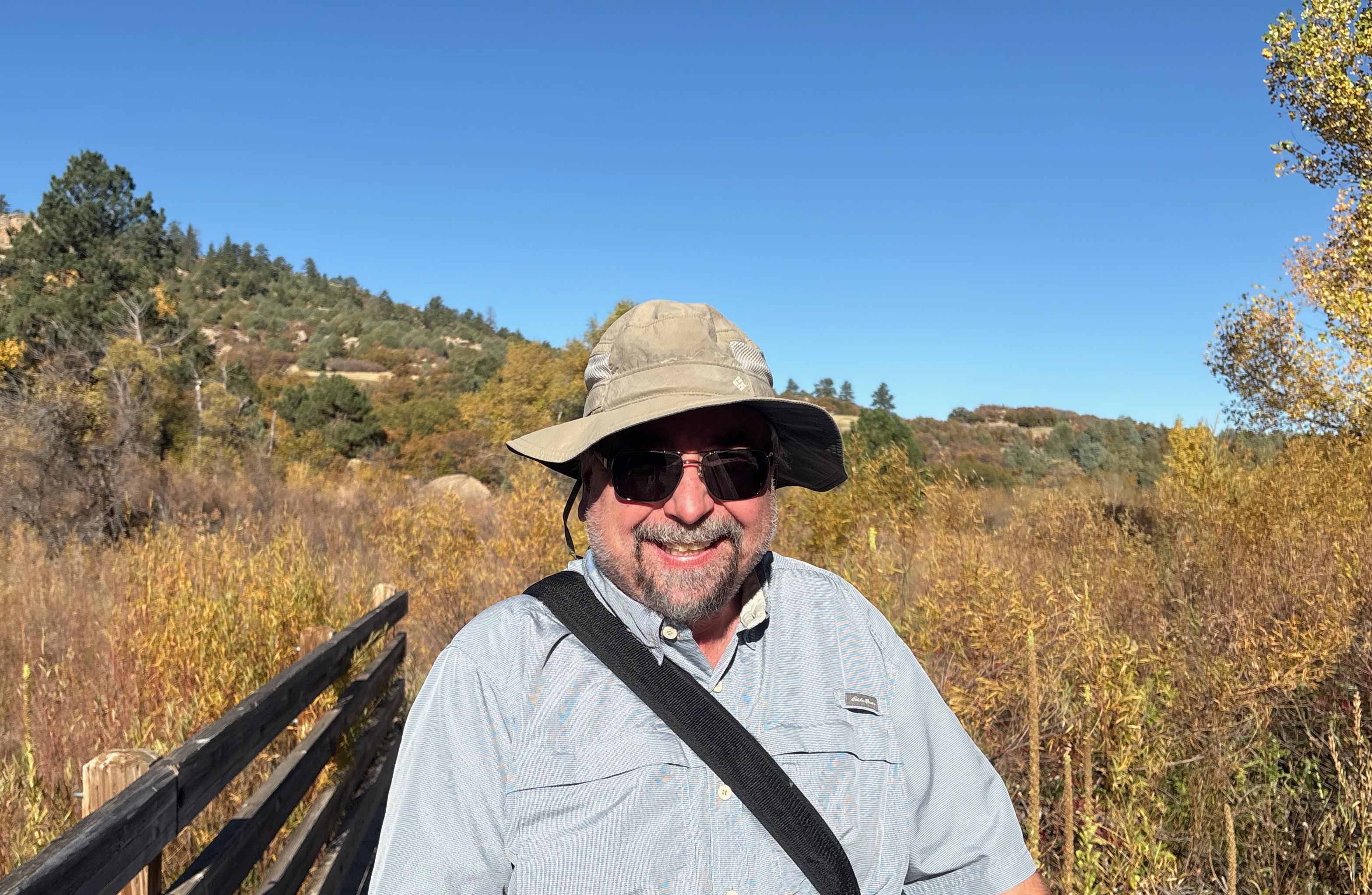
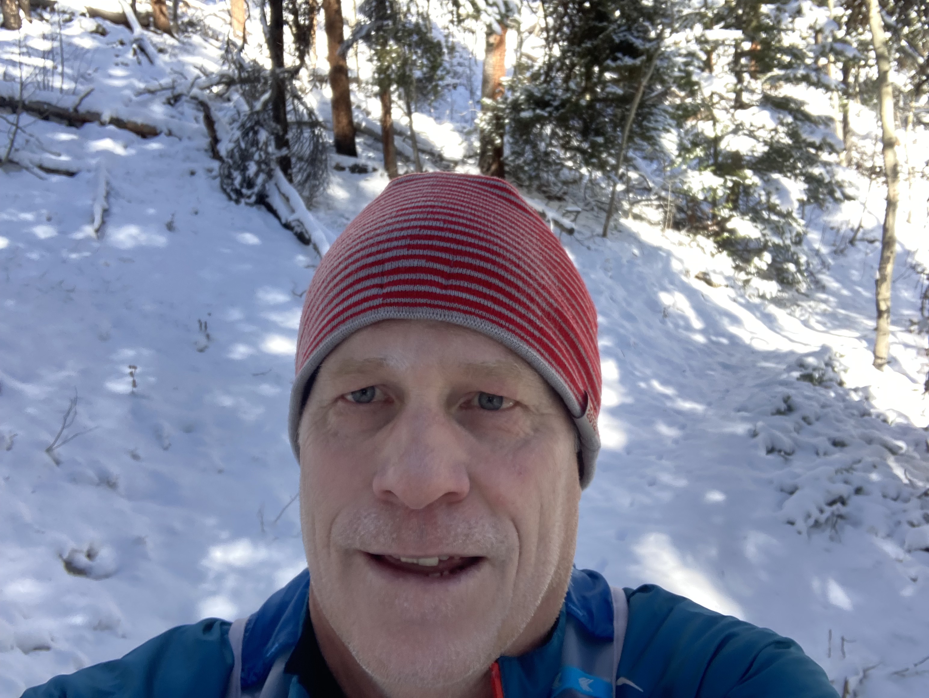
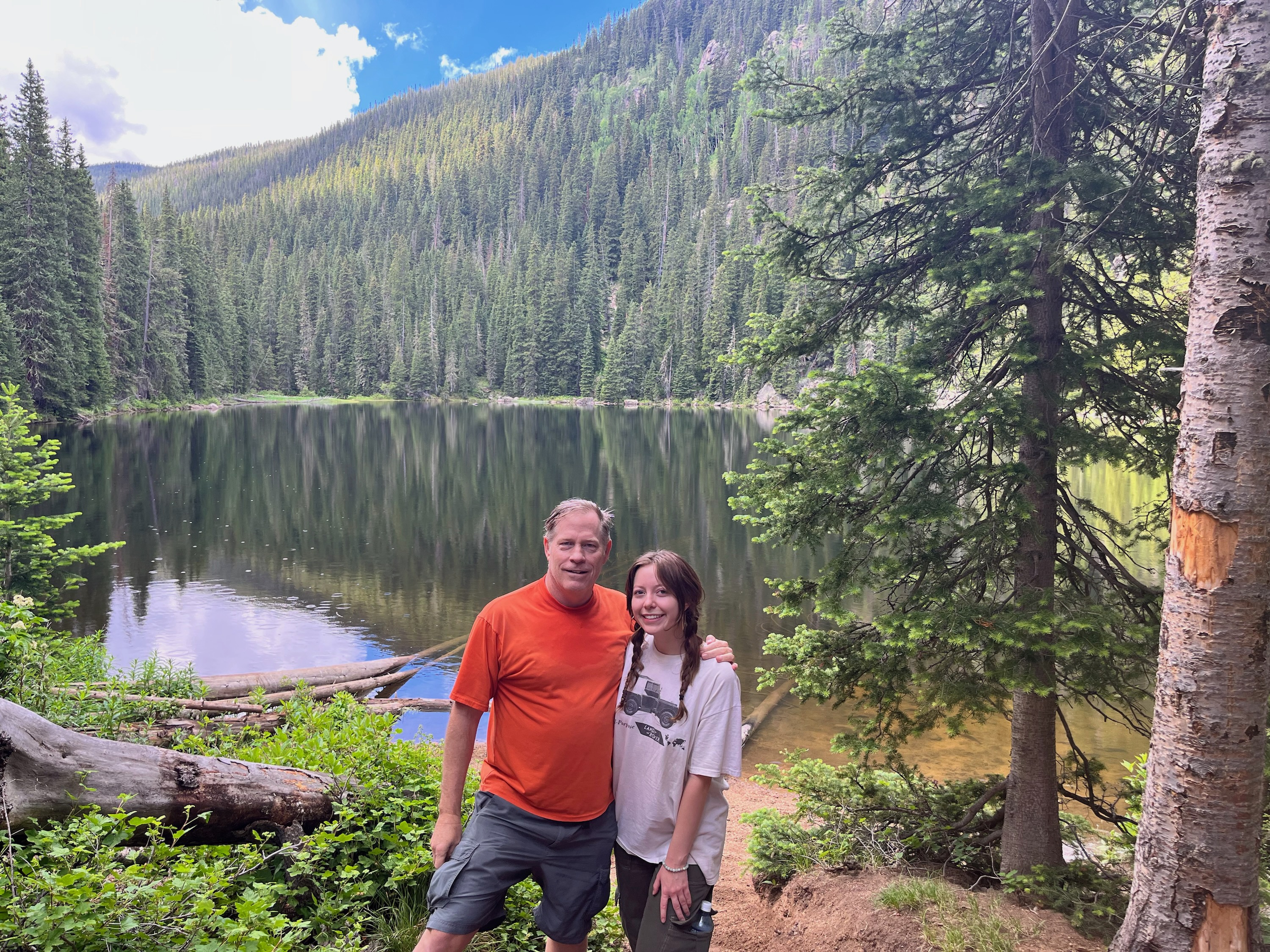
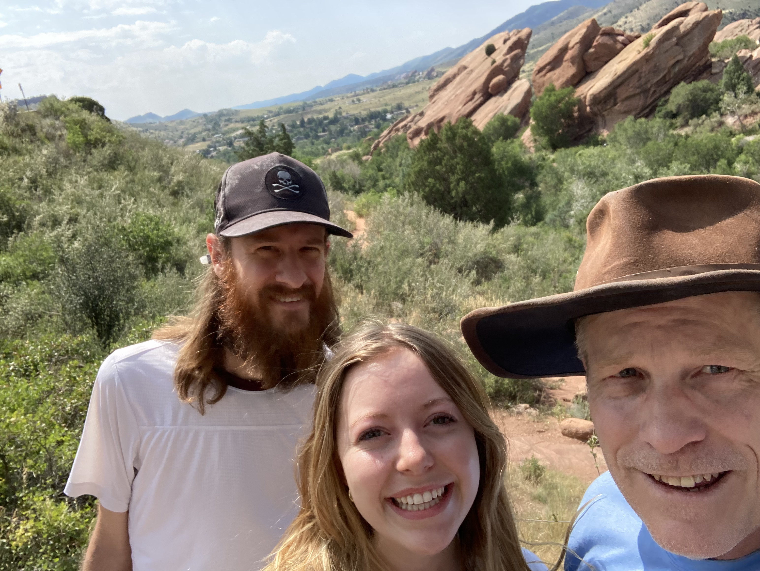
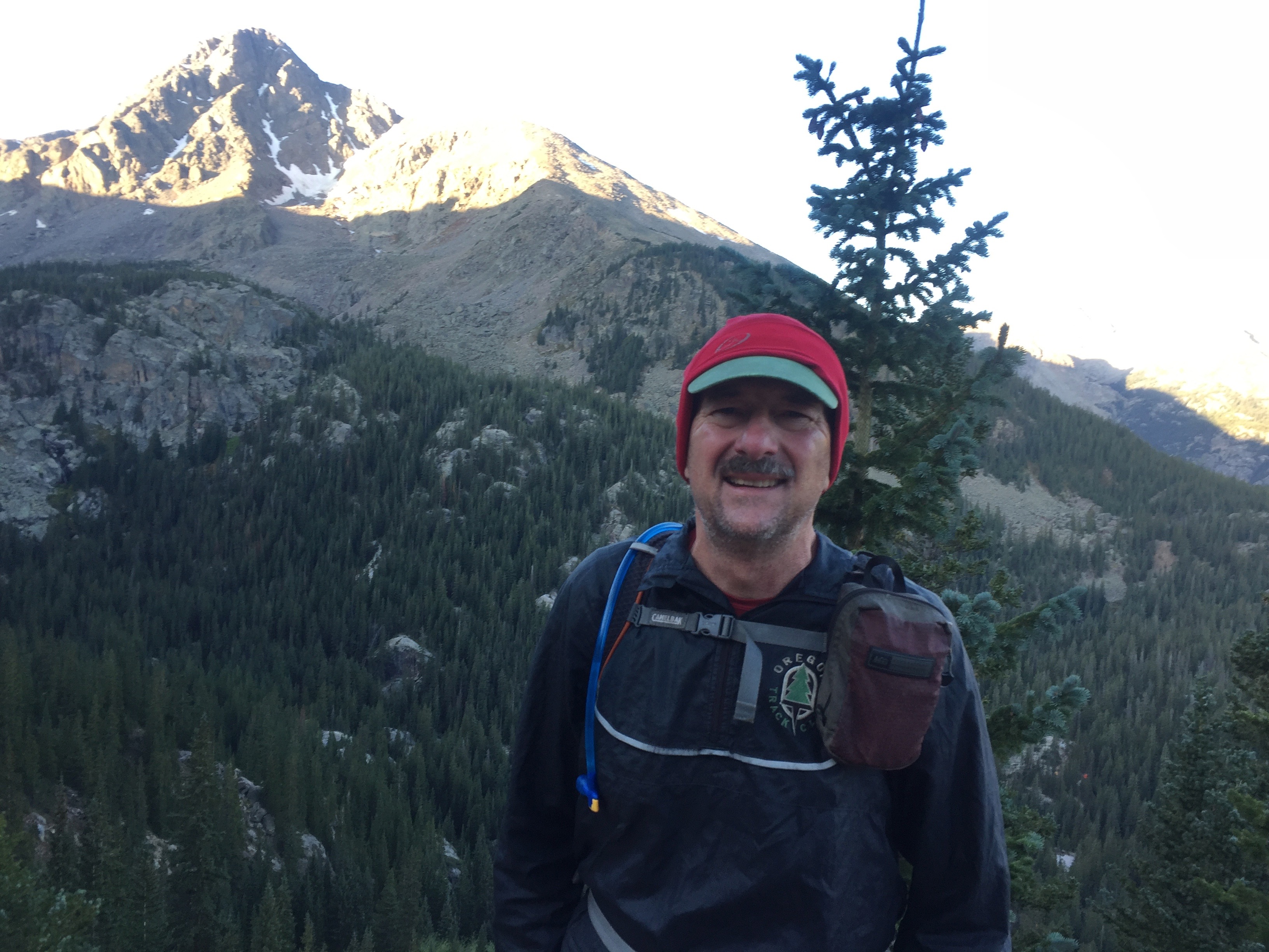
This gem of a state park is just a few miles east of Castle Rock. Possibly the skinniest state park in Colorado, it runs a few miles along Cherry Creek as it flows through the canyon. That’s Pike’s Peak over Todd’s head.
A few steps past the trail head, we spotted a deer. Or it spotted us.
Springs, groundwater seepage, and snow/rain runoff, from Monument Hill, formed the canyon tens of millions of years ago. Cherry Creek looks like a river as it flows through downtown Denver, here it’s a stream.
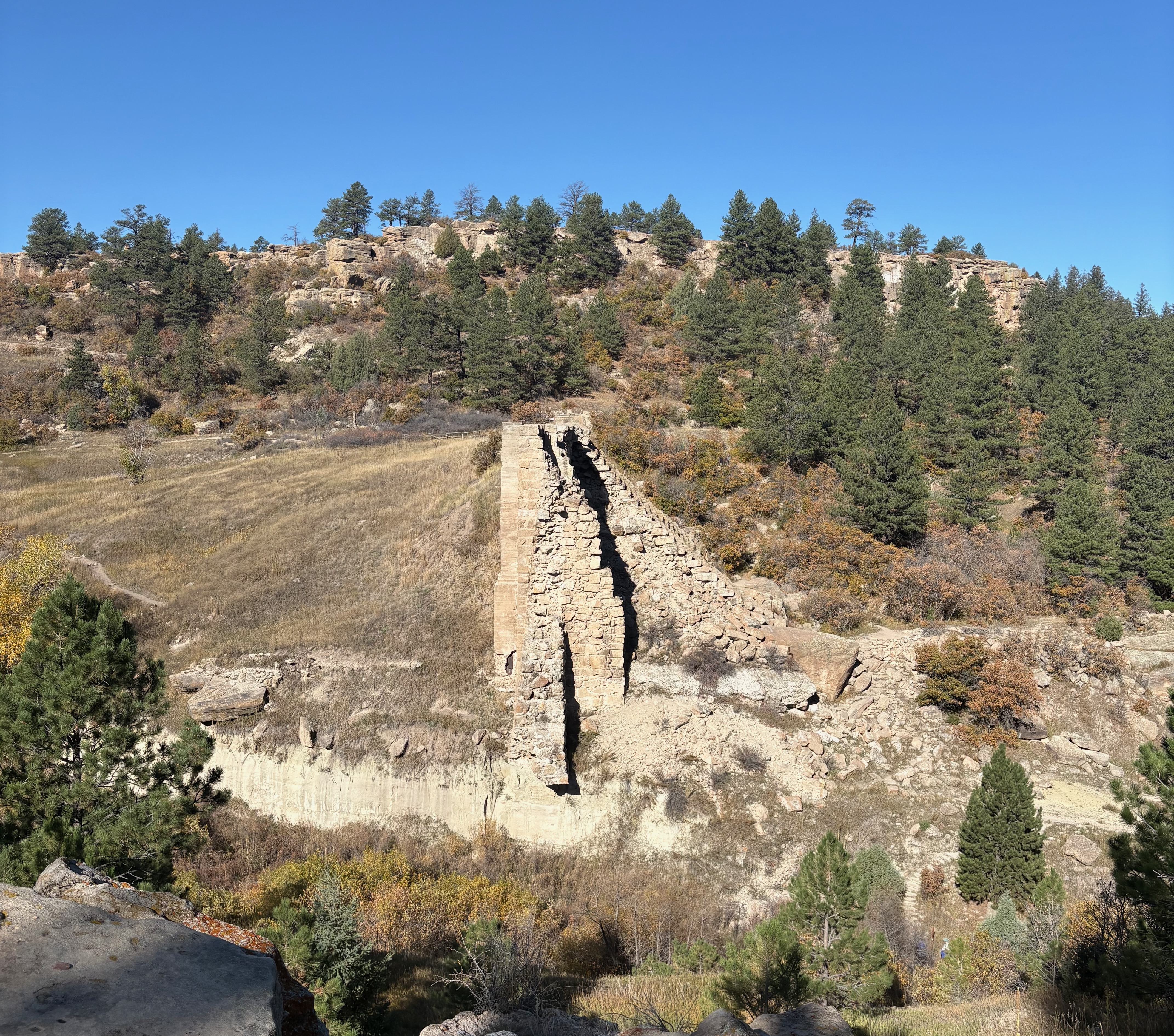
Arapaho and Cheyenne once lived on the plains in the Cherry Creek water basin. Settlers built a dam for irrigation in 1890. In 1933, a flood destroyed it, submerging downtown Denver for days and leaving these remnants.
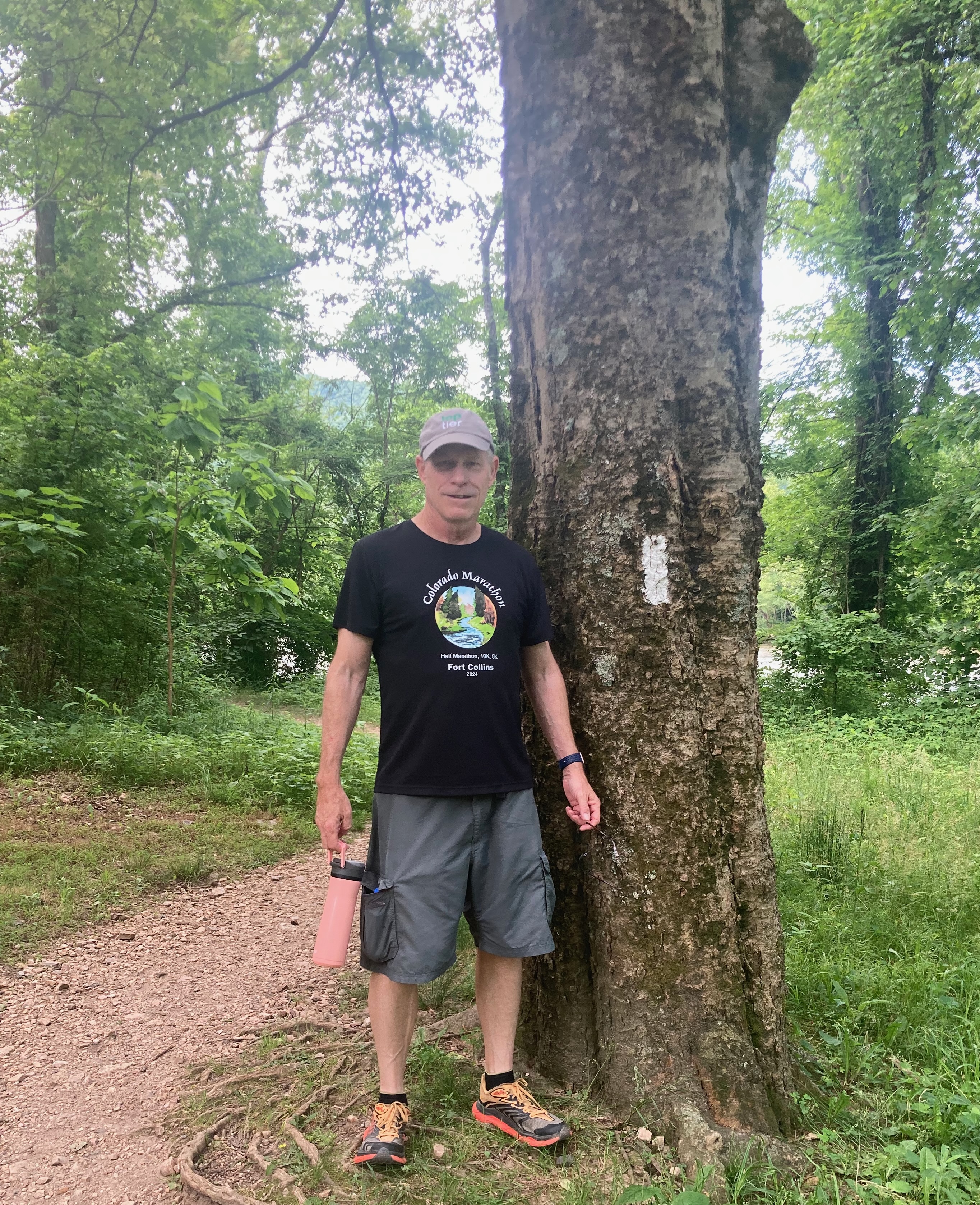
You have to see this tree for real, the photo doesn’t do it justice. It’s been twisted like a cork screw by nature around and around and around.
I saw this sign after stumbling on the trail.
After three hours of vigorous hiking on a beautiful fall day, we rehydrated at the Wild Blue Yonder brewpub. Their wings are amazing, and I’m a wing expert. The German IPA was also very tasty. I’m sure there is more than one IPA in Germany, but here they just have one so they call it the German IPA.
Thanks for the hike and showing me a new trail, Todd.
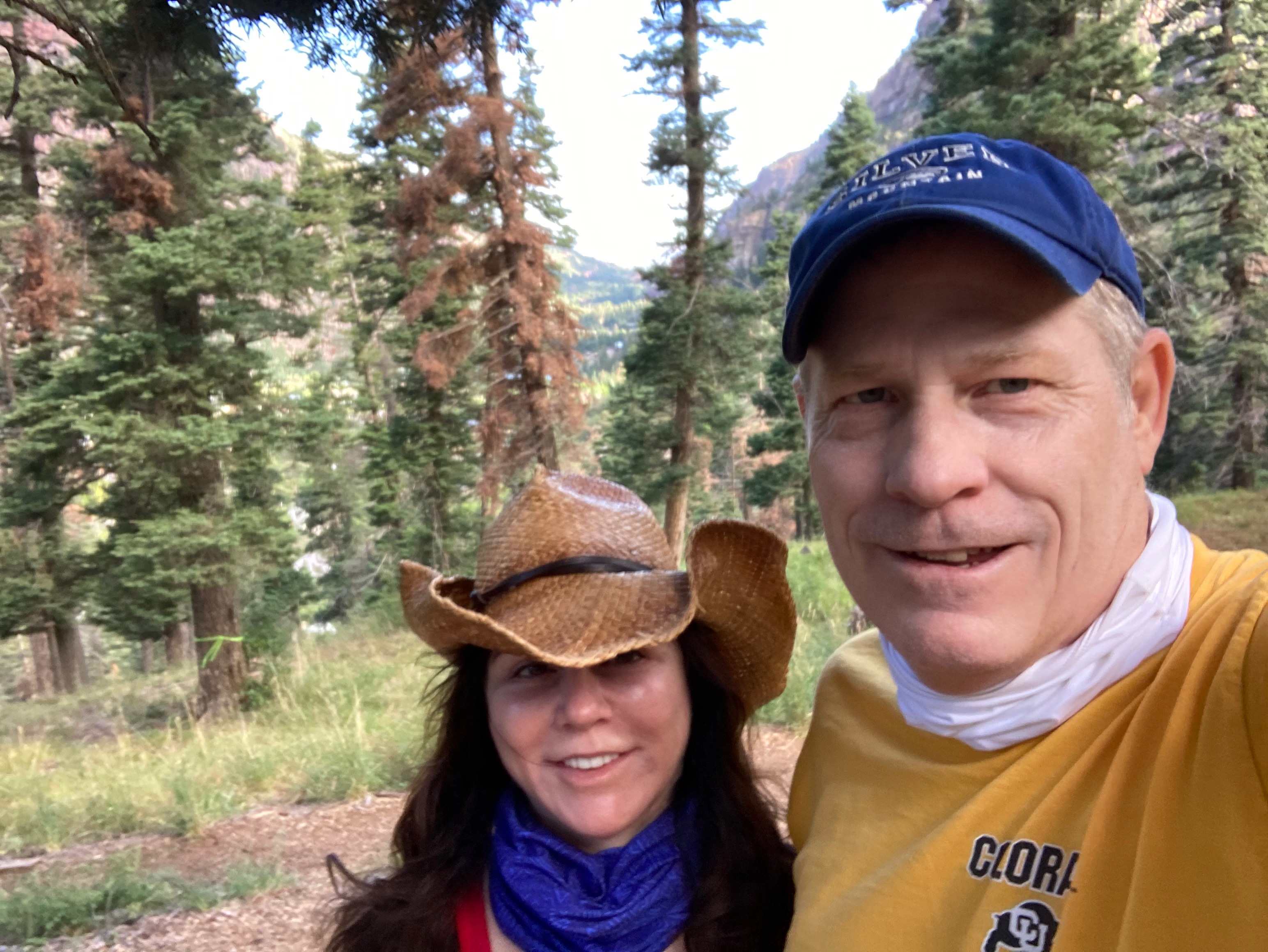
Karen and I first discovered Peaceful Valley in January of 2014 when we snowshoed there. The thick trees sheltered us from the winter winds. We hiked there last Sunday and returned today. Such a pretty trail. We got in a good two miles in an hour.
Highway 7 back through Lyons was closed due to an accident so we ventured the other direction and lunched in Estes Park on the veranda at The Stanley Hotel. It’s good to have options.
Angel Fire was first named by the Utes – Fire of the Gods – after the gloriously red and orange sunsets and glow seen above the mountains at dusk and dawn. The Spanish later renamed it The Place of the Fire of the Angels. Renowned explorer and buffalo killer Kit Carson would later rename it to Angel Fire. Karen’s good friend graciously lent us her condo at the resort for the weekend. A weekend when the air quality in Colorado meant working out indoors if at all. Not only was there some visibility in New Mexico, but it was 20° cooler.
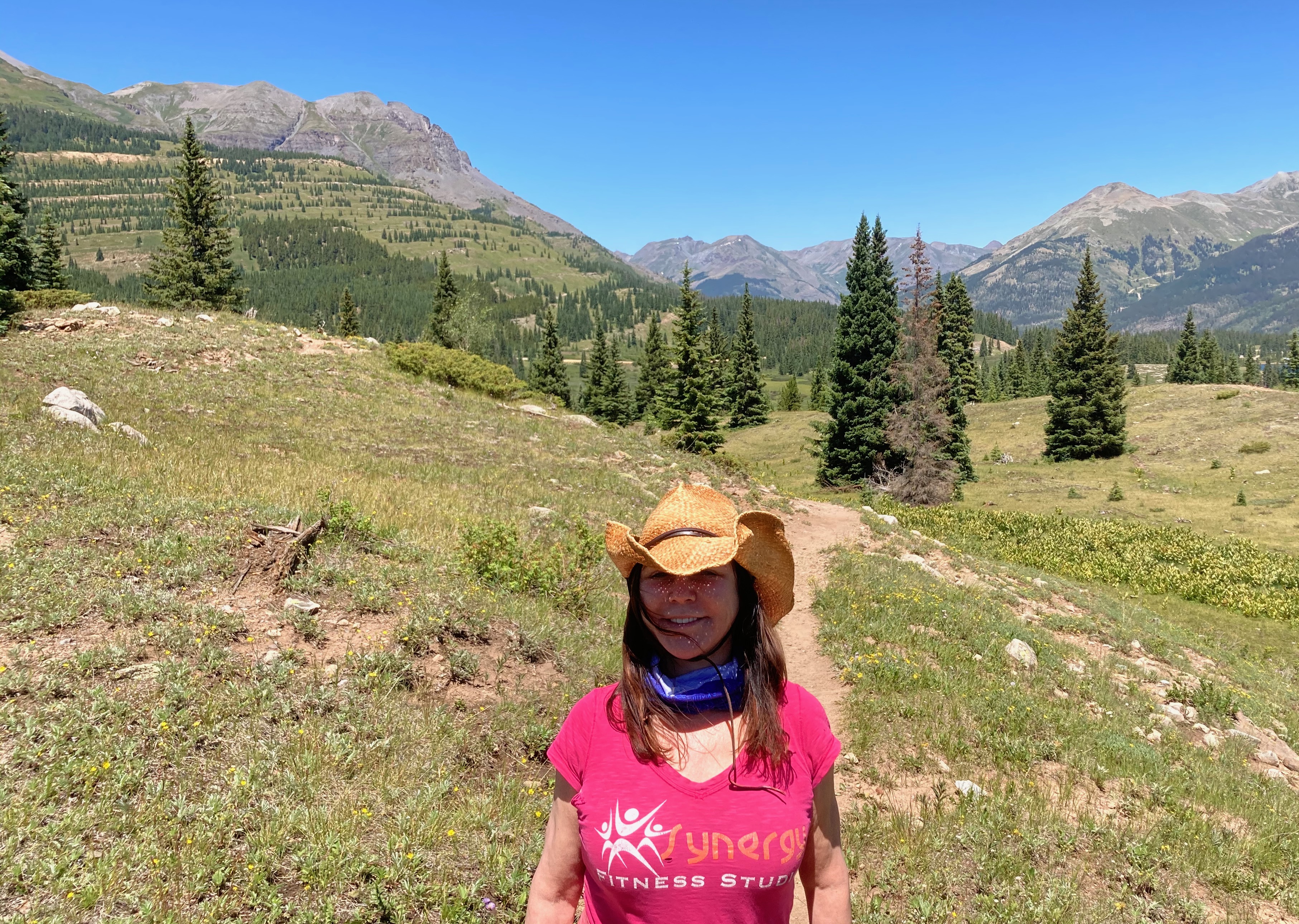
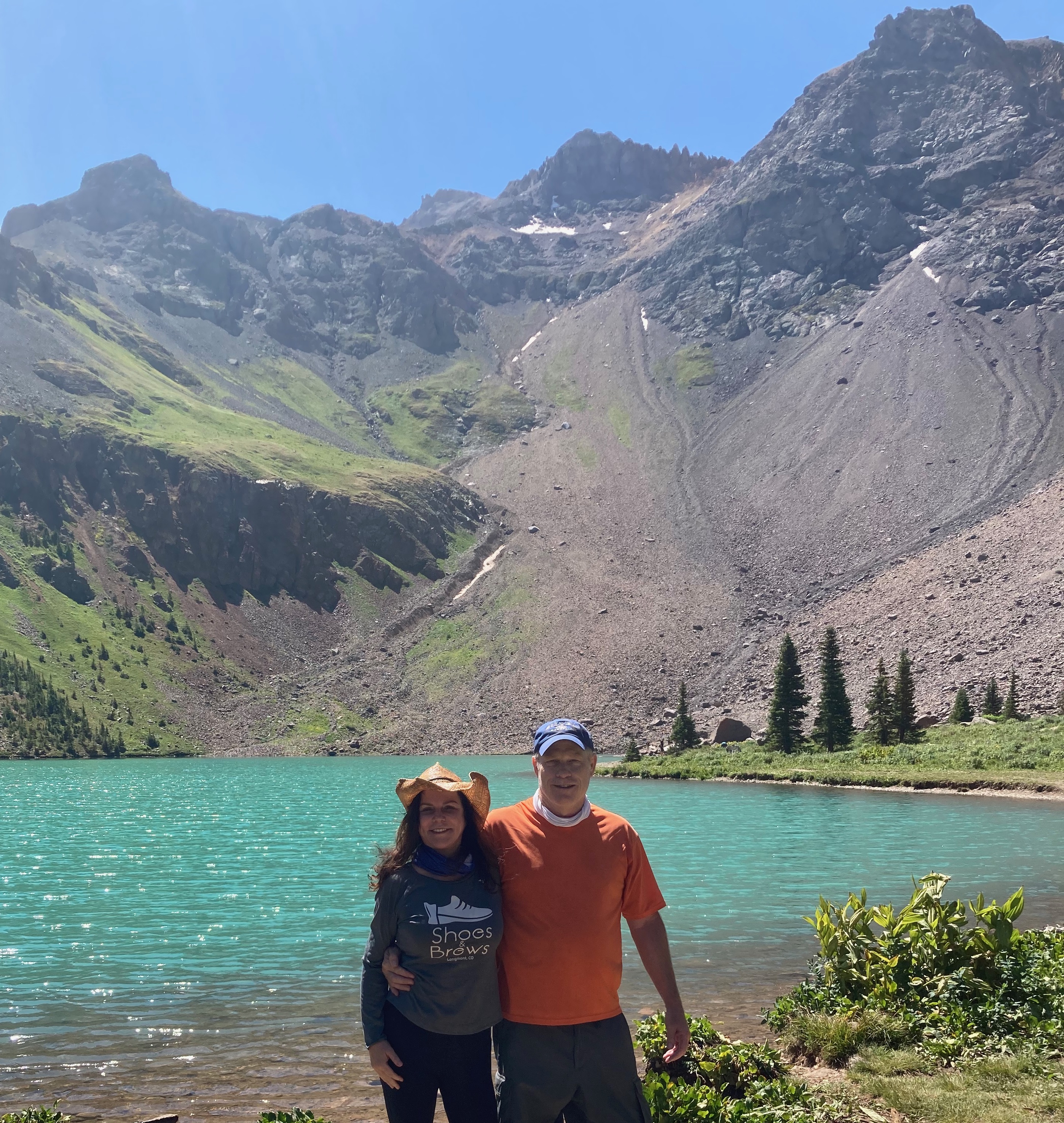
I was in Angel Fire last in 2016 to run a 24 hour relay through the ski slopes with my friends. Karen and I hiked the Greenbelt across the road from the ski slopes because they are 99% dedicated to mountain bikers during the summer. We hiked the Lady Slipper near Monte Verde Lake Friday morning. The two photos above are from that trail.
We hiked the Deer Trail Saturday morning and we saw deer.
Brit got in a trail run while Karen and I hiked.
Once we returned to the condo, Eric launched off to Taos via the South Boundary Trail for a 22 miler.
We picked him up at the El Nogal Trailhead outside of Taos after strolling around town a bit.
Eric said it was his prettiest run of the year. He only saw 3 others, mountain bikers, the entire distance.
I’ve yet to run but expect to get in a few miles tomorrow. Nothing as extreme as Eric.
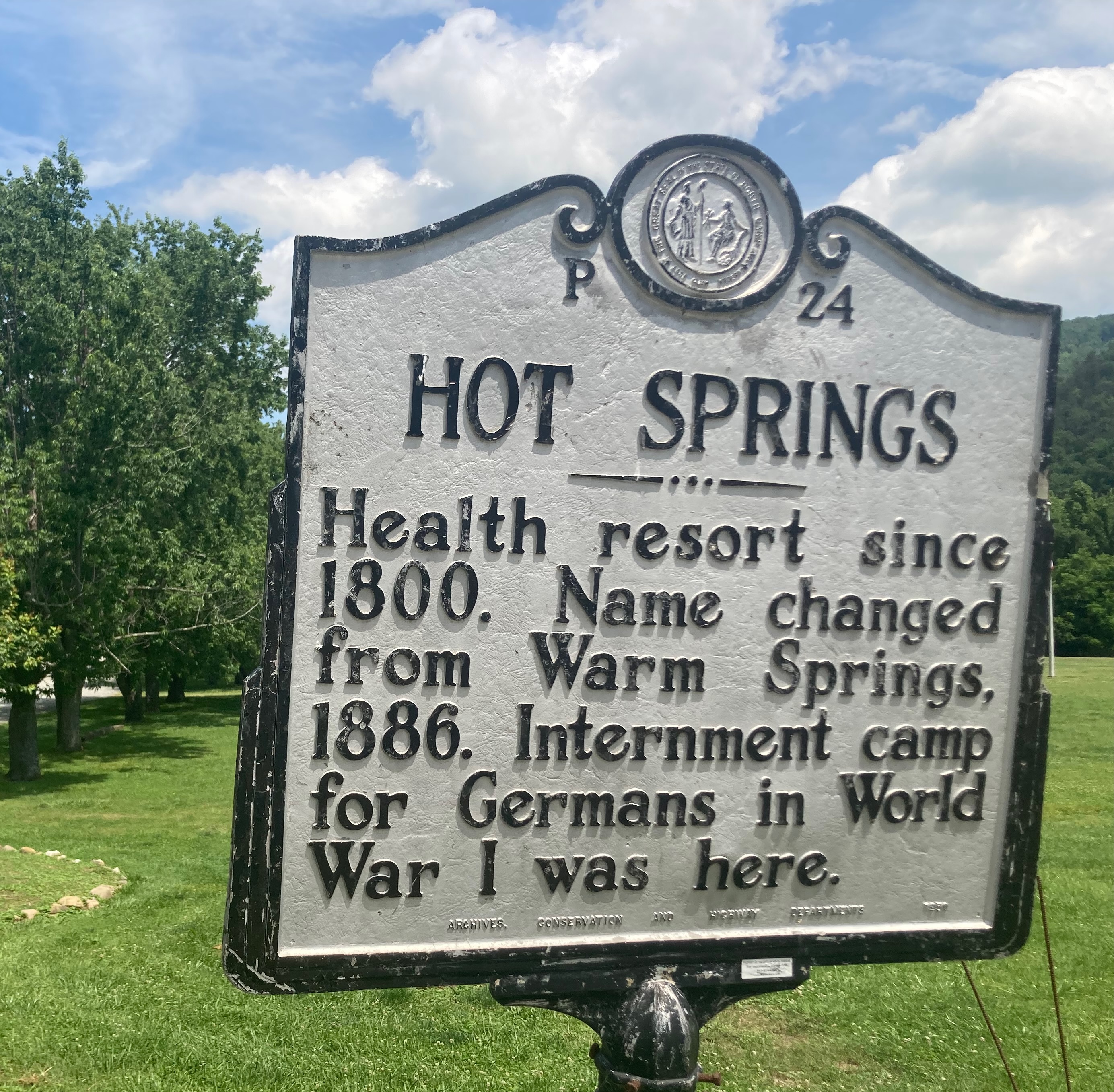
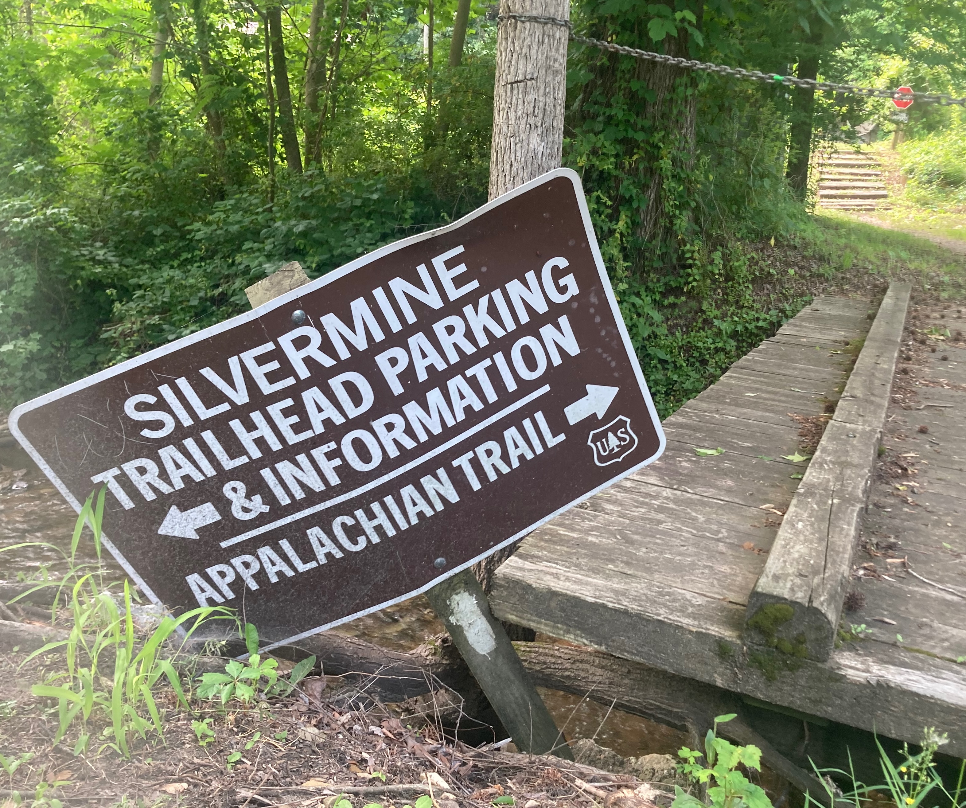
Karen and I hiked the Lover’s Leap Loop in Hot Springs today. It’s a short segment of the Appalachian Trail which I’ve always wanted to see. The AT actually runs through the middle of town, so it’s safe to say that Hot Springs is even more of a hiker’s town than Ashville.
The trail is famously marked by white trail blazes.
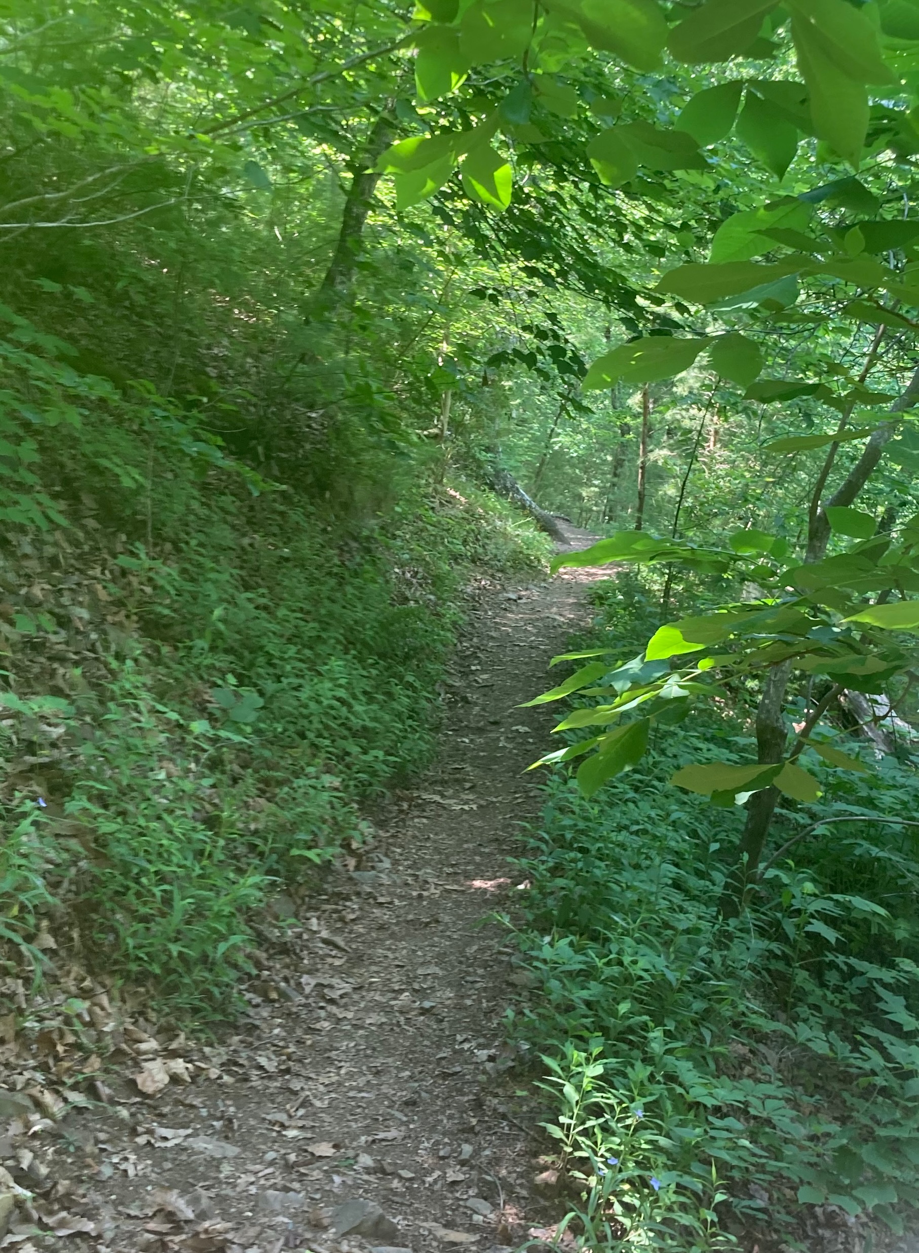
We parked in town and walked across the bridge spanning the French Broad River to reach the trailhead. The trail followed the river for a bit before climbing up to Lover’s Leap. Like my trail run the other day, there were very few flowers among the greenery. We saw mostly the same plants.
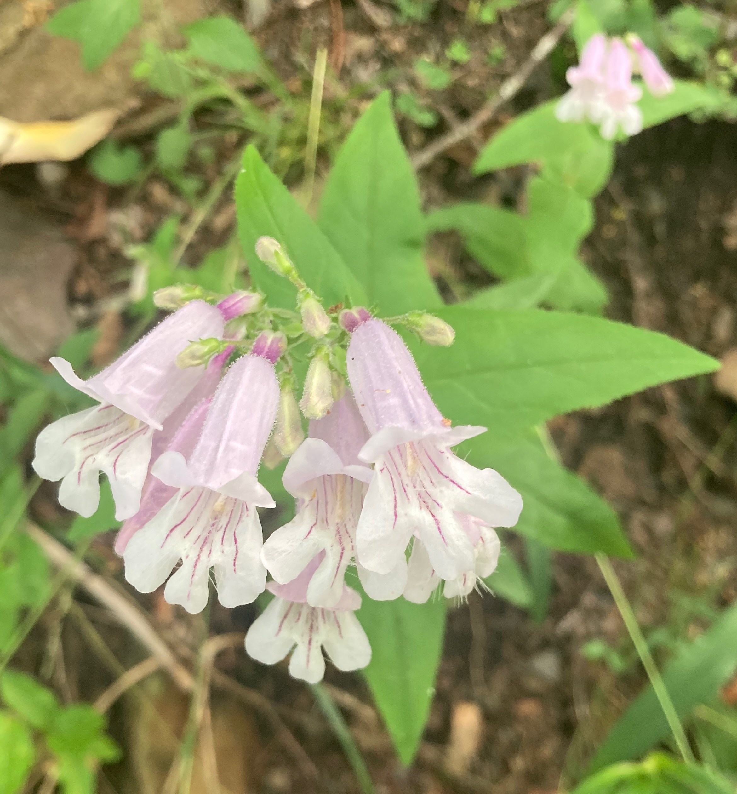
The Lyreleaf sage is very pretty in a sea of green. And there were more Mountain Laurels.
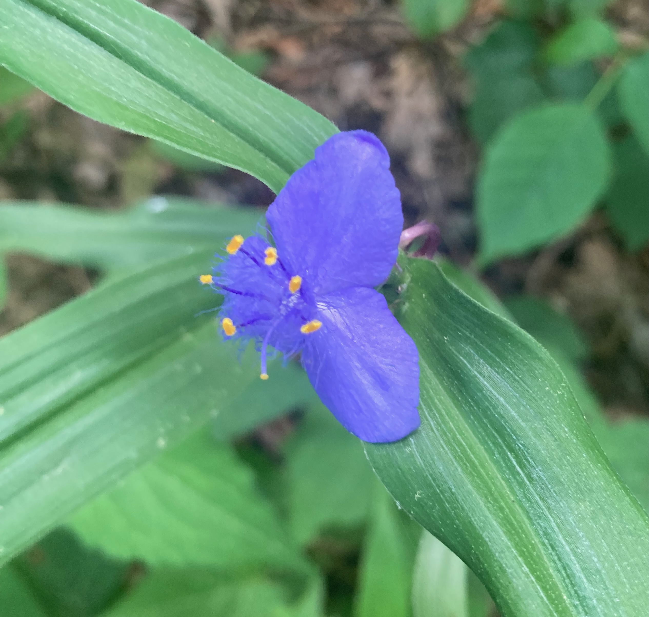
This Virginia Spiderwort was new for me to see on the trail. Of course, we saw a million plants yesterday as part of touring the gardens at the Biltmore Estate. Vanderbilt had one heck of a backyard. Tomorrow, I’m taking Karen for a hike on the Hard Times Loop I ran earlier this week. We’re getting in some quality outdoors time in the Blue Ridge Mountains.
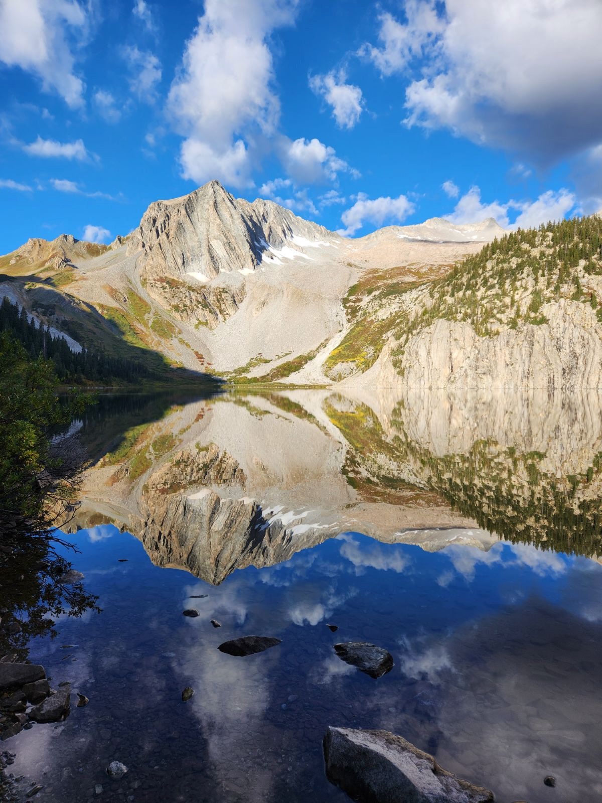
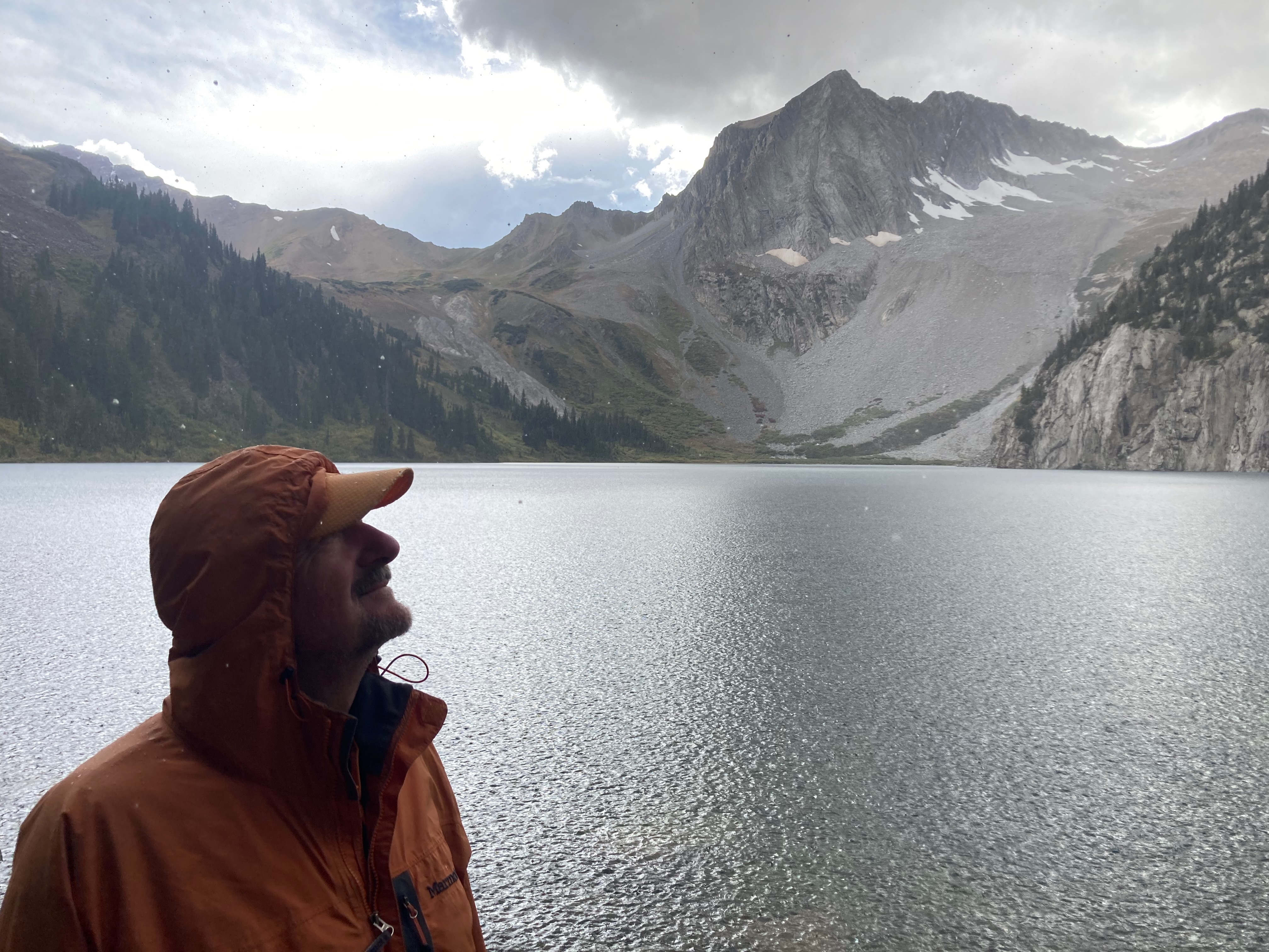
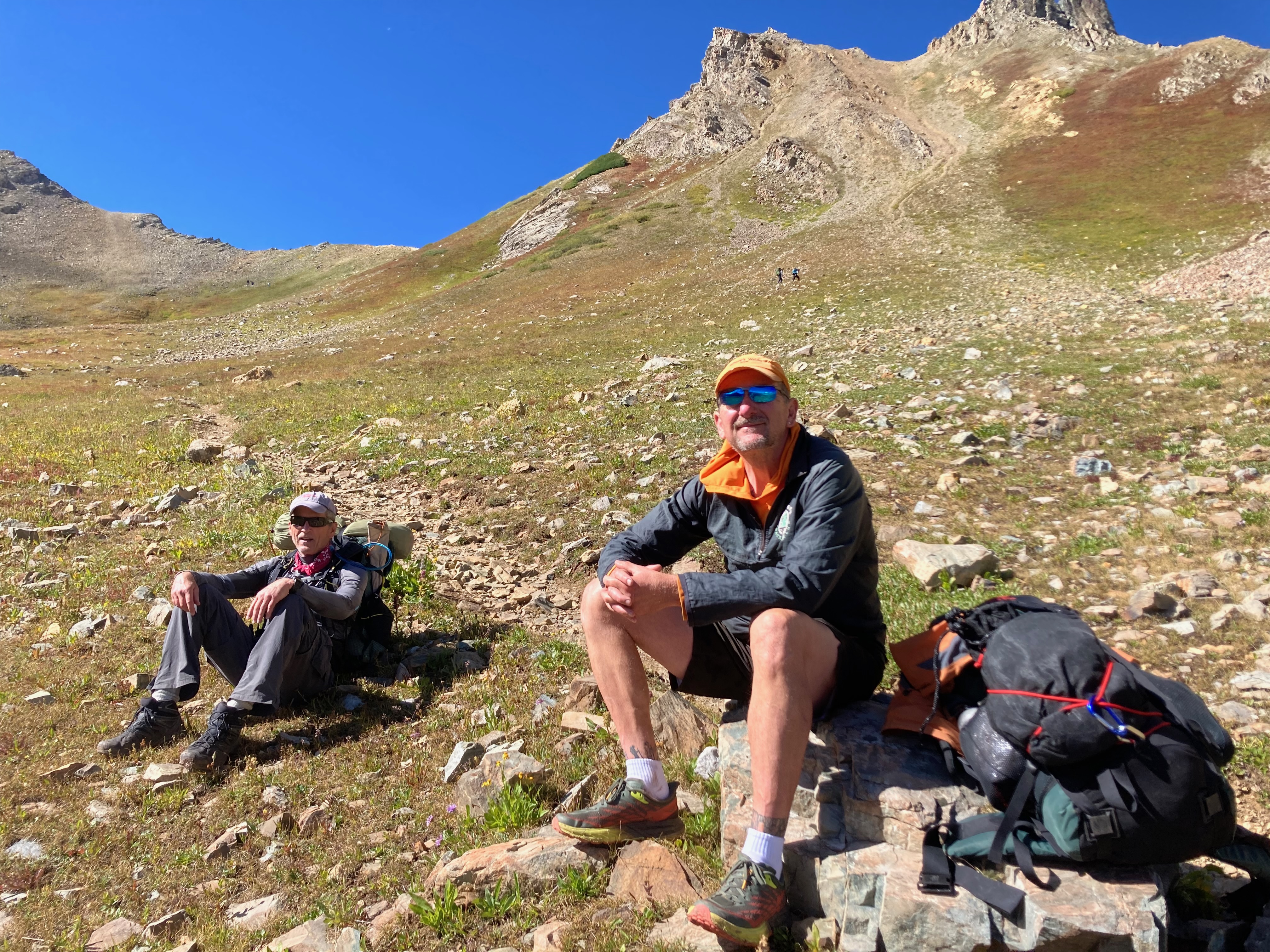
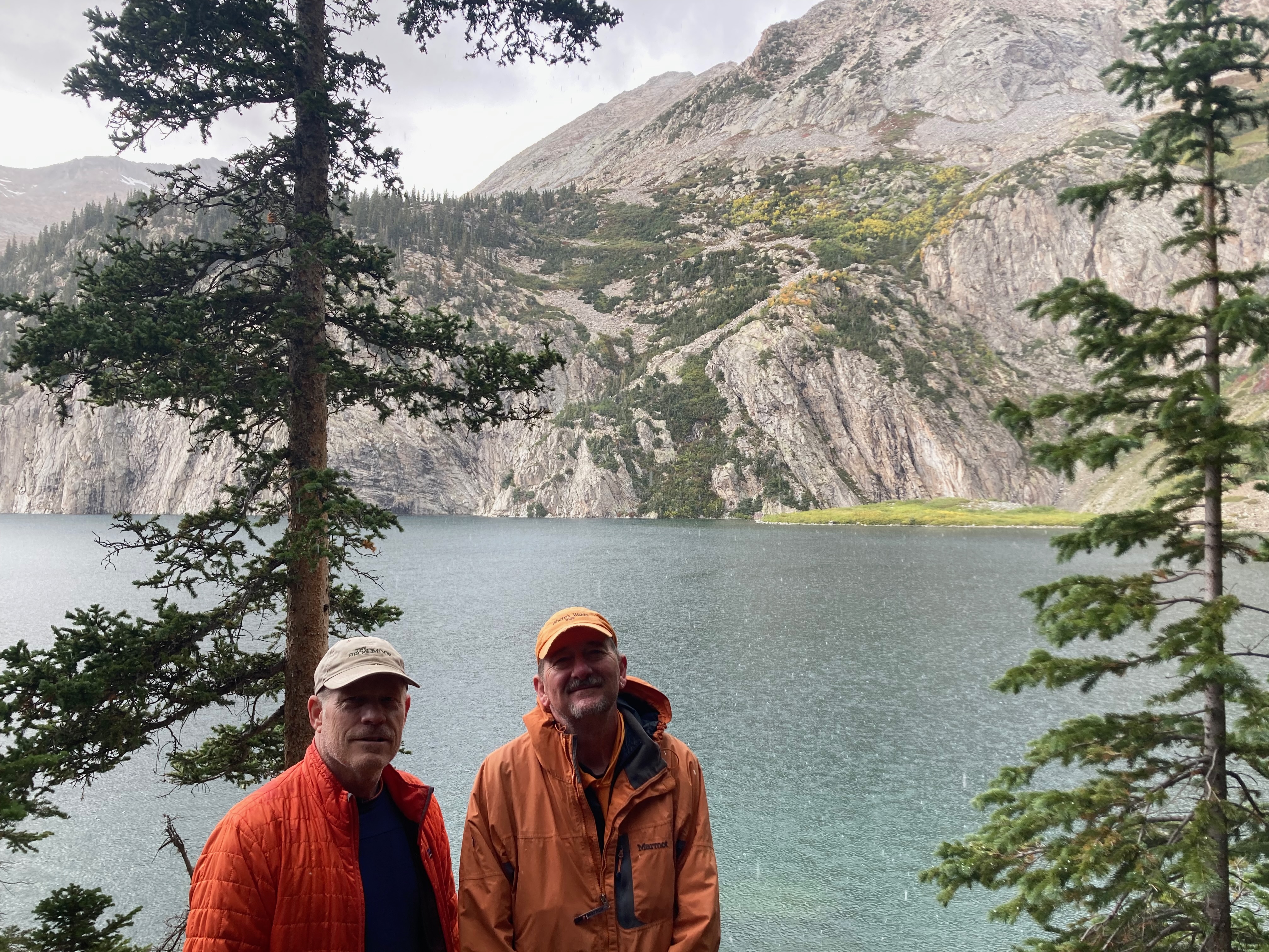
We were three men in our sixties. We were three men who hiked over Buckskin Pass to sleep under the view above of Snowmass Peak.
We woke up to a bit of snow at the Snowmass Lake Campground. Rob ported a flask of whiskey in his pack, so we found ourselves talking as we setup camp each night.
And you know me. I’m not a big talker. So, anything I share here probably came from either Rob or George talking.
We talked about our health. Because we’re men, our talk was graphic, and because it was graphic, it was funny.
We shared stories of our heroic wives for sending us out together into the remoteness of the Maroon Bells. They’re the best.
We told stories that only sixty-year old men could tell. Stories of what’s next.
Karen and I spent a couple of days in Buena Vista, researching potential retirement ideas. I’m interested in someplace with trails. We took the interstate instead of Hwy 285 because it offered more options for lunch. We drove into October clouds at Loveland Pass and soon found ourselves in a whiteout of sleet. Winter comes early to the mountains.
*** Colorado Trail ***
I first drove to this trailhead on segment 12 of the Colorado Trail in 2011. It’s a few minutes west of Buena Vista on CR 365. You could scrape by with a low profile vehicle but there is already snow on the last mile so consider 4WD in October. I launched northbound from here to Harvard Lakes.
The first mile was steep but offered up some nice views, both of the Arkansas River Valley to the east and more mountains to the west. Unlike the drive in the previous afternoon, the skies were clear with bright sunshine. The cold air was a bit of a shock though at 25°. The trail was dusted with snow but my Hoka Speed Goats provided good traction.
One Mile
The snow deepened a bit at one mile, but the trail flattened out and I was able to start running. At this point I wondered if I should had brought along trekking poles.
Two Miles
Further into the darkness of the forest, around two miles, the snow deepened to four inches. The trail was still runnable but my ankles began to get cold and my feet became wet. Gaiters would have been brilliant but I wasn’t expecting snow.
I wasn’t thinking of my discomfort though. Rather, I was wishing I wasn’t experiencing this spectacular day and trail by myself. I lean toward introversion. There are times I like to be alone, times I need to be alone, but never when I’m experiencing something so wonderful. I like to share times like these. This trail was just so perfect, I wished Karen or my girls had been with me. I felt guilty being the absolute only hiker running this trail. I felt like I’d stepped into heaven and was stealing from God.
Creek Crossing
There were two creek crossings in the third mile. This log bridge was fun. The snow deepened even further as the third mile rose higher in elevation and the trail became tougher to spot. I lost the trail once but steered back on by watching for cut logs.
Harvard Lake
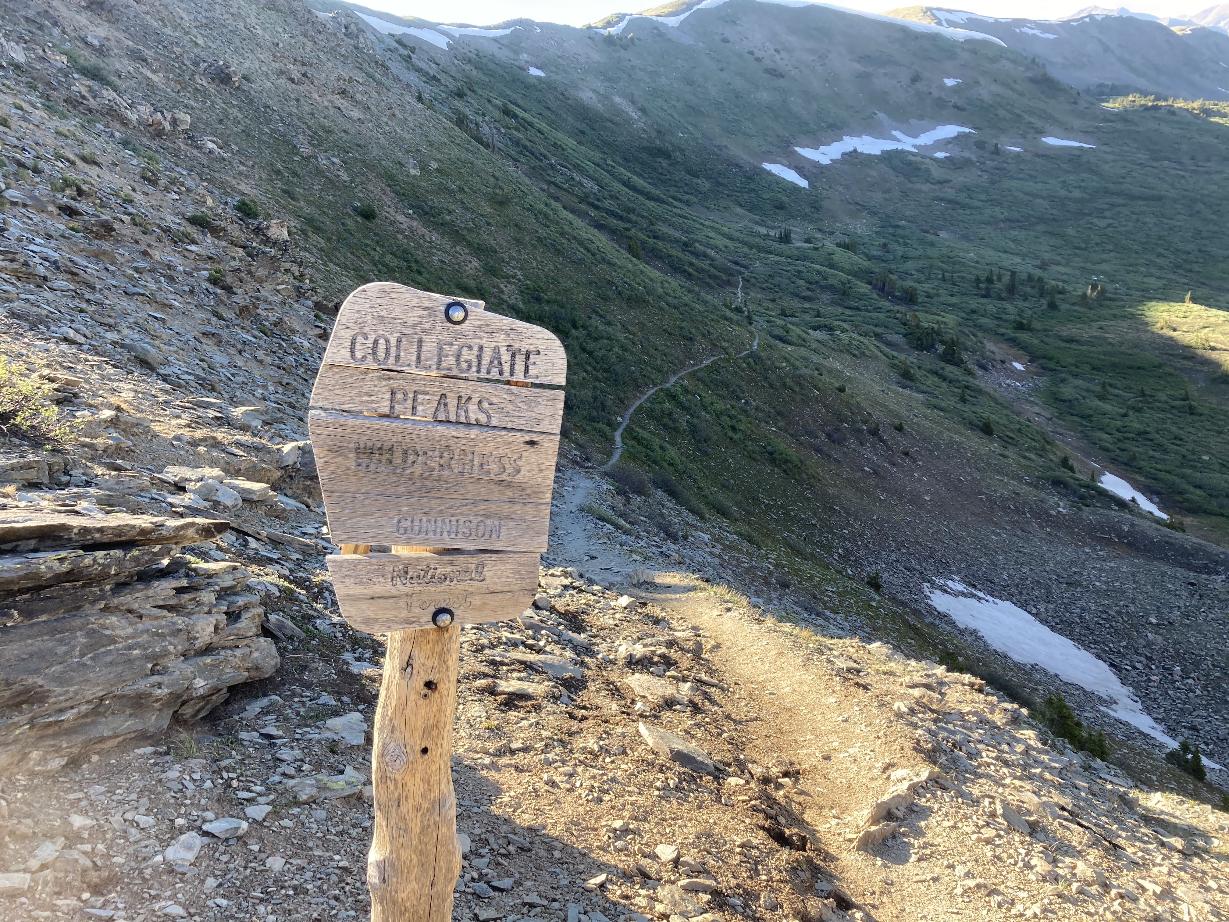
I was enjoying myself so much that I could have kept going for hours, but turned around at Harvard Lake per plan – right at three miles. And it did actually take me a full hour to reach my turn-around point. The snow governed my pace as much as the elevation gain. Just a section of the Sawatch Range, the Collegiate Peaks earn their name because they contain 5 fourteen thousand foot peaks named after universities – Harvard, Yale, Princeton, Columbia and Oxford. The Colorado Trail, joined with the CDT, loops around both sides. The eastern loop is perfect for running. The western slope is less pedestrian, mostly above tree line.
*** Broken Boyfriend ***
Arkansas River
I ran the trails across the eastern side of the Arkansas River the next morning. These are almost urban trails for BV, similar to the trails that loop around Ouray, but more extensive and much more runnable. There are numerous loops. I crossed the northern bridge to start and climbed up the Northern Trail.
View of Mount Princeton
Everywhere, even on the climbs, the trails undulated with fun dips and graceful switchbacks. The Northern Trail connected with Broken Boyfriend which side-hilled south where I descended back down to the river on the Southern Trail. The Bridge-to-Bridge Trail brought me back to my start. There were other connectors and options to run further, but I had to check out of the hotel and return home. I had a great two days of running in the City of Trails – Buena Vista.
According to tribal history, the Ute people have roamed the lands of the Routt National Forest since the beginning of time. They were the first peoples to inhabit Colorado and eons before they adopted the horse from the Spanish, they formed the first human Colorado mountain trails. This weekend, Eric and Anthony relied upon the Ute spirits to give them strength as they roamed the trails above Steamboat Springs for the Run Rabbit Run 100 mile ultra.
The start to the tenth annual Run Rabbit Run
Anthony brought Ellen along for the trip. They went to school together with Eric at Beloit College. Ellen ran on the women’s track and cross country teams while Anthony and Eric ran on the men’s teams. Anthony and Ellen married in 2019, just like Brit and Eric, as if they’d predicted the pandemic. Ellen is a nurse in Minneapolis, studying to be a nurse practitioner. Anthony is a biologist/ecologist, studying to be a mechanical engineer. They say you never stop learning.
Across the creek at Fish Creek Falls
Brit, Margot, Ellen and I crewed Eric and Anthony at the first aid station we could reach, Fish Creek Falls. It’s a three and a half mile drive outside of town. Eric came in a few minutes under pace feeling strong, not in the top ten, but after ninety minutes of running, within range. He didn’t ask for all the gels he’d planned to consume, which left us wondering if he was running too hard.
Anthony at Fisk Creek Falls
It’s funny Anthony looks to be running by himself above because he was with a large pack of other runners at this point twelve miles into the race. Like Eric, he was essentially on his planned pace. True to his analytical nature, Anthony would run the entire distance to plan. Eric was another story.
Siobhan and Tracy
The women were fun to watch run through aid stations or out on the trail because they shared such strong camaraderie and spirit. A couple of 40-49 year olds are pictured here crossing the bridge over Fish Creek – local trail runner Siobhan Pritchard from Steamboat and Tracey Larsen from Breckenridge.
Addy Rastall won the women tortoises race
Addy Rastall, also of Steamboat, paced neck and neck the entire 100 miles with Heidi Farfel from Carbondale. They would eventually finish first and second – top ten overall. I’ll finish the women theme with the pair below with Fish Creek Falls in the background. Their bib numbers aren’t visible so I couldn’t get their personal details.
The race timing provided online tracking at a dozen checkpoints, counting the finish. This allowed us (the crew) to meet up with our runners at the few aid stations where we were allowed to crew without having to hang out all day waiting, because we could estimate their arrival based on their pace. Eric hit the Dry Lake aid station about two hours under pace and in fourth place. We panicked upon this discovery but beat Eric to the Olympian Hall aid station a good fifteen minutes ahead of him. This was where I planned to join Eric as a pacer for the segment termed the Lane of Pain – a twelve mile segment with an 8% grade for the first three miles.
While waiting for Eric’s arrival, the wind kicked up and the rain fell hard. I looked for Eric under a tent like the boy in Cat in the Hat staring out the window thinking if the sun will not shine, it is too wet to play. I shall sit under this tent on this cold, cold, wet day. But Eric showed up still in fourth place and ready to run up that steep, muddy hill. I was more dead weight than a pacer and couldn’t keep up with Eric. Three miles later, I reached the summit about a minute behind him. He continued on for another three-plus mile loop while I waited for him at the aid station.
We knew I wasn’t fit for the full twelve miles and planned to rejoin Eric for the drop down the six mile descent back to the Olympian Hall aid station. The Lane of Pain route was a figure eight with the aid station at the intersection. The descent was twice as long as the ascent, but consequently much more shallow with generous switchbacks. Eric paused for maybe one minute at the aid station and launched back down the single track as the darkness of night replaced the light of day.
I couldn’t keep up with Eric on the way down the Lane of Pain anymore than I could going up. He left me in oxygen debt almost immediately. Just as well as my headlamp didn’t provide enough lumens for me to run too fast. I ran as fast as I could in the darkness but fell three times. Once by tripping over a tree root. I fell hard on that one. Then by slipping in the mud. Lastly, I rolled my ankle. Fortunately, the mechanics of my ankles allow me to run again right away. A blessing for trails. Eric reached the bottom in third place. With over half the course behind him, he was running fast and we were concerned he might blow up and DNF. A couple of hours later, Ellen and I crewed Eric as he completed the Lane of Pain.
Ellen crews her husband
We drove Matt, another of Eric’s running buddies, up to the Dry Lake aid station on Buffalo Pass to pace Eric for the final thirty-plus miles overnight. His original pace would have had him finish at 8am. With his competitive bid, we were now projecting a finish between 4am and 6am, assuming he finished at all.
Fortunately for the crew, Eric crossed the finish line at 6am – after twenty-two hours and twenty-three minutes in first place for the tortoises division. The only person to complete the course ahead of him was the first place finisher for the hares division which started four hours after the tortoises. Eric would have placed twelfth had he competed with the hares, something he’ll have to consider for his second 100 mile ultra.
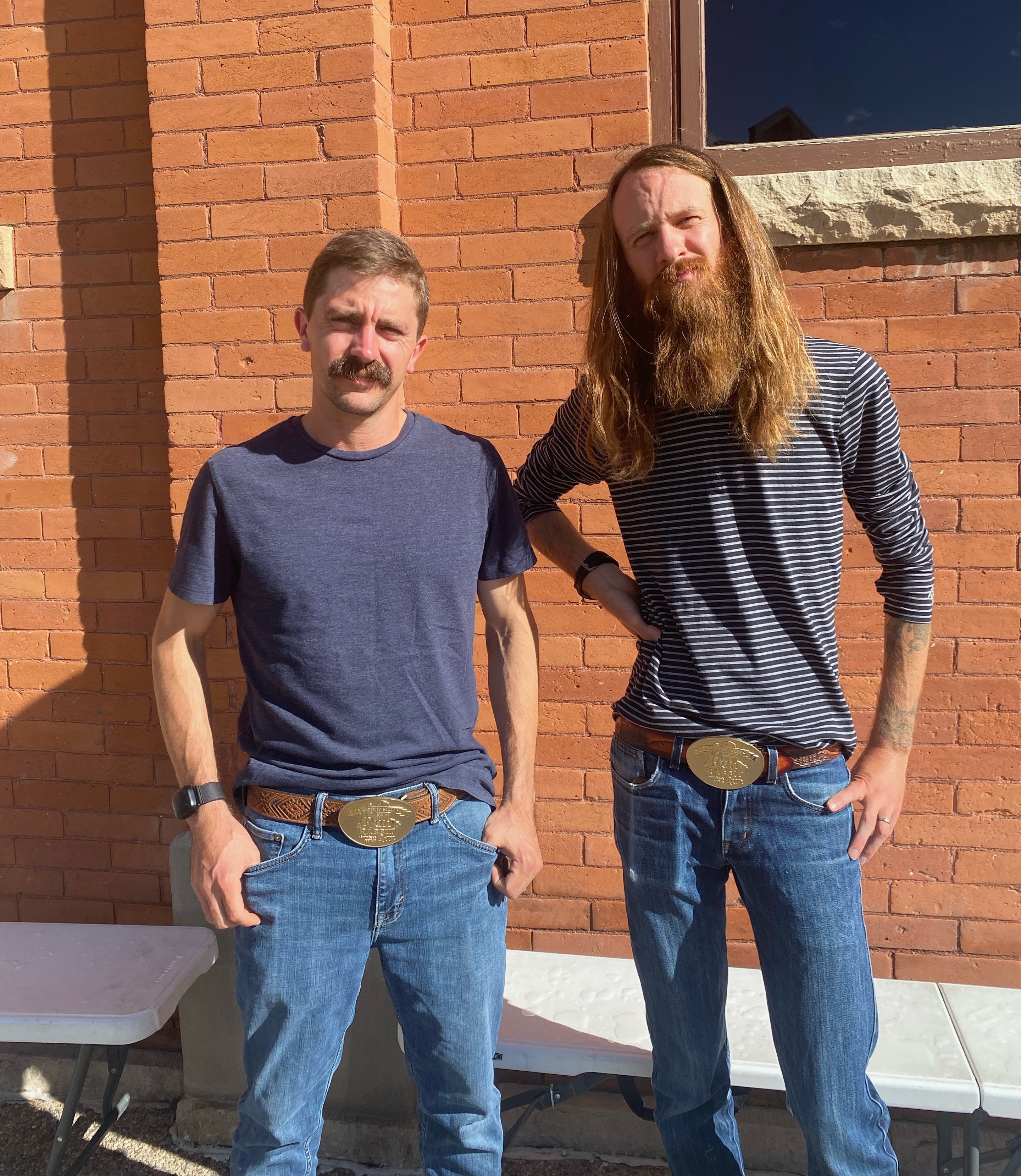
In an event where it’s common to drop out, Anthony finished as well at the more gentlemanly hour of 12:30 in the afternoon. Both runners felt strong to the end as they completed their very first 100 mile ultras. They celebrated by purchasing leather belts in town to go with their customary award belt buckles.
Sanitas is Latin for “health”. One of Boulder’s most popular urban trails, Sanitas is named for the Sanitarium that lies at its base. It was a quarry in the early twentieth century, owned by the University of Colorado. I’ve lived here over thirty years and today was the first time for me to hike it. Sort of like living in NYC and never visiting Ellis Island.
I started from the Hotel Boulderado, giving me a bit less than a mile walk along Mapleton Avenue to the trail head. Karen and I are spending the weekend downtown like tourists to celebrate our thirty-fifth anniversary. You can see the trail begins quite pedestrian. The top photo shows the length of the easy part running through Sanitas Valley. There’s a dirt, single track trail that mirrors it to the east along the Dakota Ridge.
Goat Trail
Goat Trail, pictured above, intersects part way up and leads down to a neighborhood. It looks like a good run. I hiked rather than ran because I’m not in good enough shape just now to run this grade. I could maybe run the bottom portion, but the grade doubles if not triples in steepness closer to the top. Near the very top, you have to scramble and use your hands in places.
There were runners, of course. This is Boulder. I’d need to lose twenty pounds to run the full, three-plus mile loop. I got in over five miles including the stretch along Mapleton Ave. in a little under two hours. There’s a ton of sun exposure. I recommend letting the western sun dip below the ridge in the late afternoon if you hike this in the summer. Hard to believe that a small city lies at the base of all this, just over my shoulder.
Sometimes, the trail conspires against me. It conspires with the rocks, the trees, and the water to take me out. To trip me up or even drown me. To let me know that perhaps I’m getting too old to be there.
The trail has always talked to me. I felt the presence of a wolf hiking alongside me eleven years ago on the 500 mile Colorado Trail. From that experience, I adopted my trail name, El Lobo. El Lobo was both a protective trail spirit and a guide leading me to wonderful experiences.
Hiking and backpacking has always been a tremendous experience that completely transfixes my mind to the trail. Hiking ten hour days, my eyes are focused on my footfalls while the alpine nature renews my soul. There’s an energy transfer in this ecosystem. Usually nature recharges my body. Sometimes the flow is reverse. It’s a give and take.
***
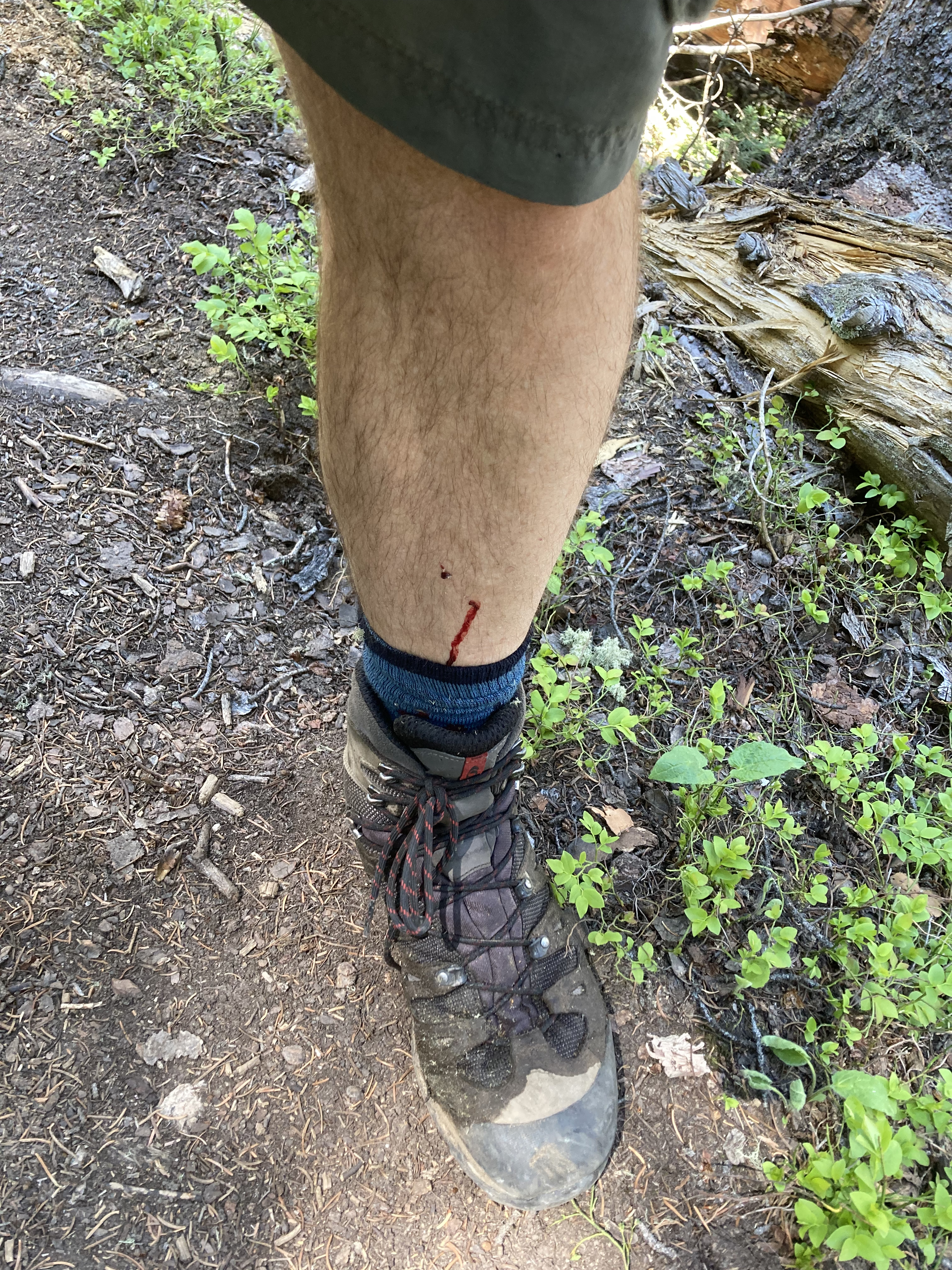
My experience in the Mount Zirkel Wilderness Area started off with my body sacrificing fragments of flesh and blood to the Wyoming Trail. My brain may have been foggy from one-too-many IPAs the night before. I awoke at 5:30 and hit the trail by 7am. I only had one cup of coffee which is a bit light for me. Within minutes, at my first creek crossing, I slipped on a rock and partially fell into the water, slamming my shin so hard into a rock that the instantly forming bruise looked like a compound fracture. I was fine though and continued onward.
Not long after, I was negotiating my way over a large tree that was blown down across the trail. I didn’t need to stand up on my feet, but I did. As I stepped off, I’d forgotten about my pack. The weight tipped me backwards and I fell blindly into some logs. A stick lodged into my calf that I only fully removed at the ER last weekend. The infection was obvious at that point. I was given seven days worth of antibiotics.
Most of my falls and scrapes were in the first two hours of hiking. I slipped in some fast-moving water later in the day, although honestly, the cold water felt good at that point. It must have looked dramatic as Rob reached out his hand to me and I grabbed it to be pulled from the dangerous torrent. Emotionally, it was just another reminder that I wasn’t physically fit enough to be out there. Good thing I don’t backpack alone.
Long story short, I found my trail legs. I was physically exhausted at the end each day and my feet were extremely sore starting out each new day, but that trek was in my wheelhouse. I did get down on myself initially out on the trail and I’m still wondering what I need to do to improve. There are physical things that went well and some that didn’t. My planks and squats paid off. My stamina throughout the entire day was weak. I can work with those things. What has me a bit psyched out is my poor balance on the trail. Some of that is strength, but some of it is age.
Researching how to stave off the loss of balance that comes with age is part of what I’ve enjoyed the last ten years as I’ve focused on fitness in my fifties. I like researching and experimenting workout-related routines. The answer is very likely to get out on the trail more. So, five days after my big backpacking trip, I hiked with Brittany and Margot in Eldorado Canyon.
Eldorado Canyon
Now that I’m in my sixties, I don’t doubt that I’ll need to moderate my hikes. I demonstrated I can still run a marathon last October, thirty-five pounds heavier and five years older than my previous marathon, if I just run slow enough. Four days on the trail might be one day too many. Certainly, bushwhacking through miles of blown-down trees is something to avoid on future hikes.
But I will return to the trail for epic adventures. I planned to hike the Maroon Bells Loop this summer but couldn’t pull it off. That will be next summer. That might be three days. The trail just gives back so much, I can’t imagine not being out there. One of my favorite experiences is drinking unfiltered water from the absolute headwaters of this nation’s rivers. Dipping my water bottle into the water running off a snowpack in the basin of a thirteen or fourteen thousand foot peak. It’s like being at the head of the line for the world’s water supply. Being out there is so special. We went two full days without seeing another soul. This is why I live in Colorado.
I try to get out for a big backpacking adventure every year or so. Big is probably an understatement, at least for this weekend’s hike through the Mount Zirkel Wilderness Area near Steamboat Springs. This hike tested my limits. The alpine meadows full of flowers alone was worth the death-defying trek across massive boulder fields, under, over and around miles of blow-down, across rushing creeks and over high mountain passes.
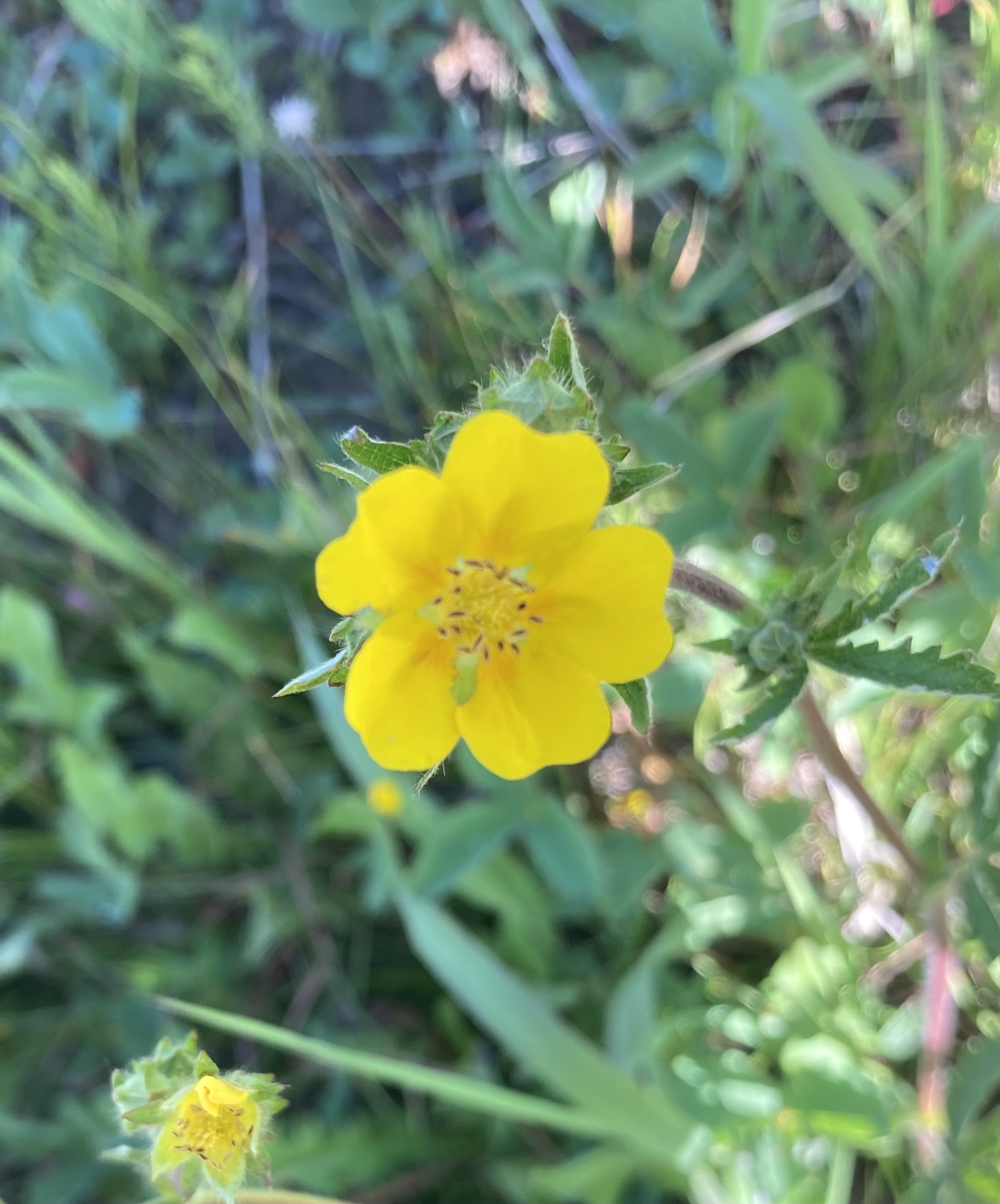
Rosaceae
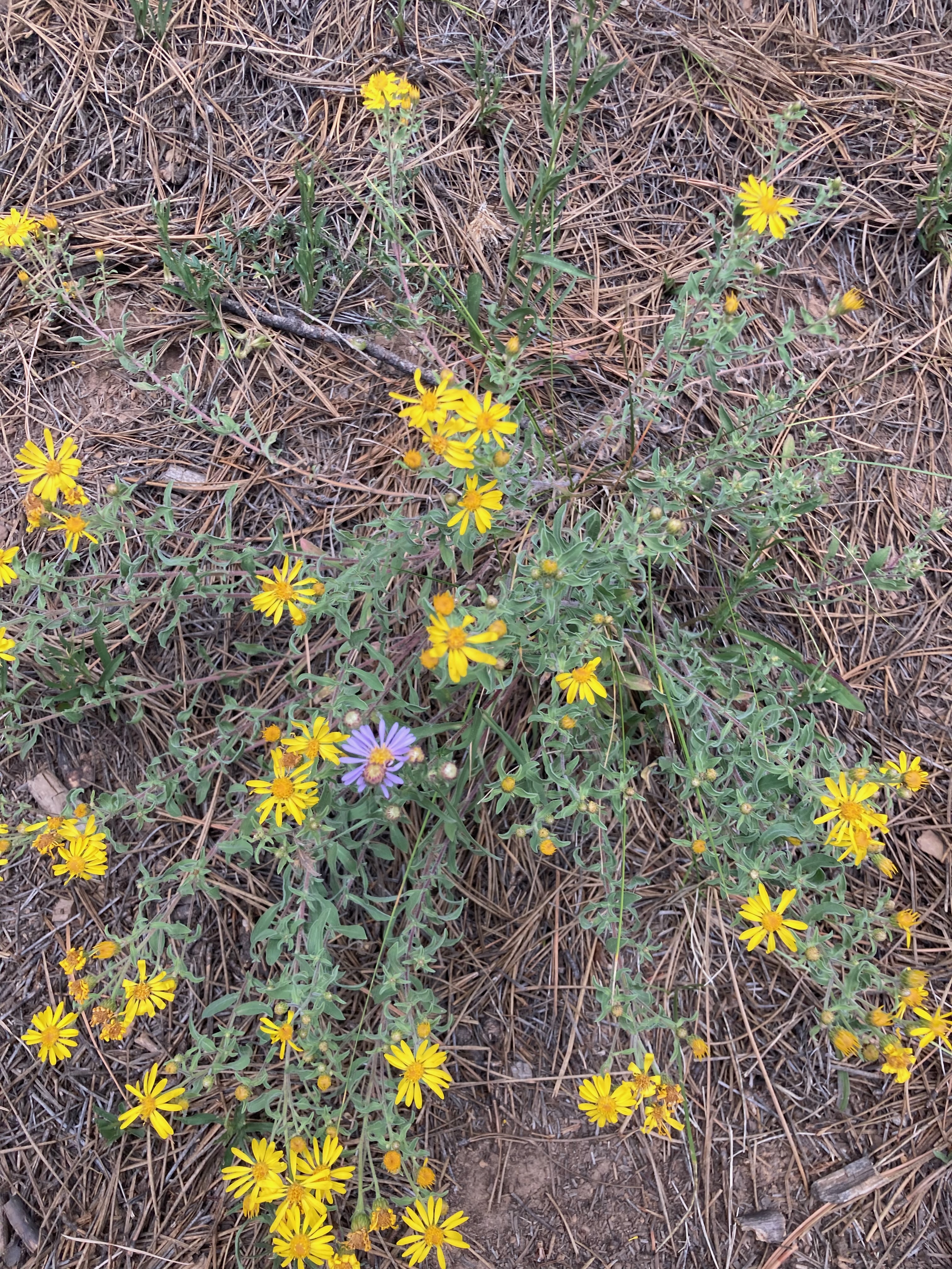
This yellow mountain rose looks very similar to the pink mountain rose I saw in Beaver Creek last weekend. There were thousands of them along the trail.
Arnica
I call this a Rocky Mountain daisy, but my plant app gives the highest confidence to a type of arnica. I think daisy’s might have more flower pedals. These were everywhere.
Silvery Lupine
I saw of lot of these lupine in Beaver Creek last weekend too. These were usually mixed in with the arnica on the trails near Steamboat.
Alpine Tundra
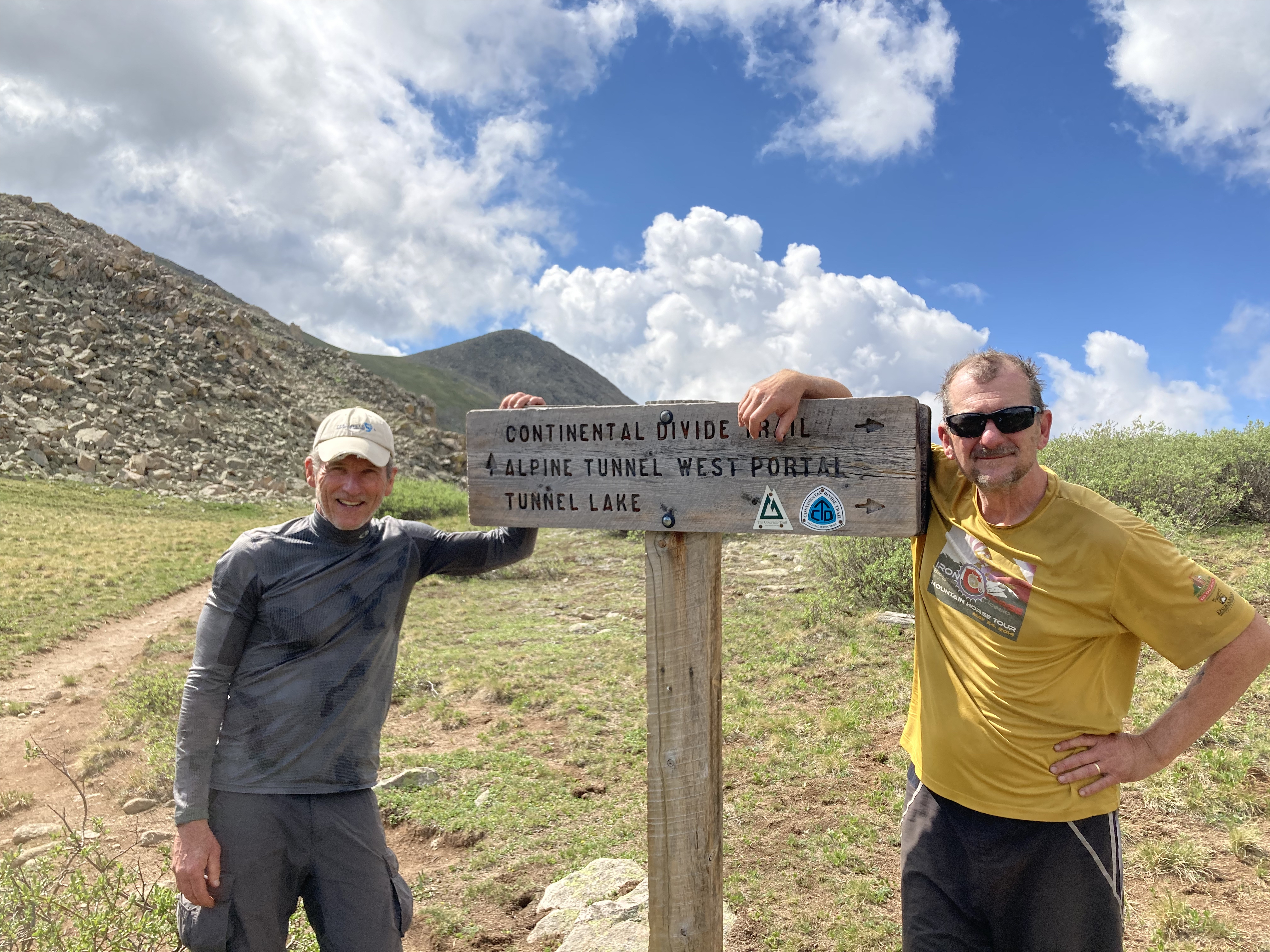
My goal this outing was to hike from the Seedhouse trailhead to the Wyoming border and back. Rather than out and back, we returned on a set of other trails that looped around Mount Zirkel. For my buddy Rob, this would complete his journey across the Continental Divide Trail (CDT) in Colorado. I’ve hiked much of it with him. Rob has also completed much of the CDT in Northern New Mexico. Wyoming might be next.
Trail Legs
Within the first two hours hiking these sixty miles around Mount Zirkel, I slipped off a rock into a creek, fell backwards off a log because I mis-judged the balance of my pack, and there was something else where I somehow avoided death that I just can’t recall right now. I spent the first couple of hours gaining my trail legs. Each fall damaged my shins to the point of not being certain I didn’t need medical attention. I still have part of a tree branch stuck under my skin on the left shin that you can’t see in this photo.
The Wyoming Trail at the Wyoming Border
The falls took their toll on my confidence. I wondered if I was too old at sixty to be attempting such physically challenging endeavors. In time, I gained my trail legs and I knew I belonged out there.
Alpine Meadow
The joy of hiking through miles of alpine meadows like above makes it worthwhile to reach these remote high country ecosystems. Normally hikers would avoid trampling on such delicate plants, but in many cases in the Mount Zirkel Wilderness, there was no trail.
Red Dirt Pass
The photo above is from our campsite after hiking across an eight mile stretch, mostly above tree line with no trail. I would not have had the skills to do this without Rob. We had to just work ourselves south toward this pass. I stared at this pass all night because I wasn’t confident my legs could endure the trek. You can’t see the boulder field in the middle of this basin, but traversing those rocks was challenging without any strength left in my legs. We worked our way up through the trees on the left, crossed some snow fields, and hiked up over the pass in between the two patches of snow on the top, far left of the photo. It took much of the morning, again with no trail. We saw no other hikers for the previous two days, until we crossed that pass.
Mount Zirkel
There were so many times during this sixty-mile, four-days of backpacking that I wasn’t sure I could complete the trip. Of course, halfway into the loop, I was as far in as I was out, and I knew how difficult the trail behind me was, so there was no turning around. My scariest moment was crossing a creek on a log raised a good ten feet over the water. Not an easy feat with a thirty-pound pack. Half way across, my legs started to shake. I have a condition, mostly in my hands and forearms, called an essential tremor. When I’m fatigued enough, the shaking hits my legs too. I knew I was going to fall into the fast-running water if I didn’t get off that log, so I started to run to the far end, about fifteen feet to the shore. It was a death-defying act for sure and I probably shouldn’t be here to tell the story, but it gets better. Sitting on the far side was the ranger, older than me by a good ten years, who’d recently built the log bridge. He said, “This one was high enough that it shouldn’t get washed away.”
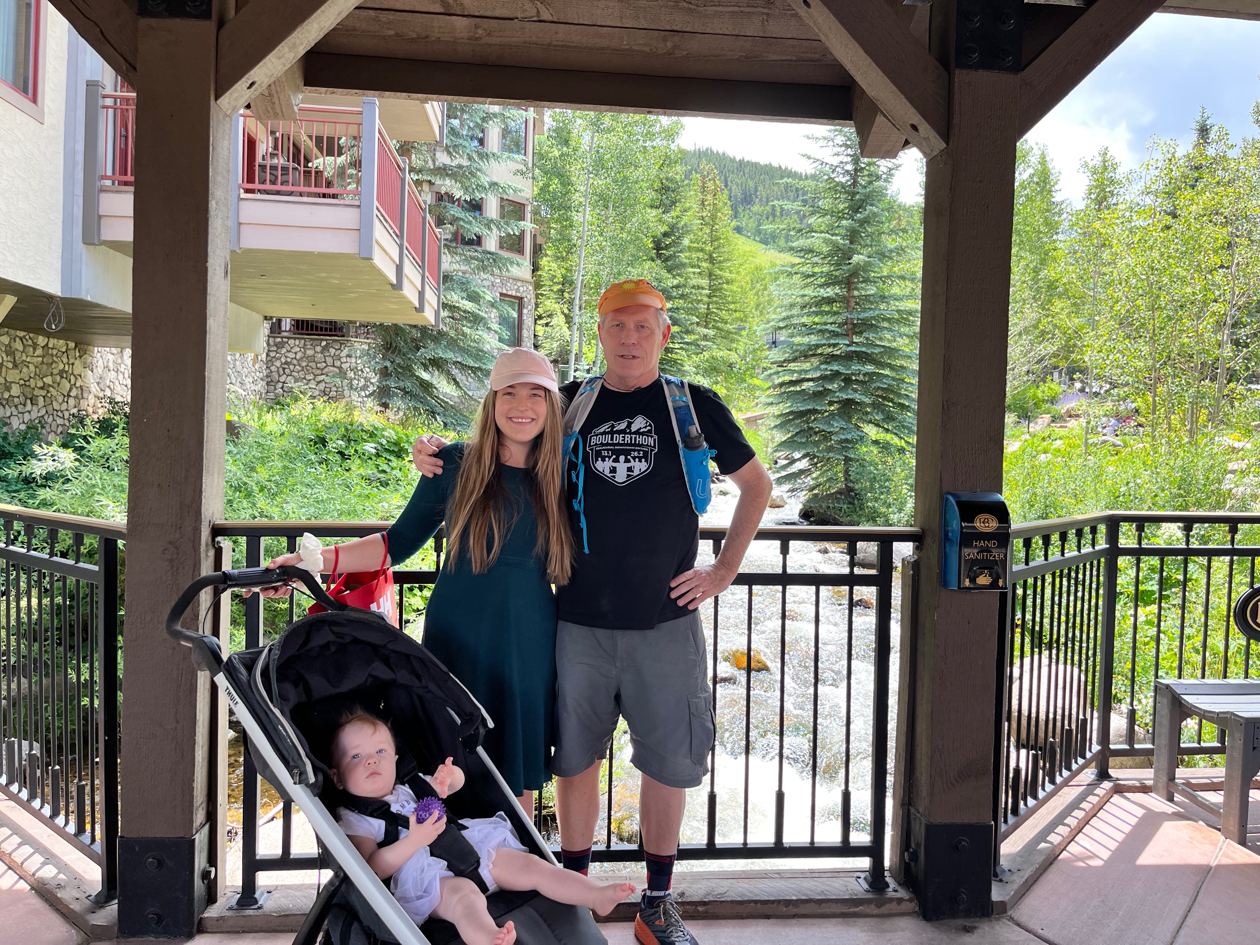
Eric, Brit and Ellie all joined me for a hike today. That makes three two-hour hikes in three days. At altitude. Good training for next week’s sixty mile backpacking adventure along the Continental Divide Trail. Those will be ten hour days with a thirty-five pound pack, so probably not a great comparison, but good prep nonetheless.
Karen watched Margot so both Eric and Brit could hike together. She said Margot had a nice nap but woke up crabby. Karen earned her grandma stripes while we all enjoyed a post-hike lunch on a restaurant patio.
Although I was focused on hiking the last three days for the workout, being able to hike with my kids made it super special. I’ve always been happy that my girls are athletic and like the outdoors. They are more artsy and intellectual than I ever was, but they can hike a 14er any day of the week. They got those other attributes from their mother, but I’ll take some credit for the sporty contribution.
Brit ran a half marathon recently as part of working off her pregnancy weight. And Ellie and I made plans to start hiking weekends up near Golden. Those are my girls.
I struggled to keep up with Eric, he’s a competitive ultra runner, on the seventeen hundred feet of elevation up to Beaver Lake, while the girls took a slower pace – taking pictures. They’re sporty, but not that sporty.
Ellie woke up early enough to join me on the trail this morning. We chose the Village-to-Village Trail, a six mile jaunt from Beaver Creek to Bachelor Gulch. It began with the same climb as yesterday’s hike along the Beaver Lake Trail, then veered right after a mile or so and mostly side-hilled over to the Ritz Carlton.
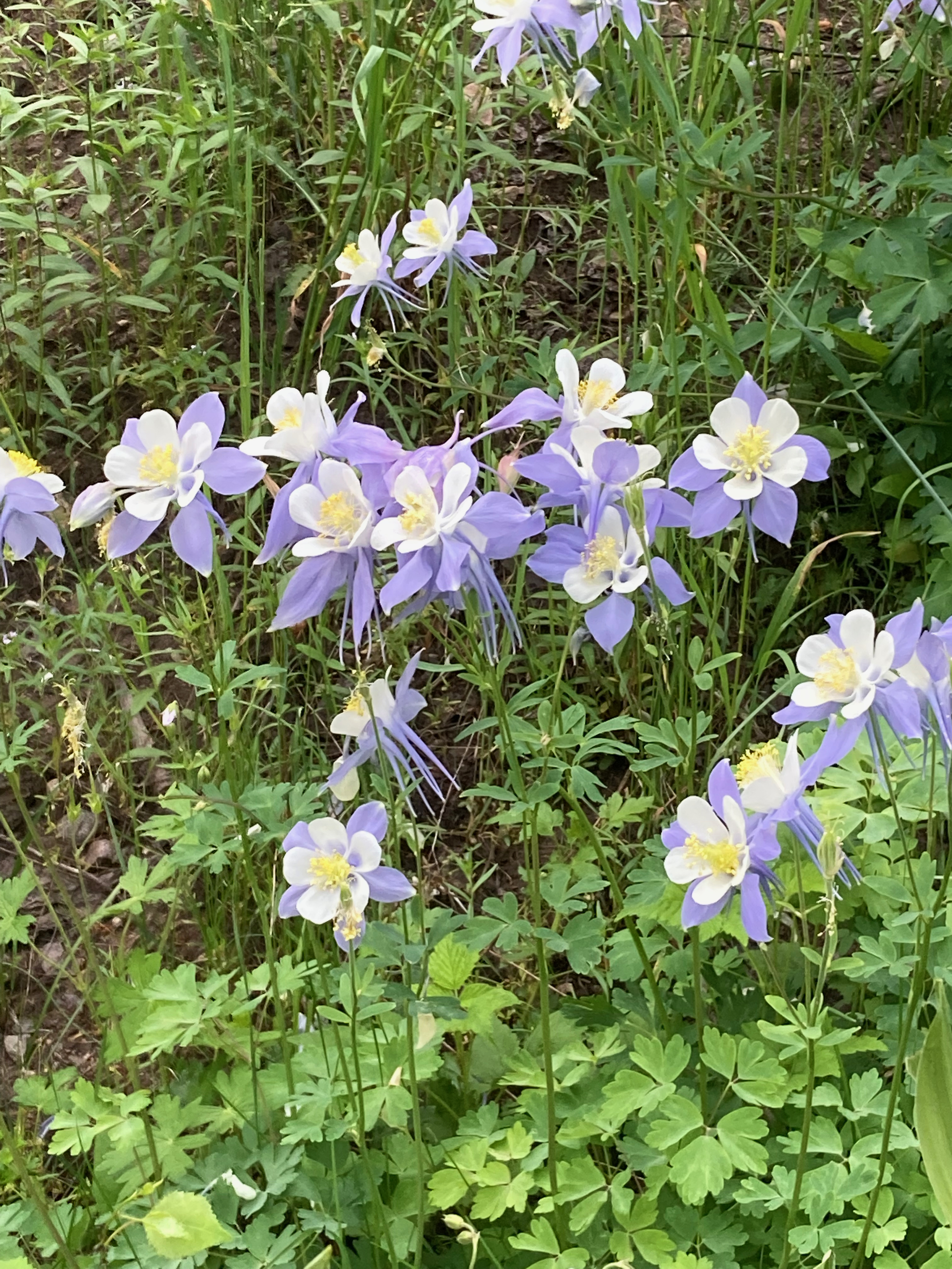
The views were of aspen and wild flowers. We identified some of them.
The white flower above is Wild Strawberry, the parent plant of most cultivated strawberries.
We thought this looked like a rose when we came upon it, and sure enough, my PlantNet app identified it as Wood’s Rose.
Larkspur was also pervasive along the trail, along with alpine daisies.
Eric will join us this afternoon. Meanwhile, the girls are walking around Vail while I babysit Margot again.
My first hike of the holiday weekend was seven miles out and back to Beaver Lake. It was uphill the entire route out, but not steep until the final half mile.
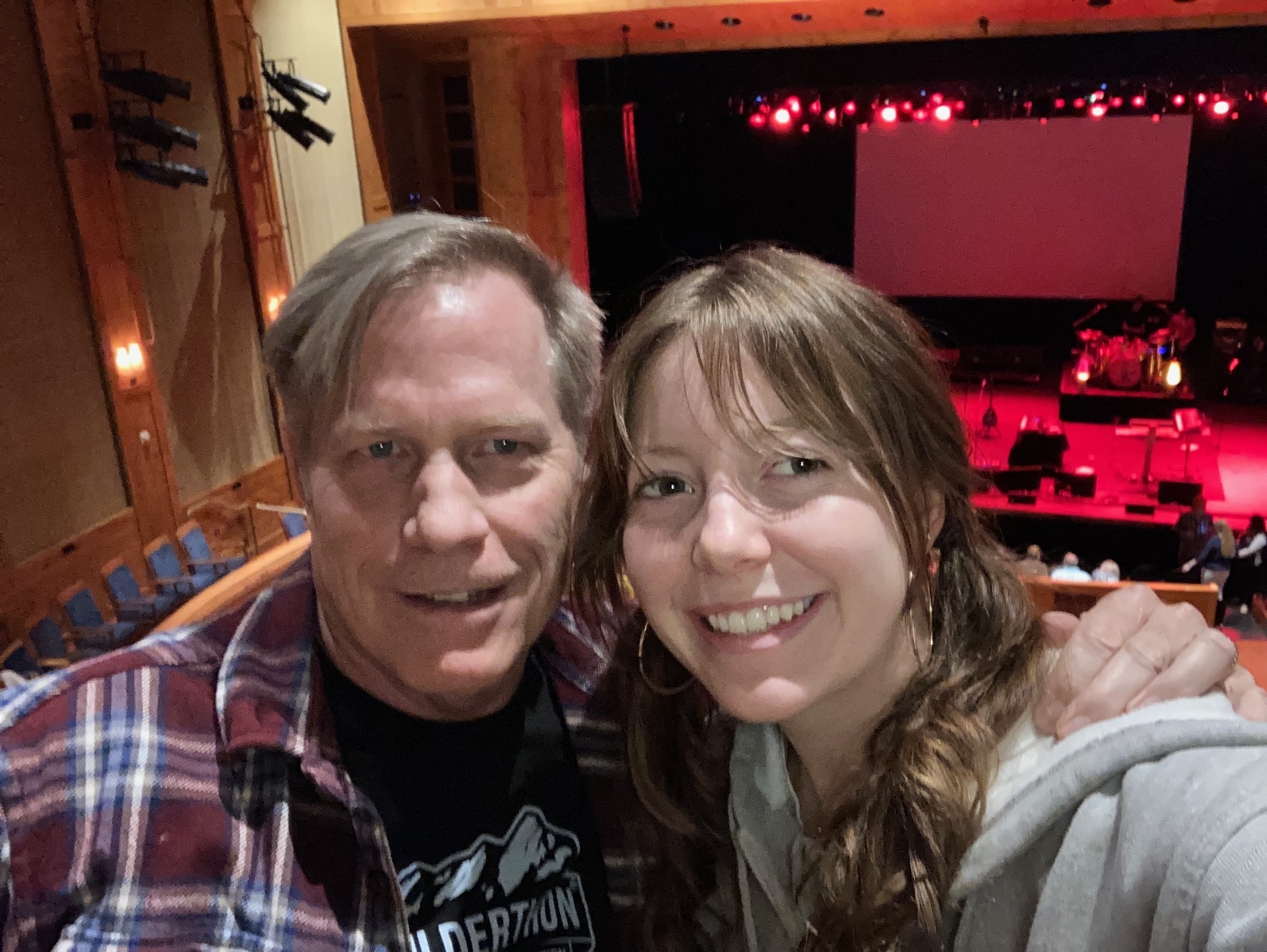
Ellie should have hiked it with me but we stayed up late going to a concert the night before. John Fogerty played all his CCR classics and never stopped rockin’ from start to finish. He’s 77 but jumped around onstage more than Cheap Trick’s Rick Nielsen ever did in his prime.
So I hiked it solo after a donut for breakfast. Afterward, I found myself sitting all sweaty on the Beaver Creek Chop House patio, eating a beefy burger and quaffing down a Vail Brewing IPA. The Chop House was just off the trailhead. You have to love the convenience of resorts.
I met up with the girls after lunch. I strolled Margo around while they shopped for dresses.
The girls left me with Margot while they strolled around town some more. I hear her waking up from her nap, so time for me to go.
We couldn’t start at the trailhead to the Aspenglen Deer Mountain Loop trail. The camping road was still closed for the season. So we parked about fifty yards down from the Fall River ranger booth in a wideout and walked down the campsite road until it came to the trail, just past the bridge over Fall River. That was today, on a windless morning.
Colorado is deep into spring break mode this weekend. We figured the crowds at ski resorts would be bigger this year, so Karen booked us into a lodge on Fall River Road, one mile before the ranger booth. Estes Park is asleep compared to the ski resorts. We can hear the Fall River running outside our window. The sound is of peace and bliss.
I expect to hike the same trail tomorrow. We’ll steer right on the loop instead of the left we took today. And we’ll aim to hike further. Then, we will pause for lunch before ending the afternoon with pedicures. I’m a gentleman hiker.
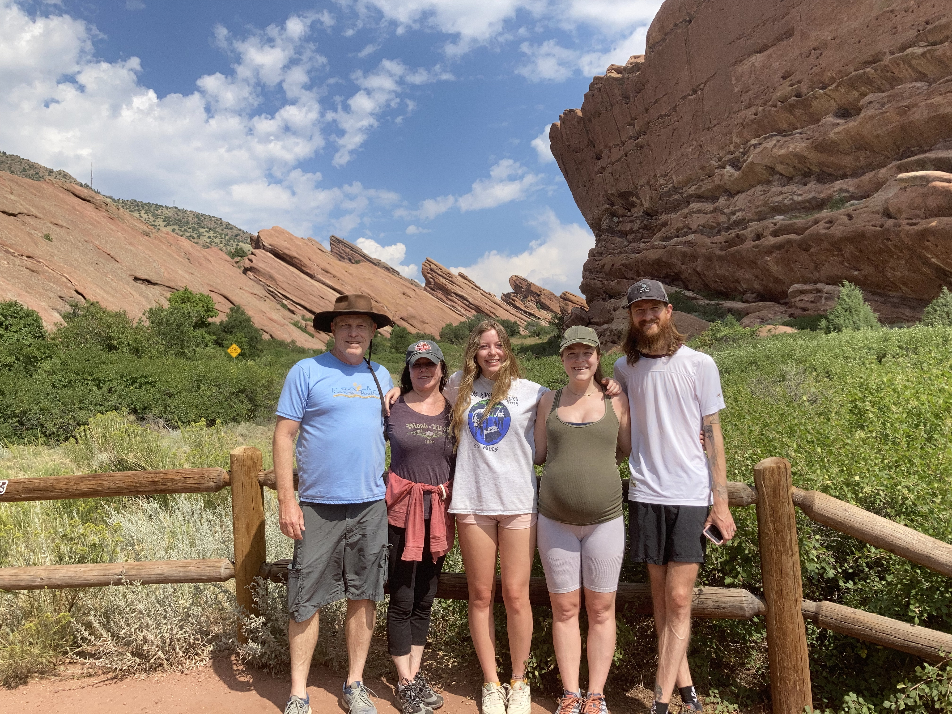
The family that hikes together, in my experience, brunches together. Which is what we did today. It’s never occurred to me to hike Red Rocks before, the trails aren’t exposed at night when I’ve gone there for concerts. But Red Rocks has an extensive, family-friendly trail system.
Ellie’s sorority house is only a ten minute drive away, so we picked her up and met Brit and Eric at the Trading Post trailhead. The Trading Post trail is a 1.5 mile loop around spectacular red rock formations. Very little shade so consider wearing a hat.
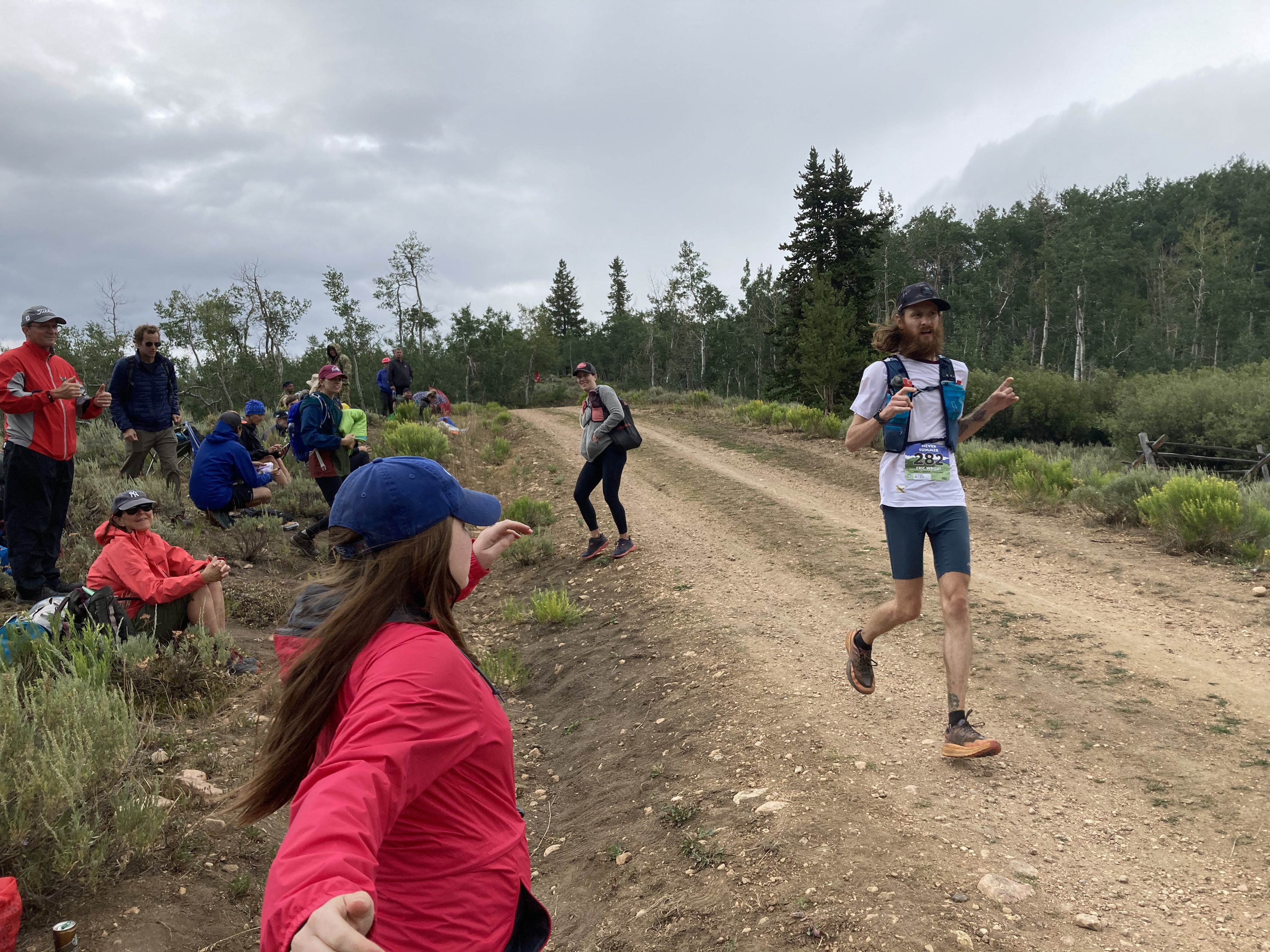
The Never Summer mountain range in northern Colorado contains seven named peaks. At 5:30am Saturday morning, my son-in-law Eric would run around and over many of them as part of a 100K (64 mile) trail ultra.
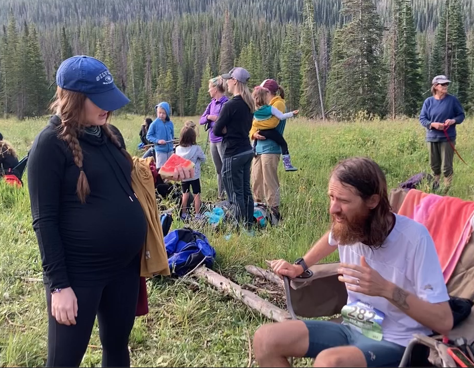
Brit and I served as Eric’s race crew, hiking a mile or so into four of the eight aid stations to change his socks and negotiate with him to consume calories. You might notice here that Brit is thirty-four weeks pregnant. She had some of the elite ultra runners calling her out for being such a badass.
Brit discovered at our first aid station, Diamond, that she would have to forcefully negotiate with Eric, to make him consume the needed calories. A runner burns about 100 calories per mile, meaning Eric would need to replace over 6000 calories in this race.
Eric eventually acquiesced and ate about 50 calories worth of watermelon. Not a win for Brit exactly, but watermelon contains a ton of potassium.
Above is a pic of Brit and me returning from the Ruby aid station, the near-halfway mark for Eric at thirty miles. He appeared to have recovered from his early calorie deficit, while Brit and I were gaining efficiencies at hauling gear and tending to his needs. We would hike eight to ten miles before the day was over. The western monsoonal weather was dramatic enough to reroute our drive up to the Never Summer range through Wyoming and trap us there for the weekend with all exits shut down once we’d arrived. The clouds in the photo above were a constant backdrop but Saturday was mostly dry for the ultra.
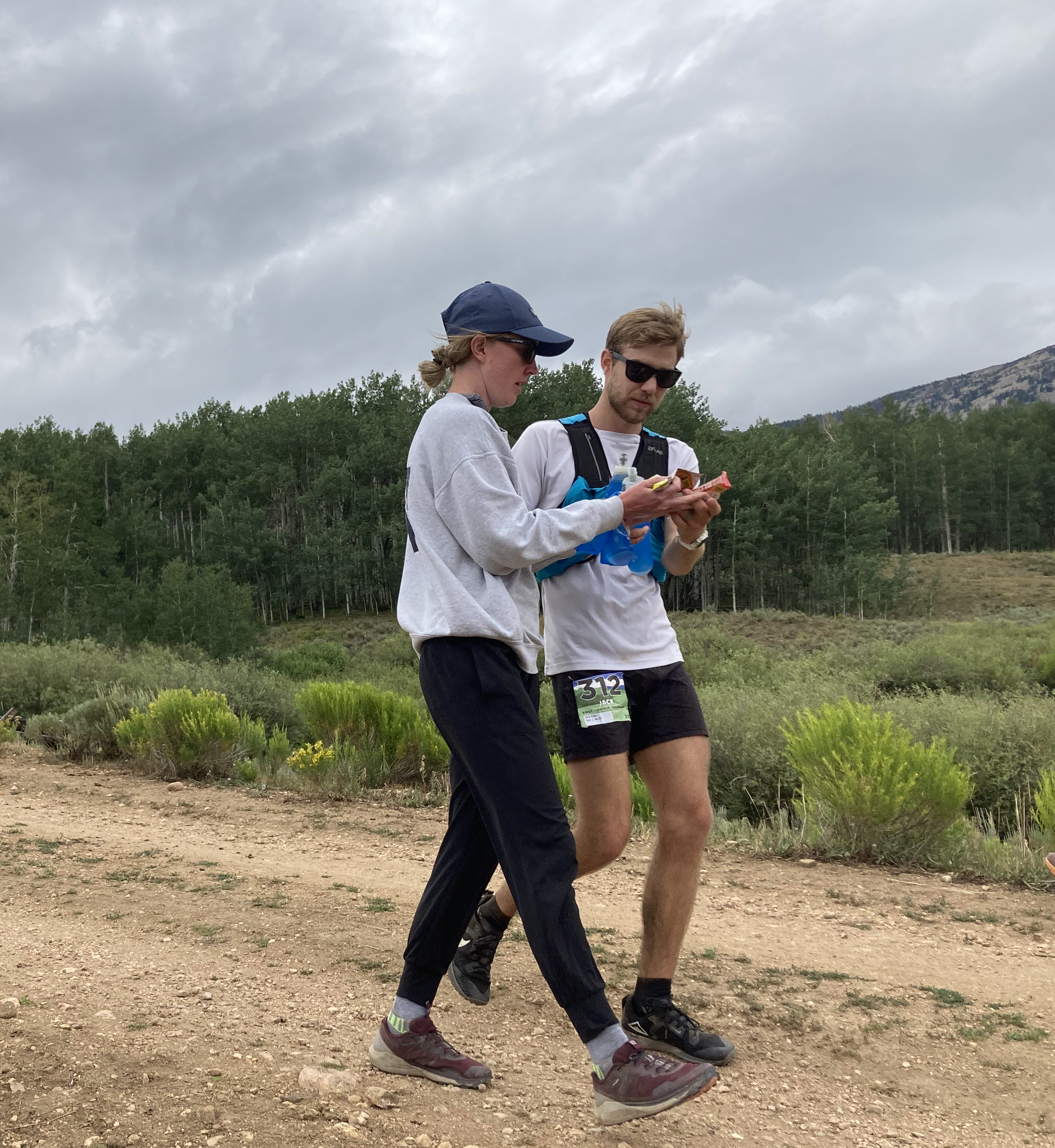
Brit made friends with Kiersten who crewed her husband Jack. Pictured here at the Canadian aid station where he was in third with fourteen miles to go, Jack ultimately finished second overall.
Finishing fourth overall was the first place woman, Addie Bracy, pictured above. Author of Mental Training for Ultrarunning, Addie is always a top contender in the Western States 100. She lives in Brit’s Denver neighborhood around Sloans Lake.
This was a typical aid station scene for me and Brit – sitting center in the orange puff jacket. The temperature dropped about thirty degrees during the time we waited for Eric at this Canadian aid station in the early afternoon.
After sitting for a good three hours, Brit launched from her chair to crew Eric. He told her that he nearly DNF’d at Clear Lake, but opted instead to replenish calories at an aid station. He felt better after a half hour of walking and arrived to the Canadian aid station full of confidence that he would finish. At this point, in 19th place, he had another fourteen miles to run.
Five miles later, Eric surprised us by arriving early to the Bockman aid station and in seventeenth place.
After Bockman, our job crewing at aid stations was over. We waited at the finish for Eric to complete his final eight and a half miles. If you’re curious why this Colorado mountain range is named “Never Summer”, consider how bundled up Brit is in her camping chair on July 31st.
We didn’t have long to wait as Eric finished strong after over 14 hours of running his first 100K ultra.
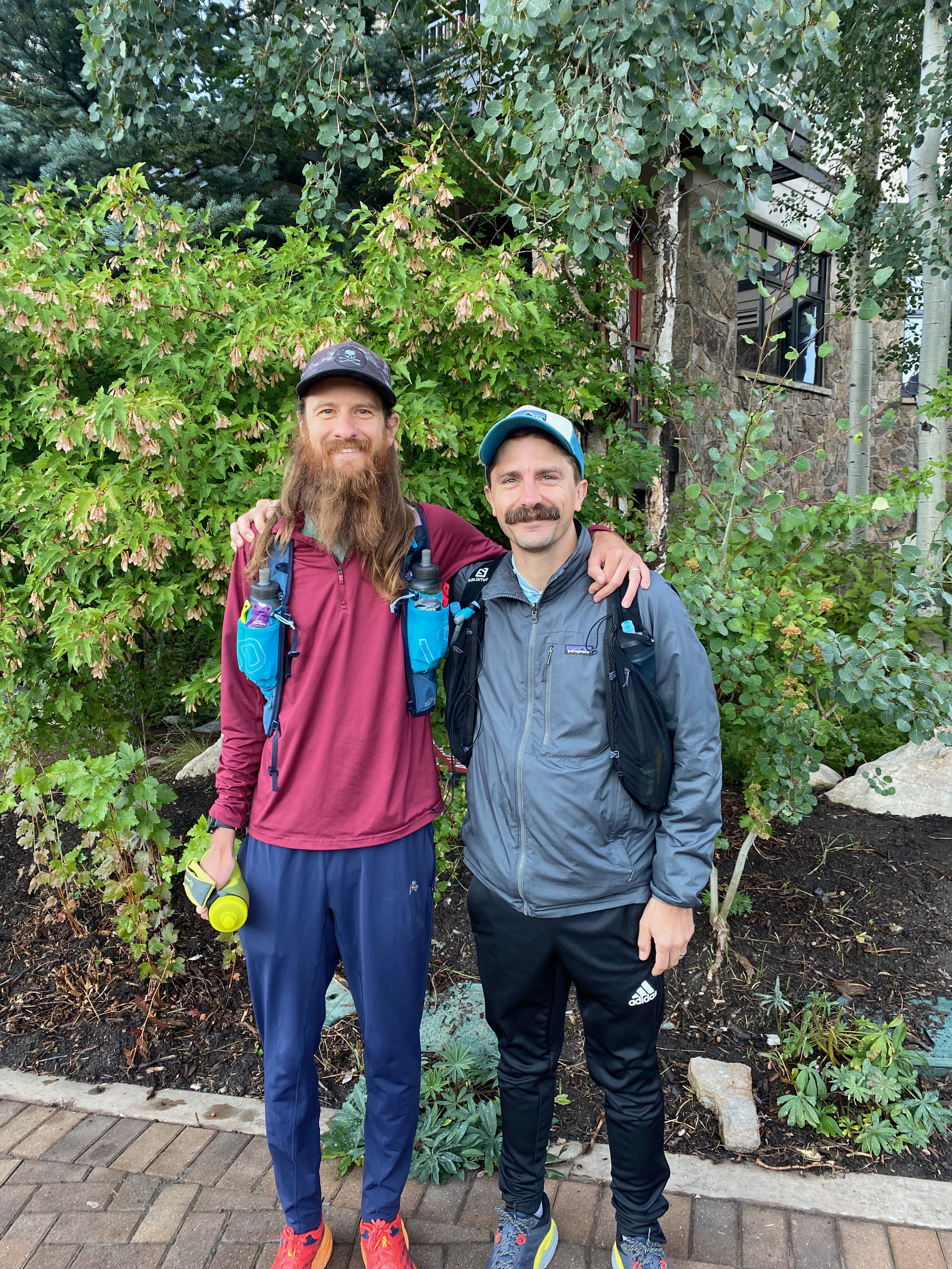
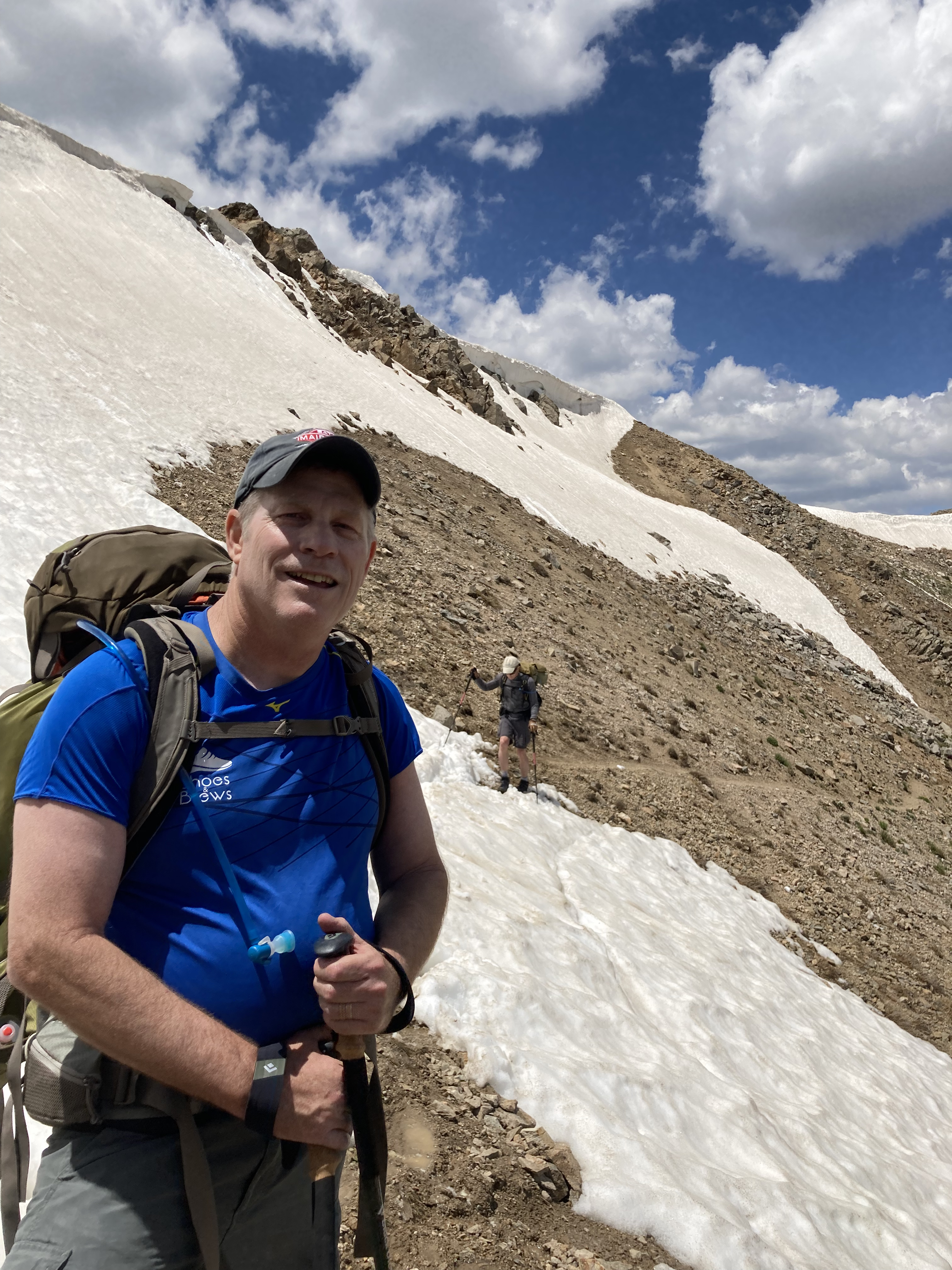
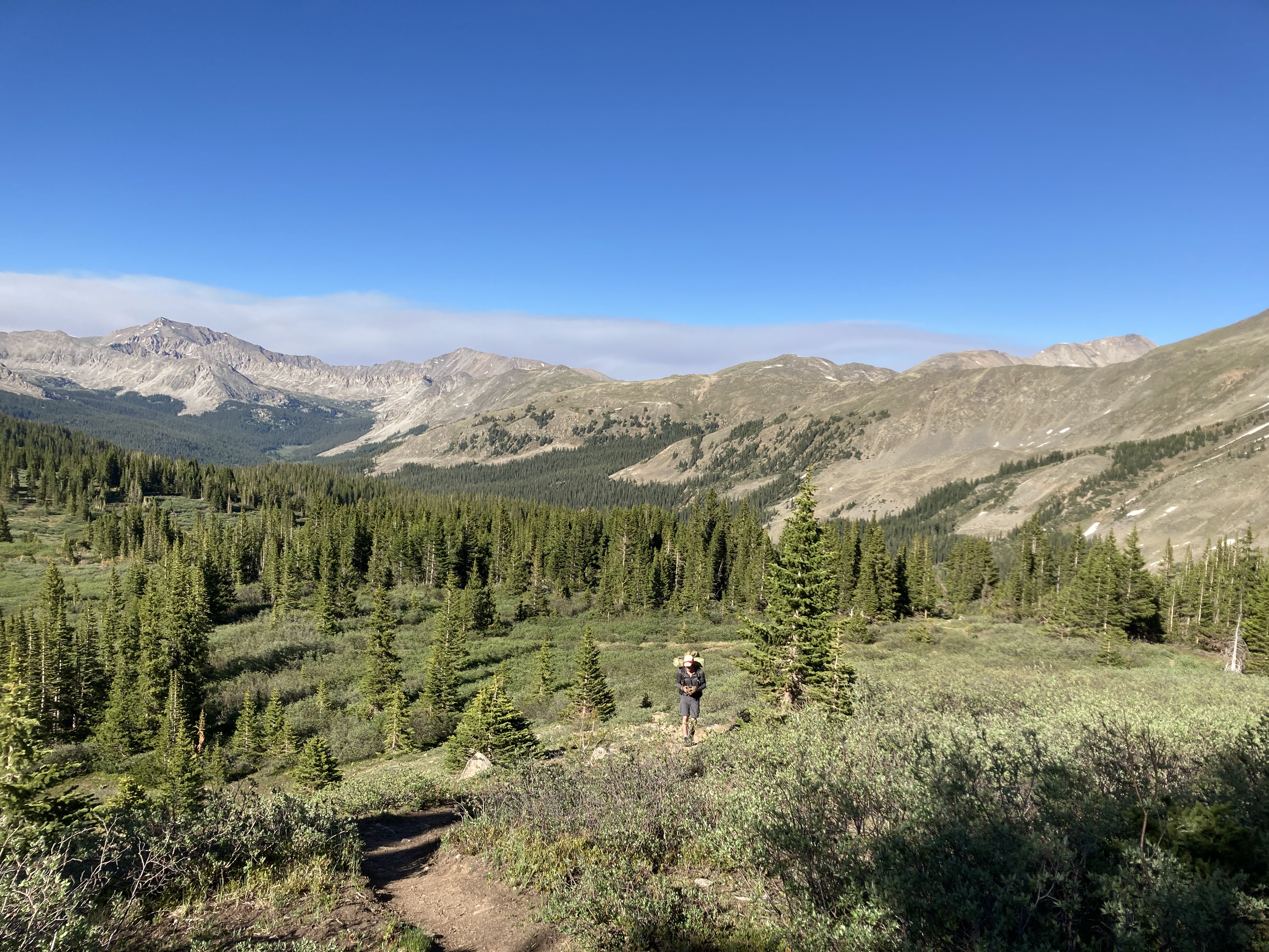
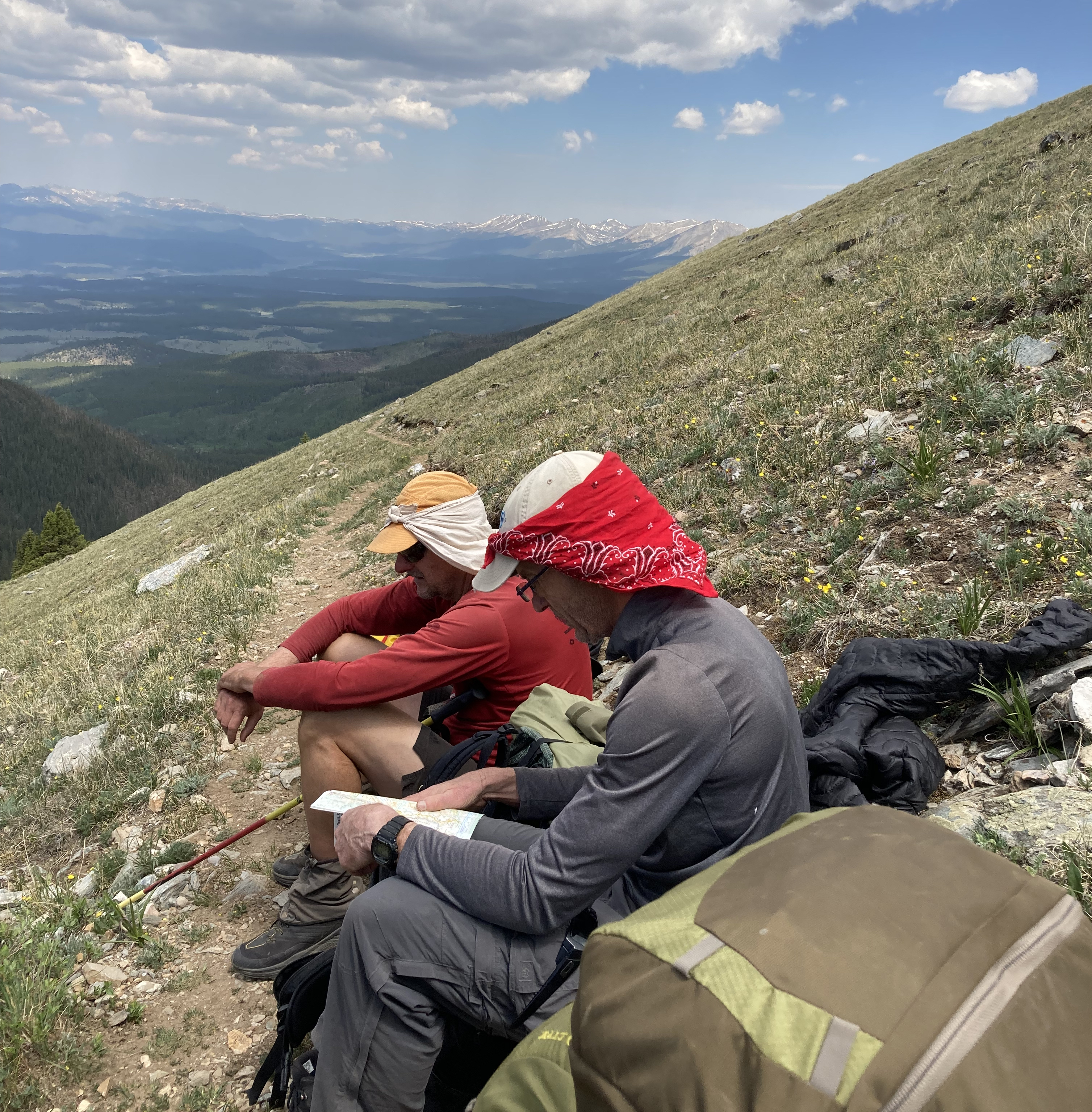
I spent the week backpacking from the ghost town of Winfield to the Hancock Pass Trailhead. Fifty, high-altitude miles along the Continental Divide Trail that broke me down to the basics and renewed my soul. I’m tempted to begin by saying that I was nowhere near fit enough for this trek, but I made it so apparently I was. The physical effort in hauling a forty-pound pack up and down thousands of alpine vertical feet was as purifying for my soul as were the unending views of heaven. Imagine walking through hell with a view of heaven that squelches the heat of the fires. That was my experience, backpacking southbound through the Collegiates on the CDT. As indicated by the trail signs, this section of the CDT is joined by the western loop of the Colorado Trail.
I set out with two buddies. George, pictured here, and Rob, who has through-hiked the PCT and AT and served as our uber-experienced trail guide. Outside of hiking, we belong to a writers’ group, submitting monthly short stories to a blog on the deep web. Much of our talk was on storylines. One of my goals was to refocus on my third novel. George, Rob and trail all contributed to advancing my novel’s outline.
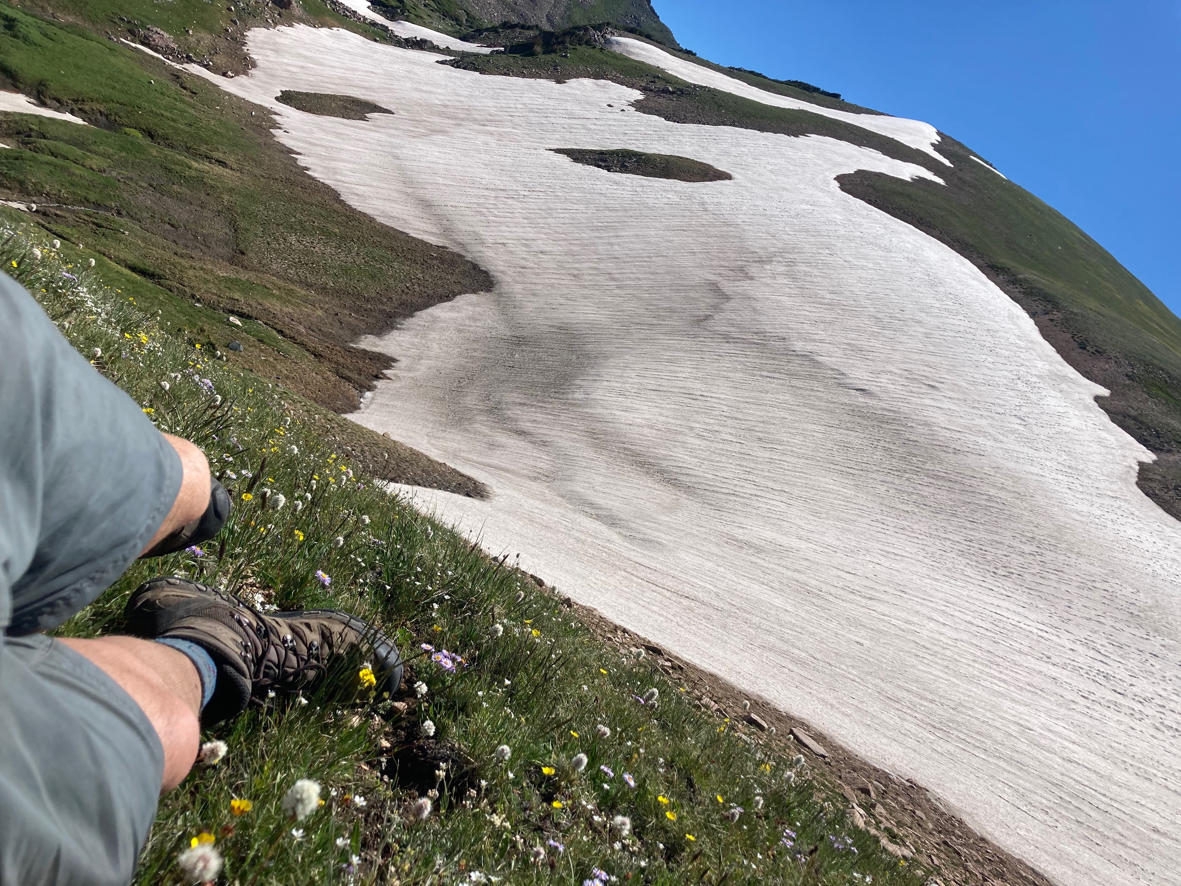
From our Winfield campsite at 10,226 feet, we marched 6.5 miles to summit Lake Ann Pass, a two thousand foot climb to 12,590 feet. This was difficult for me and perhaps the hardest effort of our six days on the trail. I knew this climb would give me a sense of my ability to survive the full excursion. I was thinking of the physical stress of carrying a forty-pound pack at high-altitude though. I didn’t consider the technical challenges. There is still heavy snow on the north side of Lake Ann Pass. Rob determined through early scouting that we would not require ice axes, but trekking poles and perhaps micro-spikes were advisable.
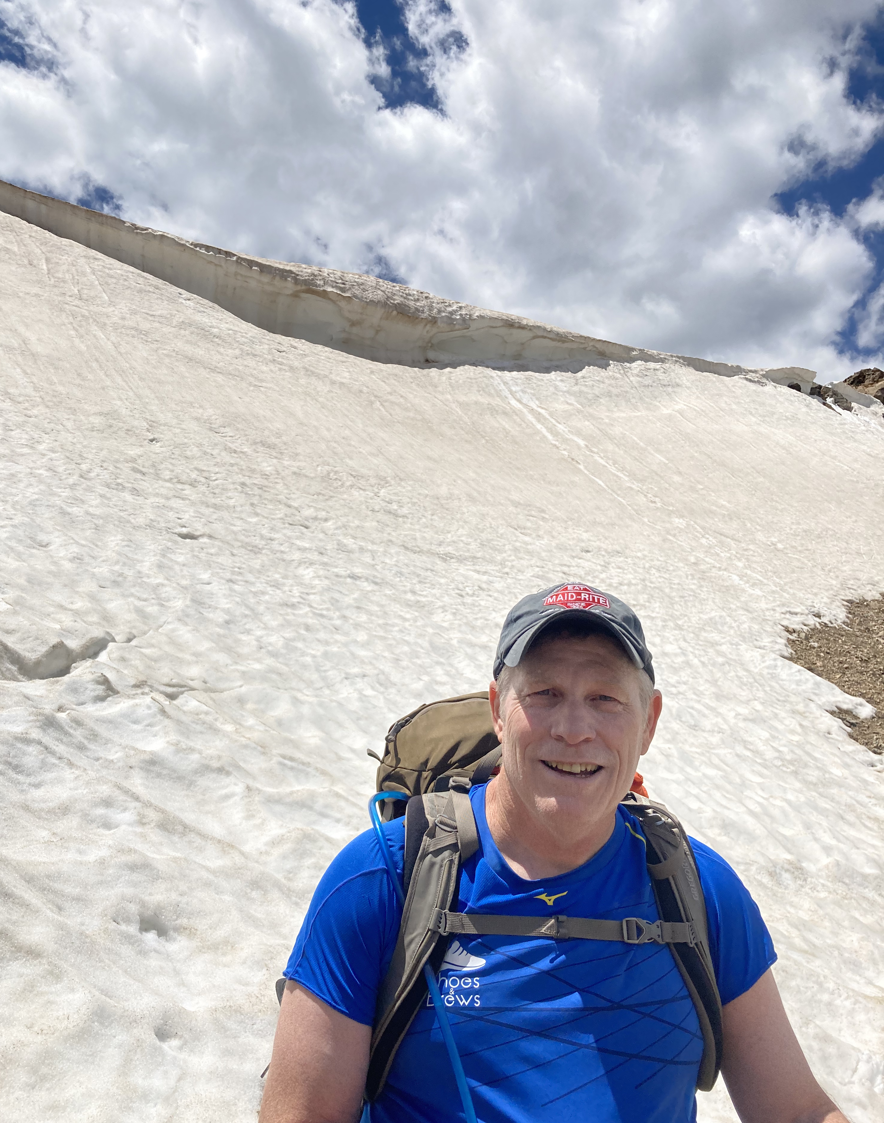
The cornice in this photo above is the pass. The snow was soft enough that micro-spikes were not needed. My challenge was a stretch of quicksand-like sludge that I nearly drowned in. I tried to crawl through the gravel, full of snowmelt, and failed miserably. Each step induced a rock slide that threatened to carry me down the mountain. I was trying to reach some stable rocks but was so exhausted from trying to swim through this mix of rock and water that I didn’t have the strength to stand back up once reaching them. I then turned my head to find the trail and determined I could possibly make the snow patch on the far side of the quicksand with a strong, one-hop leap. That hop wouldn’t provide any traction on the flowing rock, but I’d have to trust my momentum. Learning to trust my momentum would become an important tool over the next several days of obstacles. My leap landed me on solid snow and I made it to the top of the pass, where Rob was patiently waiting. That’s Lake Ann below him and Mount Huron in the background.
I knew the rest of the day would be downhill and I now had some trail confidence. I didn’t know if my body could take a second day, but I knew the subsequent downhill was in my wheelhouse. As would become our pattern, we took a substantial break at the top of the pass to recover our strength. That’s Taylor Park Reservoir in the background below. Our path was to cross the valley toward the left of this photo, across the Illinois and Texas Creeks.
After eleven miles and ten hours, we ended the night camping on the Illinois Creek. There was no campfire and I’m not sure I made it to nightfall. I was happy with my PackitGourmet dehydrated camp dinner. Highly recommended.
I was concerned about my ability to recover for day two, but I woke up fresh and ready to continue our hike. Our pattern was to wake up at 5:30 am and hit the trail by 7. I think it helped my legs that we didn’t have any big climbs until later in the day when we finished on Cottonwood Pass.
George crossing Texas Creek
I discovered on day two that since beginning this hike, I’d had zero thoughts on work. I wasn’t even counting the days, let alone thinking about returning back to a normal life. Vacation days are always good but this trail was the perfect remedy for a past year and a half of what I believe had been the most stressful of my life. I’m sure it was difficult for many people with Covid-19, but mine had other life events that had me at the bottom of the emotional scale.
The act of hiking a trail like this is so involved. My entire mind was focused 100% on my footfalls. It was hard to daydream. Planting each foot in front of the other was almost like playing a mindless video game. I put some thought into moving my Cyan story forward. It’s a mystery and I thought up how I’ll have my heroine interview suspects and add depth to the characters. But mostly I was just watching my footfalls for ten hours each day. The trail was like a mind eraser, like hitting the reset button on life. I’m ready now for what comes next.
The trail did take its toll on my legs. On my entire body. I was never fully confident the first two days that I could finish. I’d suggested we park one of our cars at the half way point on Cottonwood Pass. Doing so would allow us to carry less supplies, resulting in a lighter pack, but it would also mean more time shuffling cars between trailheads. I was voted down, so I was committed.
Ample rest after long stretches and big climbs is what saved me. We developed a pattern of taking a couple of long breaks during the day. Naptime essentially. Usually with awesome views.
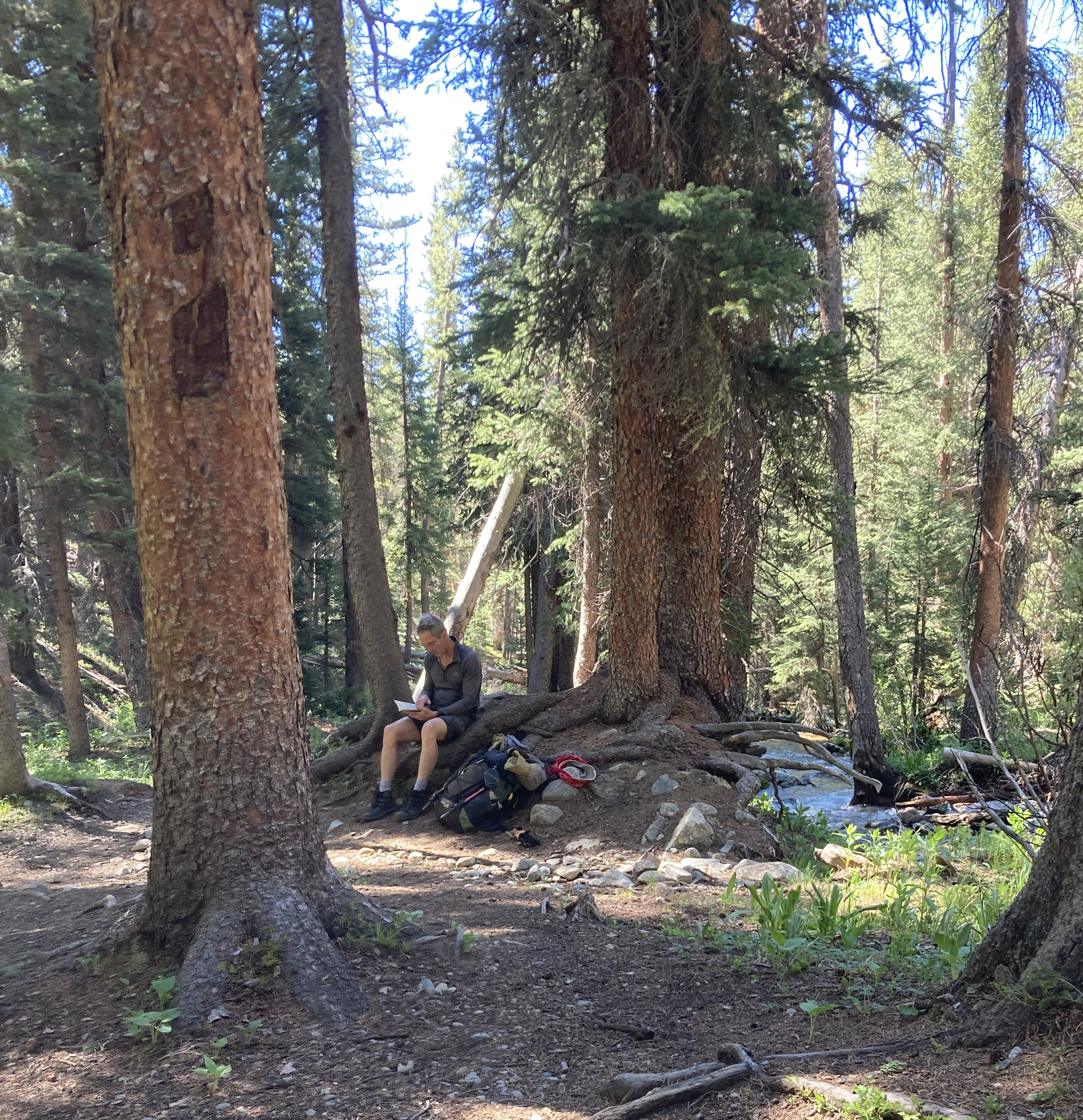
I would see George often updating his trip notes, or reading.
I think Rob was often praying that we didn’t die on his watch.
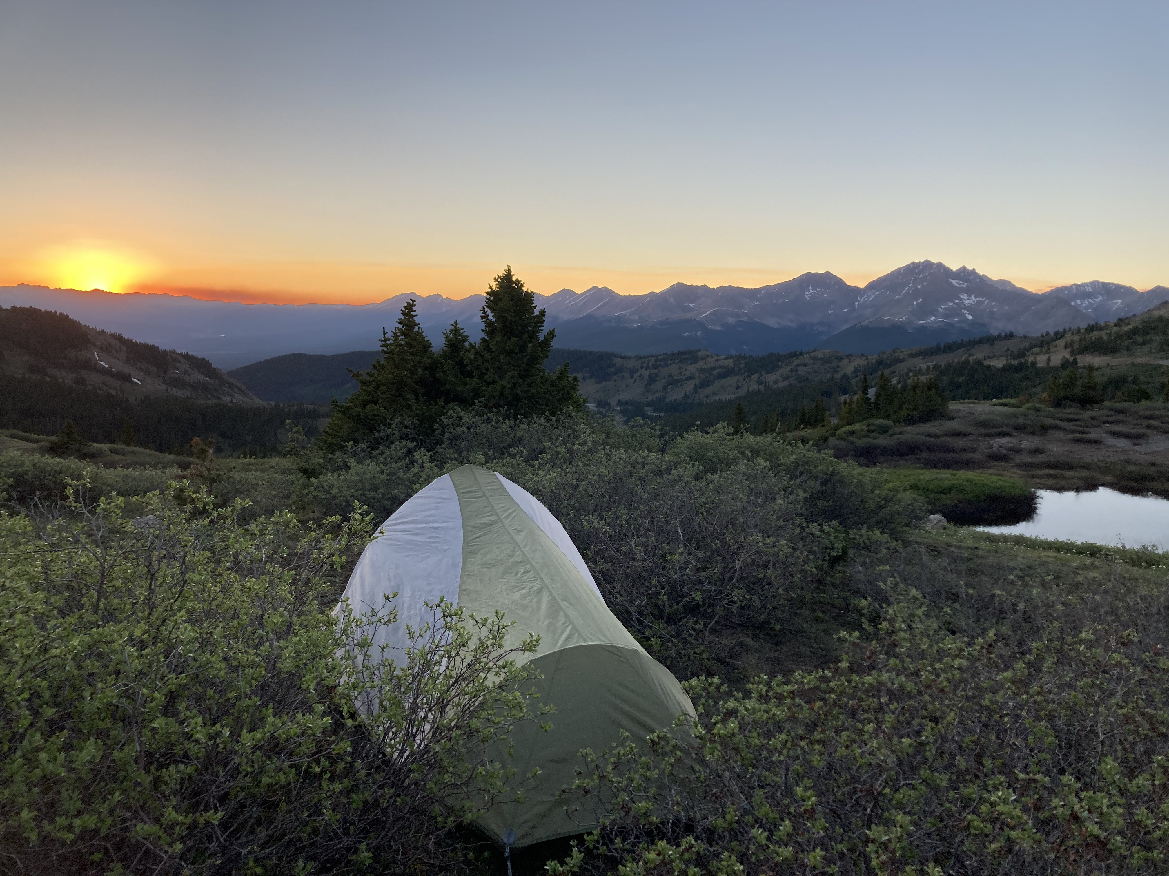
We camped after our second day on the trail on Cottonwood Pass. George was too tired for dinner and missed this sunset that his tent was pitched perfectly to view.
I found day three to be the toughest. We were now hiking above tree line for most of the day. The trail was gorgeous, interweaving us from pass to saddle to pass, offering views of new basins that could only be viewed by backpacking into the remote forest of the Collegiates.
Trudging through snow fields was always exhausting. I suspect my biggest issue was that, even when in better shape, I don’t do well above 12,000 feet. And we were almost always above 12,000 feet. I get mild altitude sickness, light-headed and nauseated.
Rob was in his element though. Backpacking in these conditions is hard. The climbs at altitude for 10-hour days fatigue the body. Hiking food generally sucks. And the ground makes for a hard bed. But Rob was born to be on the trail.
I could also see how George found solace in the mountains. Sitting on the earth at a spot you could only backpack to and taking in the vistas brings peace to any soul who will venture.
George took on the responsibility of team map reader. He kept us to about ten miles per day, but more importantly, he targeted campsites that appeared to offer water and a flat spot for our tents. Early in the season yet, we found ample flowing water, even above tree line. In many cases, we drank directly from the headwaters, with snow melt bubbling up from the rocks like God’s water springs.
I don’t know that the fourth day ever dropped below tree line. We took generous breaks to rest and I turned my photo-taking to the views during those hiking intermissions.
Above, I laid among alpine flowers at 12,000 feet. And below, a bit closer to tree line, more of the same.
Sitting in high-mountain meadows was so amazing. I felt as if I could hear the wind blow through each tree. I would see the tree tops move first, then hear the wind, followed by feeling the cool breeze hit my dry, hot skin. I sensed how the mountain forests filtered the carbon from the planet’s air.
George found us another perfect camping site with comfortable ground and flowing water near Tincup Pass. We expected to reach our trailhead destination the next day.
George led us through the final mountain meadows and passes to Hancock Pass Trailhead.
Finishing the trail a day early, we spent yet another day climbing Mount Yale. I was too dizzy at 14,000 feet that I rested on the saddle while George and Rob scurried up the pile of rocks that formed the peak. A storm blew in with hard sleet, blinding us during our descent. Maybe the worst weather we had the entire week. We encountered several ladies running this trail, leaving me in awe with their form as they bounded the rocks like ballerinas. Just when you think you’ve accomplished something amazing, someone else comes by making it look easy.
But it wasn’t easy. It was so satisfyingly hard. Those mountains and the trail cleansed my soul unlike any vacation I’ve ever taken before. My button has been reset and I’m ready for what comes next.
I don’t sell enough books to brag about, but every now and then, I get something like this. Would have been nice as an Amazon review, but I received it via LinkedIn of all places.
***
Good morning,
I just finished your second book. Brilliant work, both of them. I am retiring from the Army this week, and have appreciated the motivation you’ve given me. I ran electronic warfare teams, among other things. And I really appreciated the references in your second book.
I am transitioning from intelligence work to cyber. This fall I even start graduate work at Brown in cybersecurity. It’s been daunting changing fields when I didn’t plan for it. But my body can’t take kicking doors anymore. Your books gave me a feeling, especially from ‘Rob’, that my chances are good for landing on my feet. So thank you for the good books, and thank you for the confidence they instilled.
Keep writing, you are great at it.
Corbett
***
That made me feel pretty good. It’s been a week of feeling good. I’m counting down to an epic backpacking trip along the Continental Divide Trail through the Collegiates in another week. My buddies and I have been exchanging emails on possible routes and gear choices all month. Each email gets me more excited. Seriously, we’ve been salivating over our dehydrated camp meal selections. Maybe its the Covid cabin fever but I was near manic as I inventoried my trail gear.
Wish I was in better shape for this trek but, assuming I survive it, I’ll be in better shape afterward. I’ll be struggling to keep up with my trail mates. Rob is a fitness coach at Fort Lewis College in Durango. He even teaches a course on hiking. He hikes over one hundred days each year. Rob tends to get naked and swim in alpine lakes. This pic of him wading into the waters above tree line on Snow Mesa near Lake City gives you a sense of just how fit he is.
I might be able to hang closer to George, since he’s coming up from Austin and won’t be acclimated to the altitude. This photo of his dying carcass from the last time I hiked with him, on top of Greys Peak, is what gives me confidence. Still, I know he’s as fit today as he was forty years ago in the Marines. These sexagenarian beefcakes might find themselves having to wait for the young 59 year old.
Ellie and I spent Memorial weekend moving her out of her apartment, cleaning said apartment, and moving her into her sorority house as she attends summer school at Mines. Sounds like work but it was nice quality time with my daughter. Her front porch has a nice view of the intramural fields and campus. This photo looks north up the valley toward Boulder.
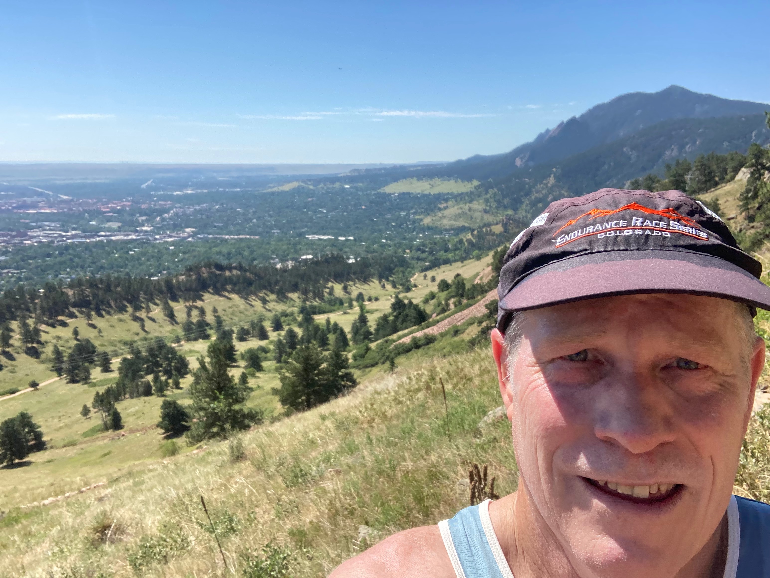
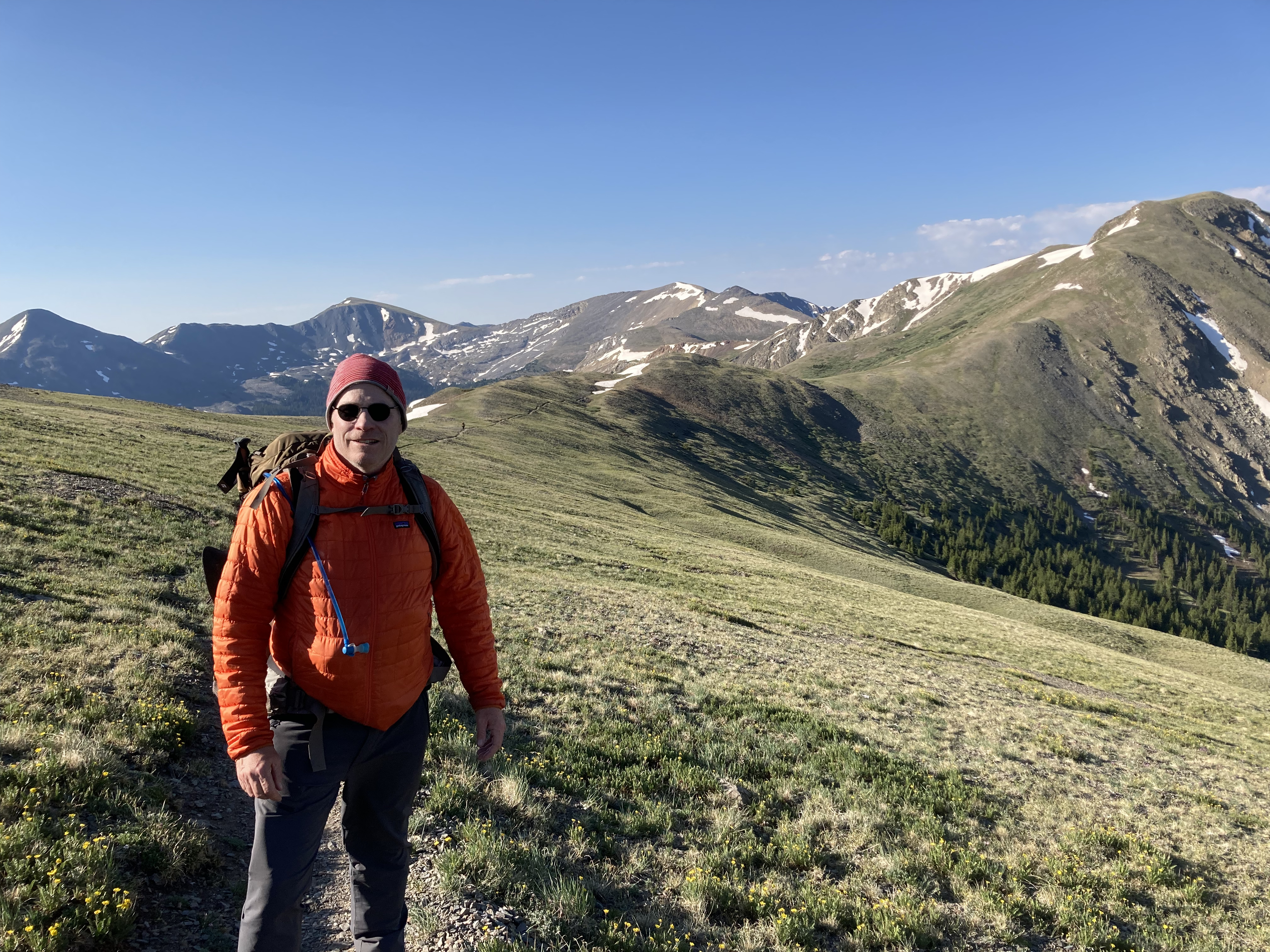
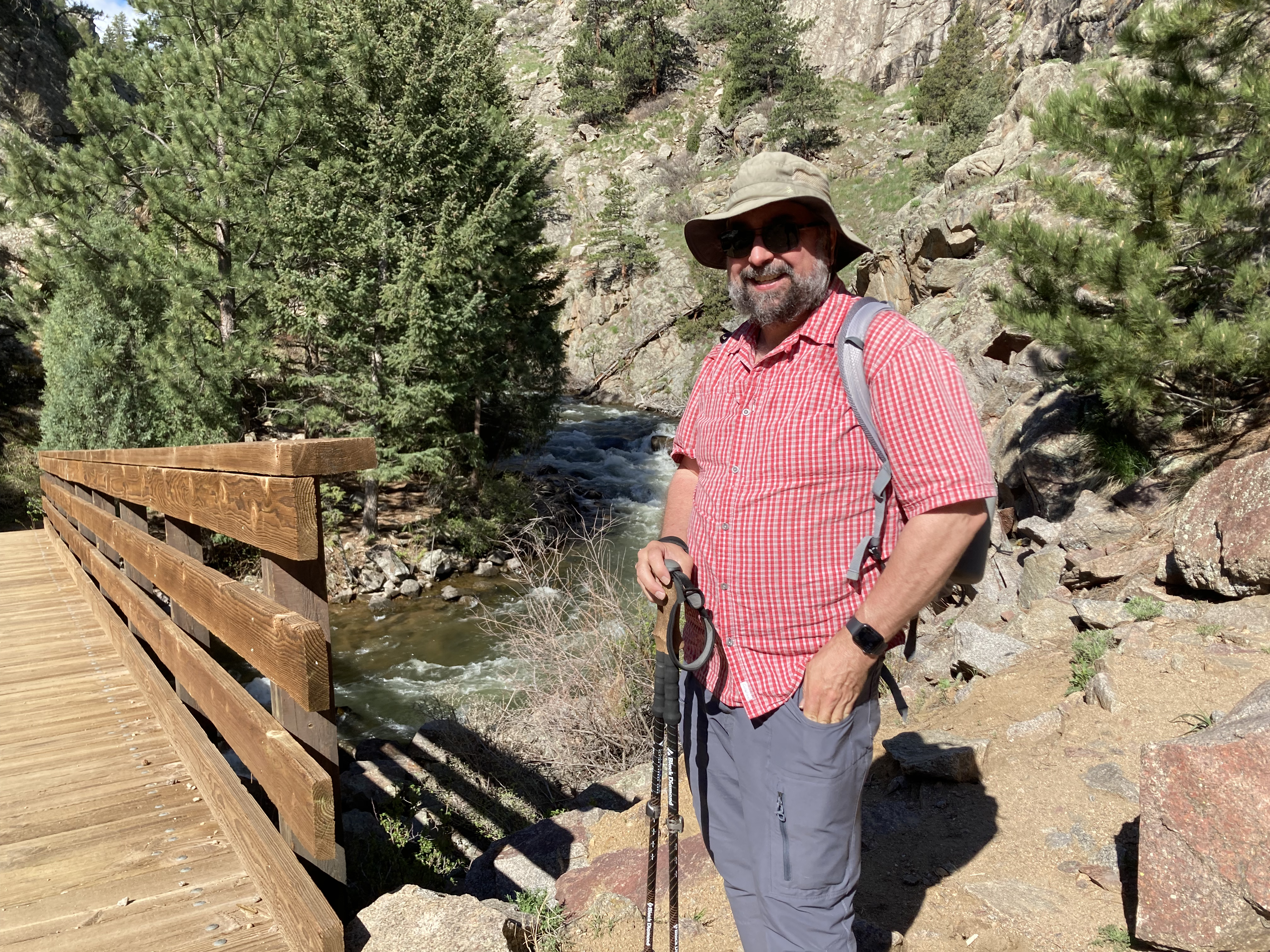
This weekend, Todd and I returned to our trails behind the Flat Irons that overlook Boulder Valley. We got lucky with cloud cover shielding us from this weekend’s intense heat.
The Eldorado Canyon Trail is a couple miles shorter than the Walker Ranch Loop, but steeper and more challenging. We hiked it to where it connects with the Walker Ranch Loop, to a bridge where we took similar photos two weeks ago.
You should know that you need a Colorado StateParkpass, day pass or annual pass, to park at the Eldorado Canyon TH and to hike the area trails.
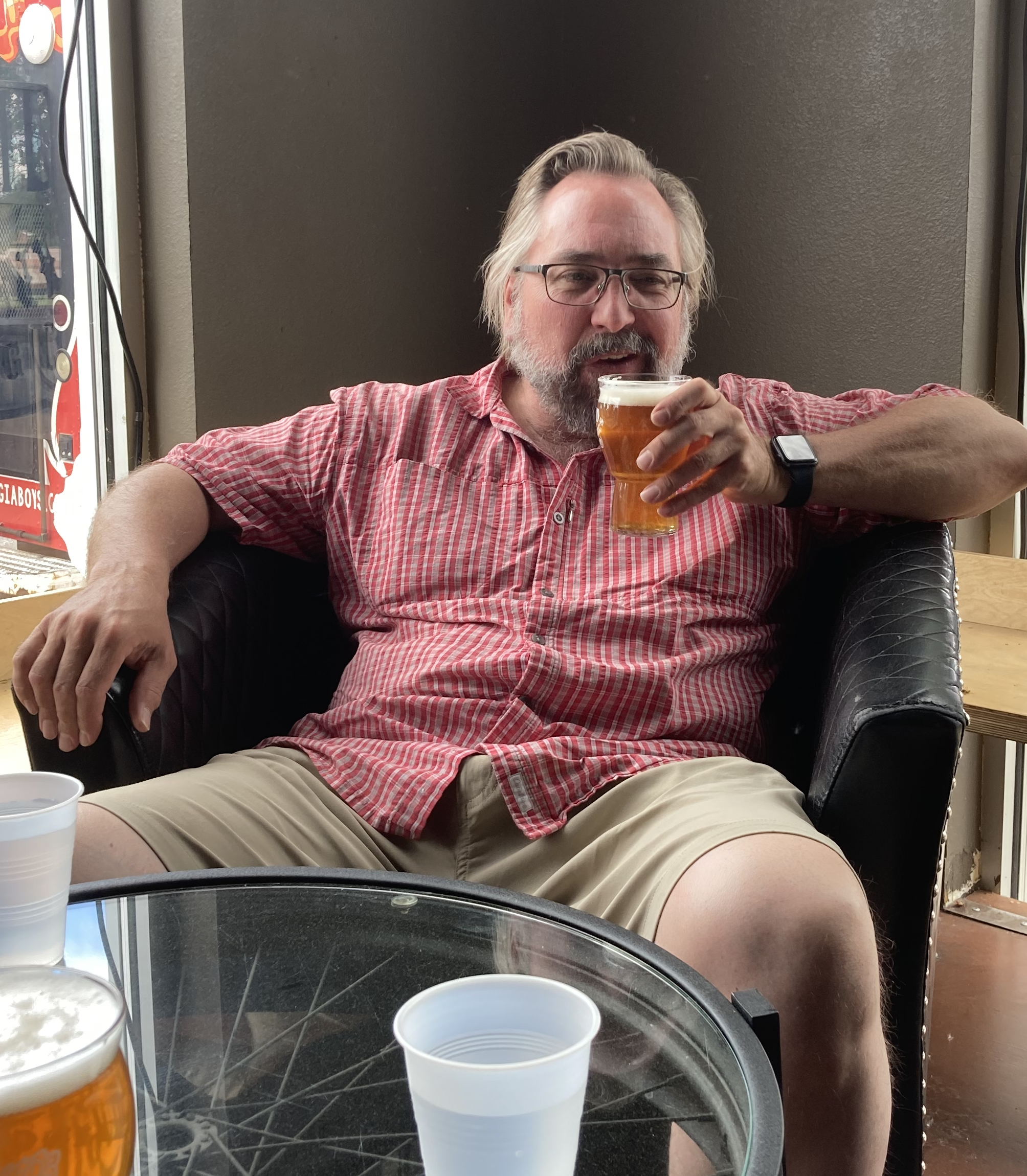
Similar to our previous hike, we cooled off afterward with refreshments from a nearby brewpub.
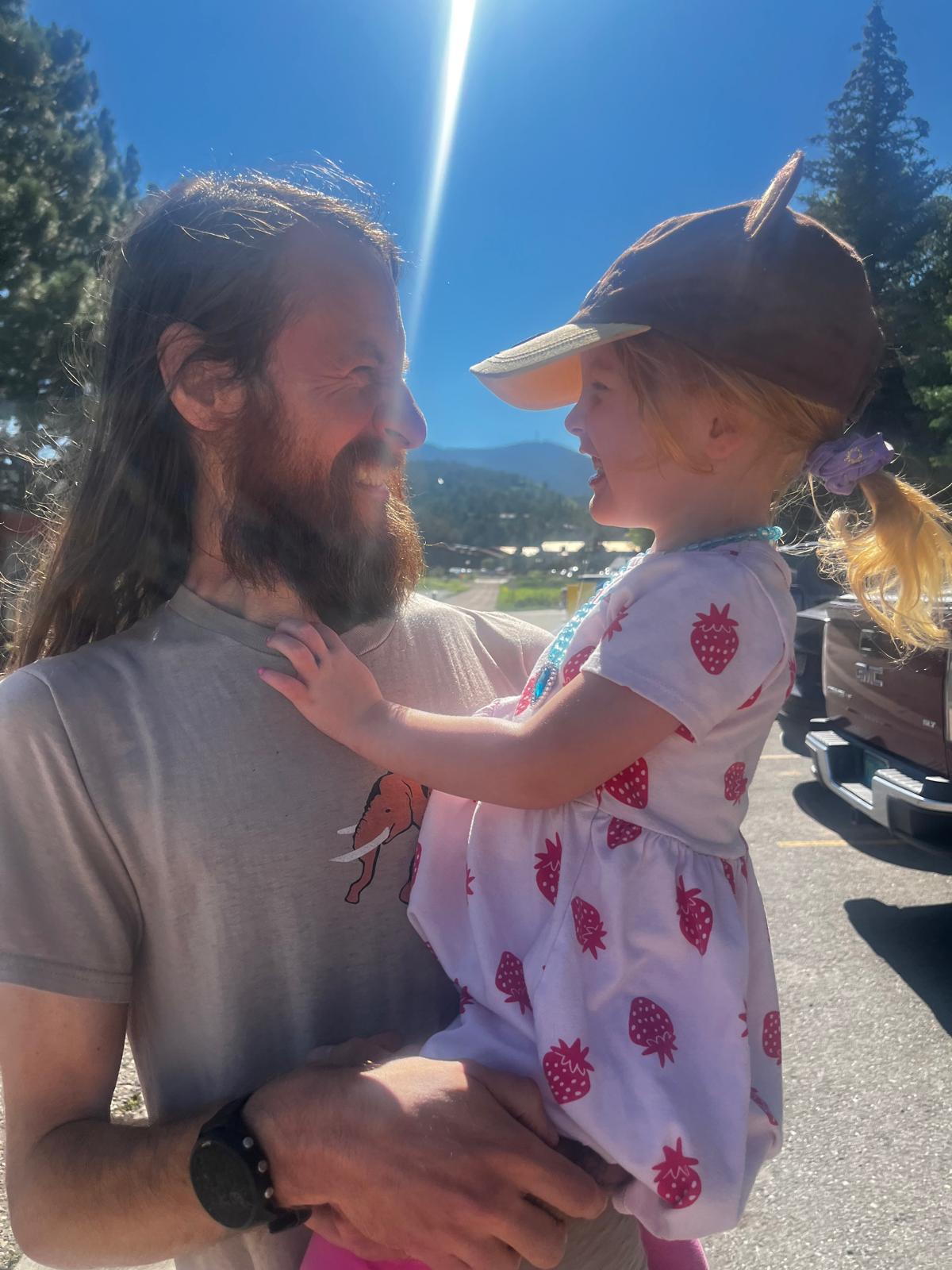
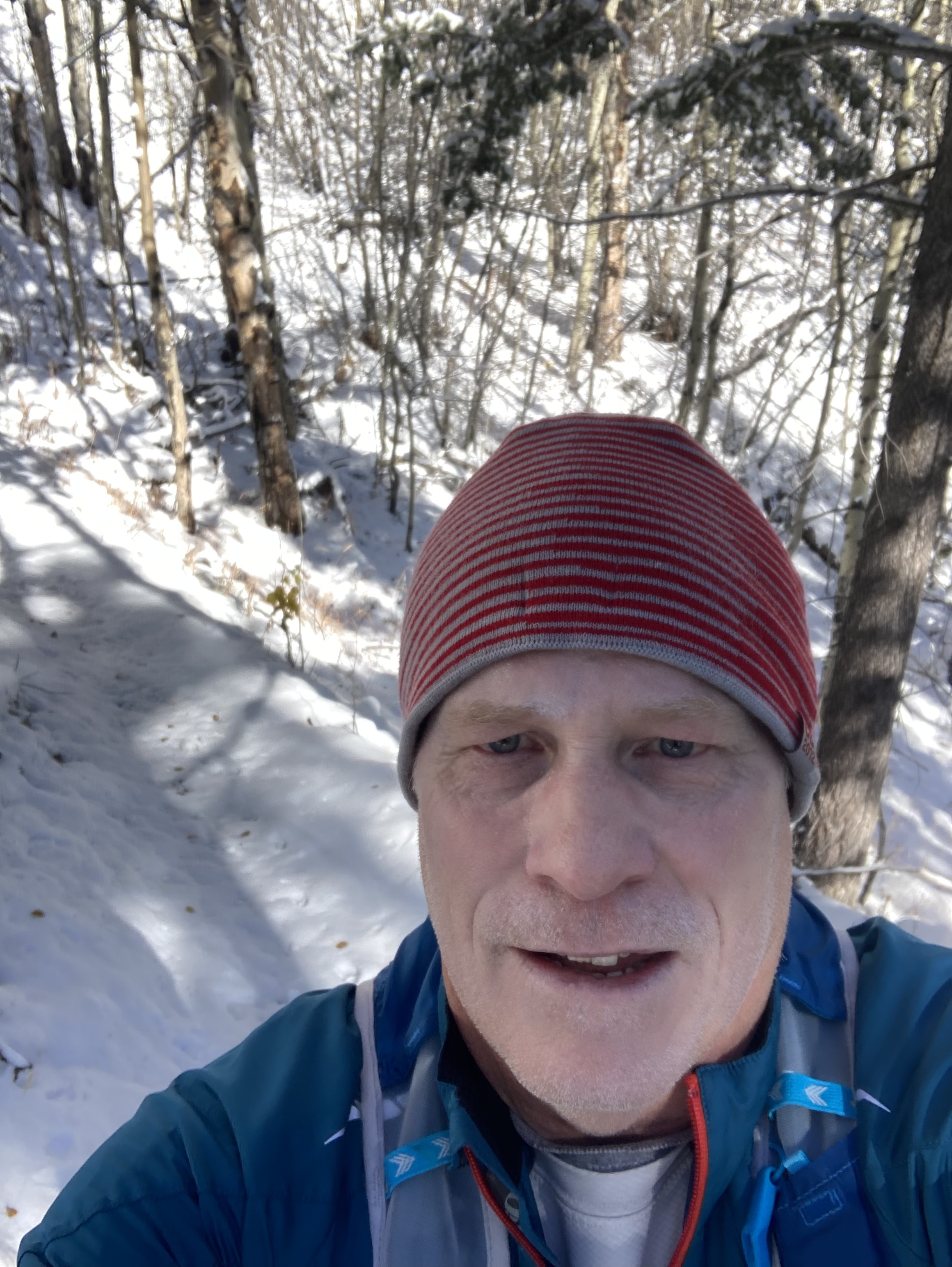
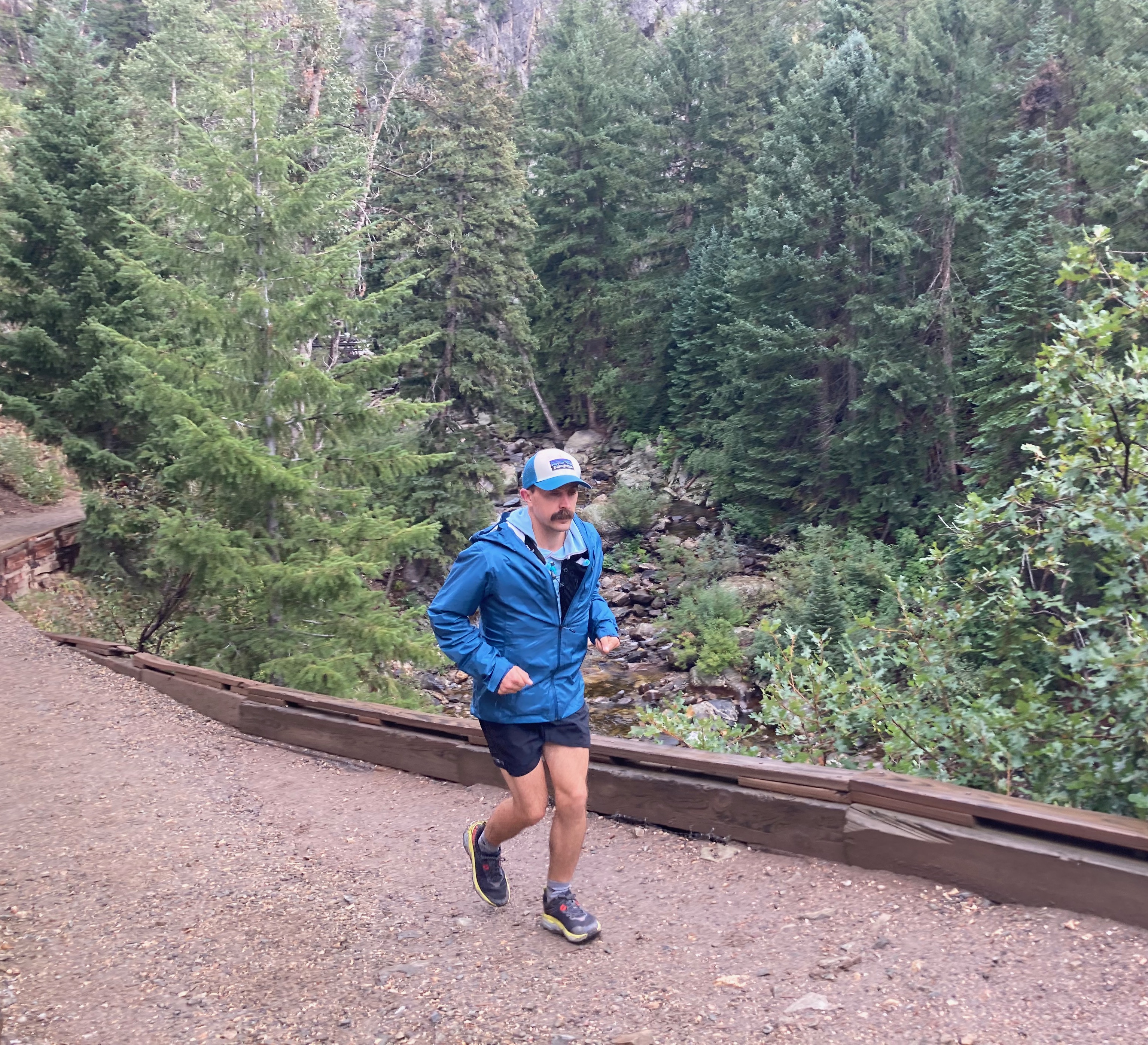
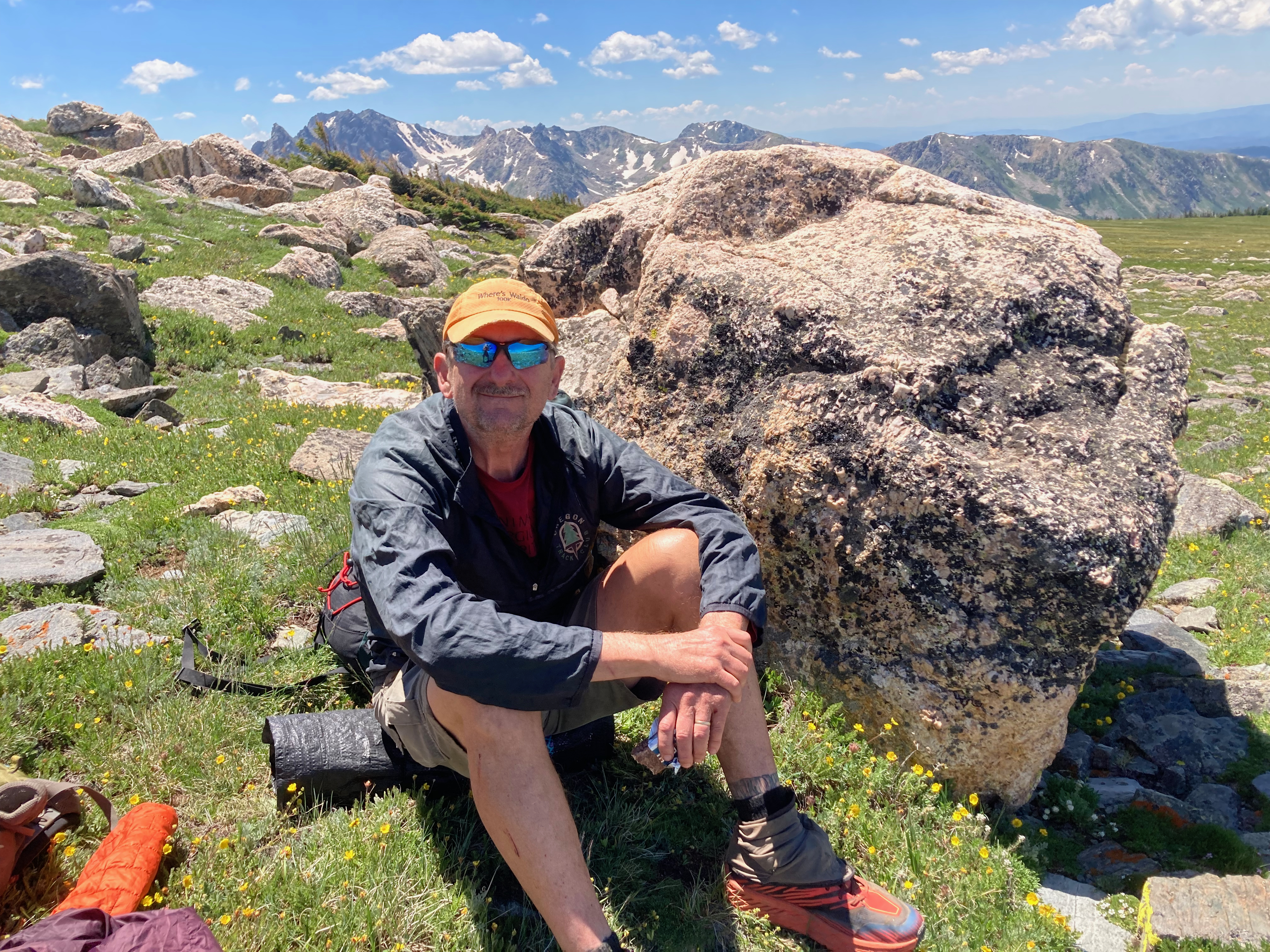
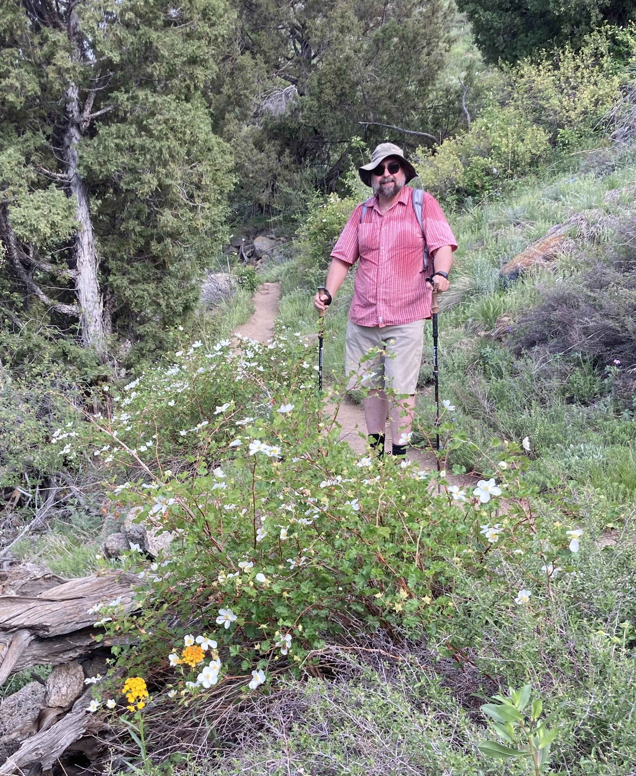
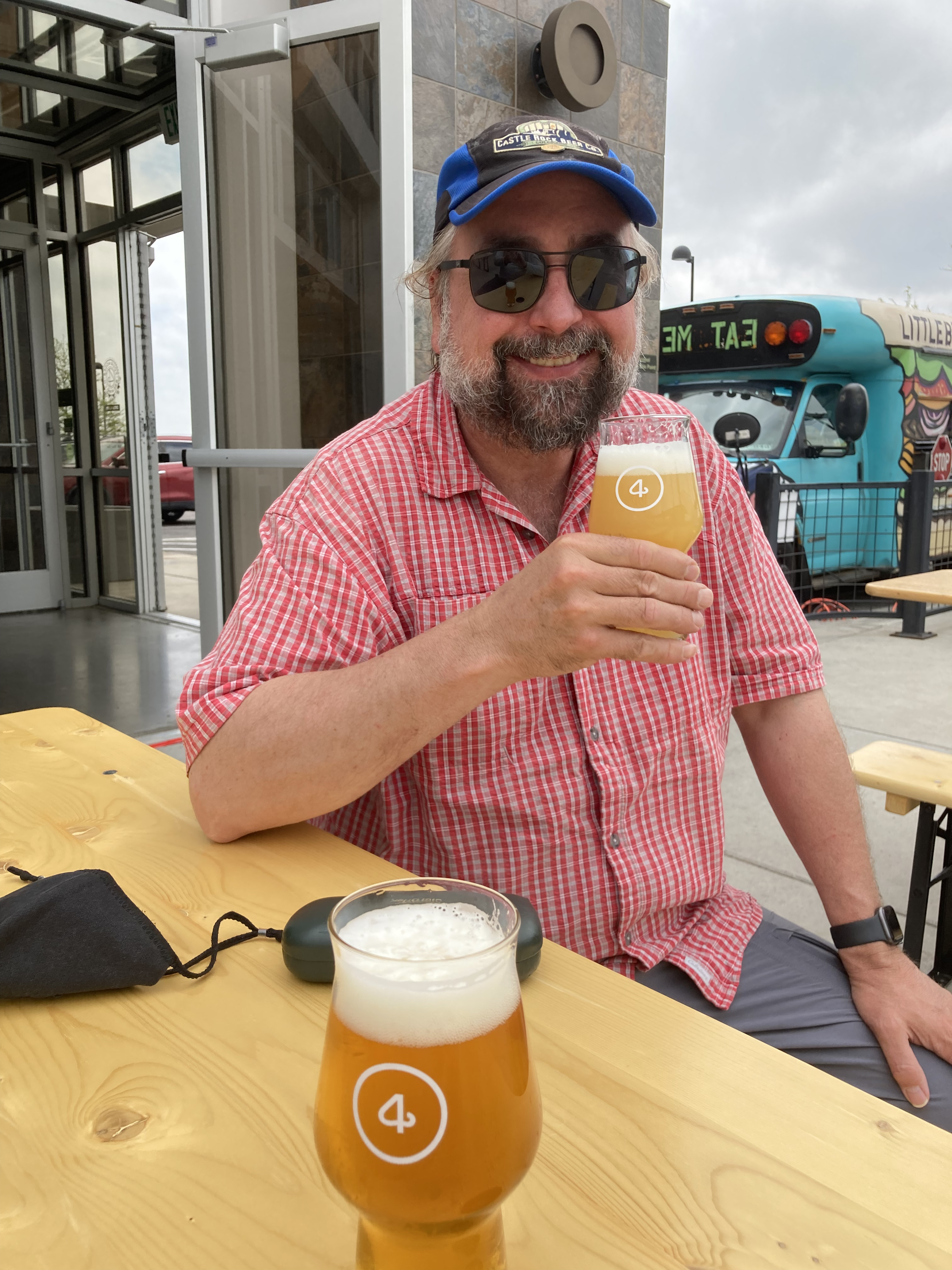
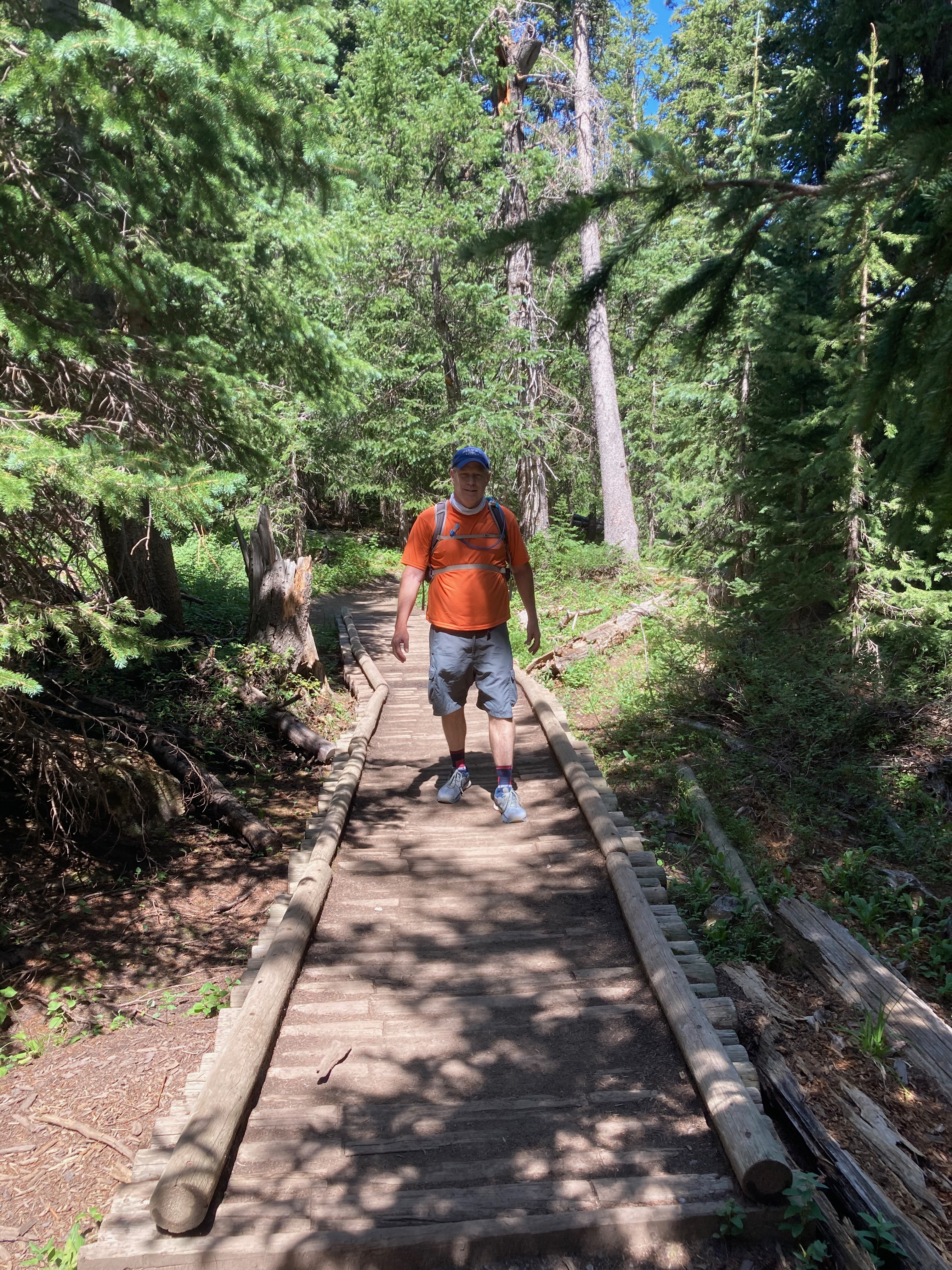
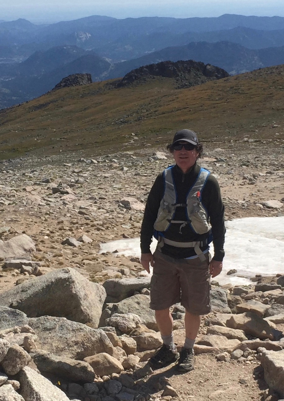
My buddy Todd told me he’d just moved into a new place and that these were the first two books in his bookshelf. So I said, let’s go for a hike Saturday. Todd helps me write legal docs at work. Or I help him. I don’t know. The process is not unlike working with an editor or critique team for my novels. I craft some words and Todd improves them before presenting to Legal.
I’ve lived in Boulder County for over thirty years and never hiked Walker Ranch Loop. Unbelievable. To get there, you drive west on Baseline to where it turns into Flagstaff. You drive past the Flagstaff Restaurant and just keep going, maybe fifteen minutes, until you reach the trailhead.
I met a guy, Rob Decker, at the Jagger’s post-vax, house party last night. We were talking publishing and he mentioned he spent over a million dollars advertising on Facebook last year. Because he makes art posters out of national park photos that he shoots, styled after the 30s and 40s Works Progress Administration efforts, we eventually began a discussion on hiking. Rob told me to hike this loop clockwise, because these steps induce most of the mountain bikers to ride counter-clockwise. This photo only shows a fraction of the steps. Trust me, this is the original stairway to heaven.
Todd and I stopped occasionally to smell the roses, or in this case, one of the many star lilies that adorned the trail. The weather could not have been better with the air 59° and strong sunshine. Boulder Valley was under a Gulf Coast cloud cover all morning, wisps of which breached Walker Ranch via Eldorado Canyon. It reminded Todd of fog rolling into San Fransisco Bay, and it was like that in spots.
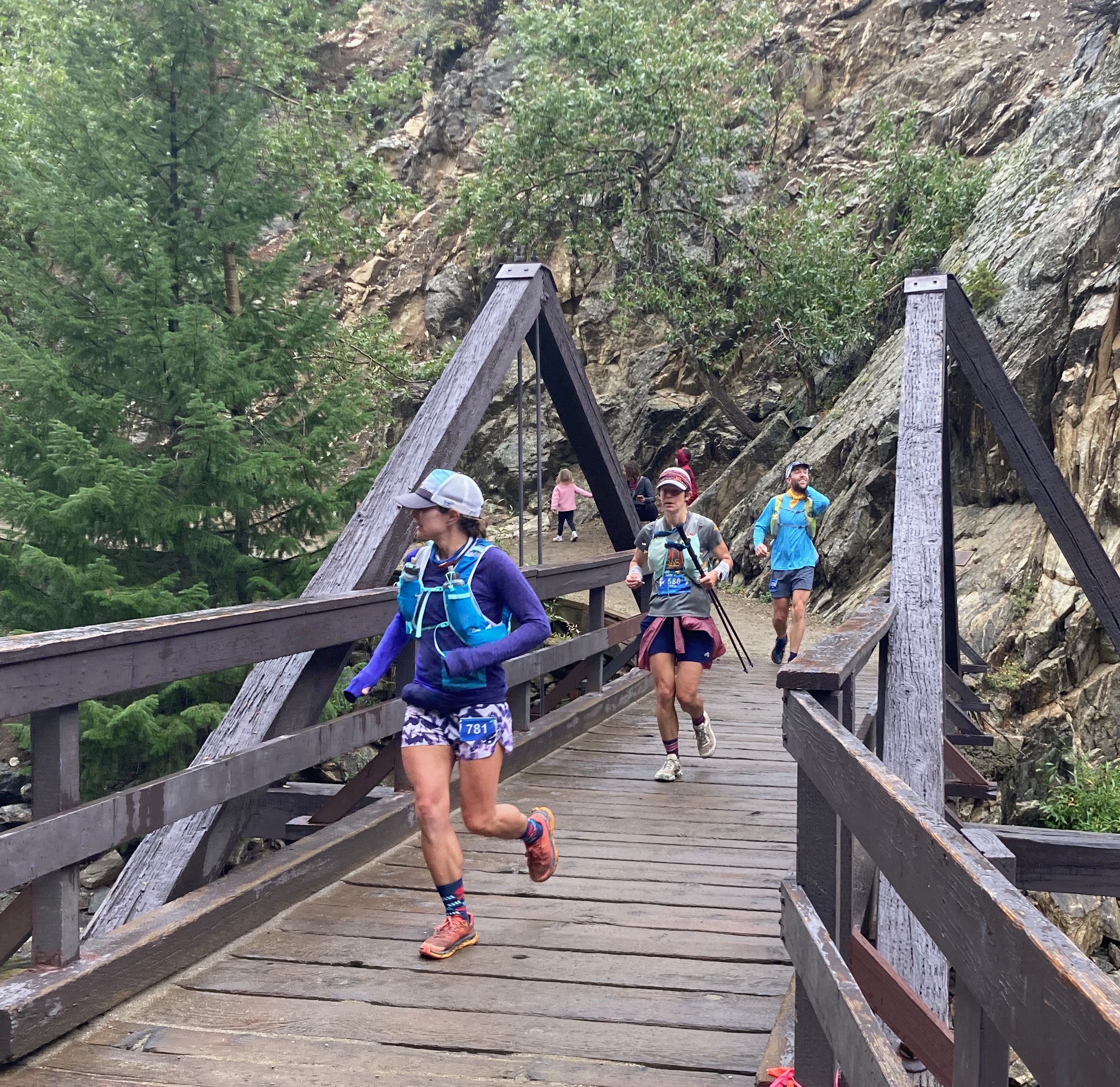
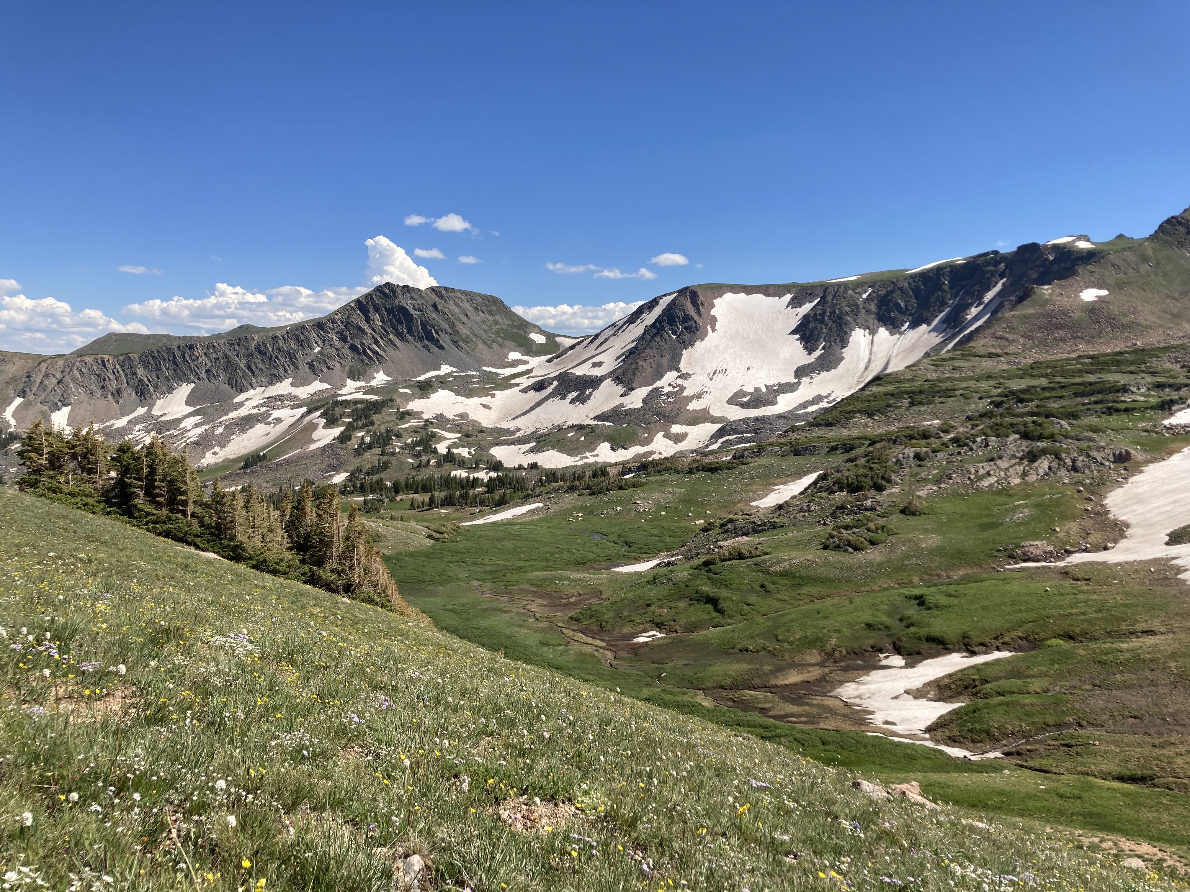
The loop starts out near the top of the trail and drops down to the South Boulder Creek. It then rises to the turn-around and drops back down to the creek on the return. The east-side four miles has a V-shape elevation profile and coming back on the western loop gives it a W-shape end-to-end.
We lunched on the creek on the return side, putting five miles behind us. The entire route is eight miles. We finished in about three and a half hours.
The trail is rated hard but I thought it was in our wheelhouse. Awesome training for my upcoming fifty-mile backpacking trek along the CDT in the Collegiates next month.
There were more runners on the trail than mountain bikers. If you can see well enough in this photo, there’s a lady behind the runners with four dogs on leashes. She said it was mostly an arm and upper body workout.
The 4 Nose Brewing Company just happened to be along our route on the drive home, so we stopped in for a tasty beverage and to replace calories lost on the trail. The irony of hiking past a woman walking four dogs on the trail was not lost on us.
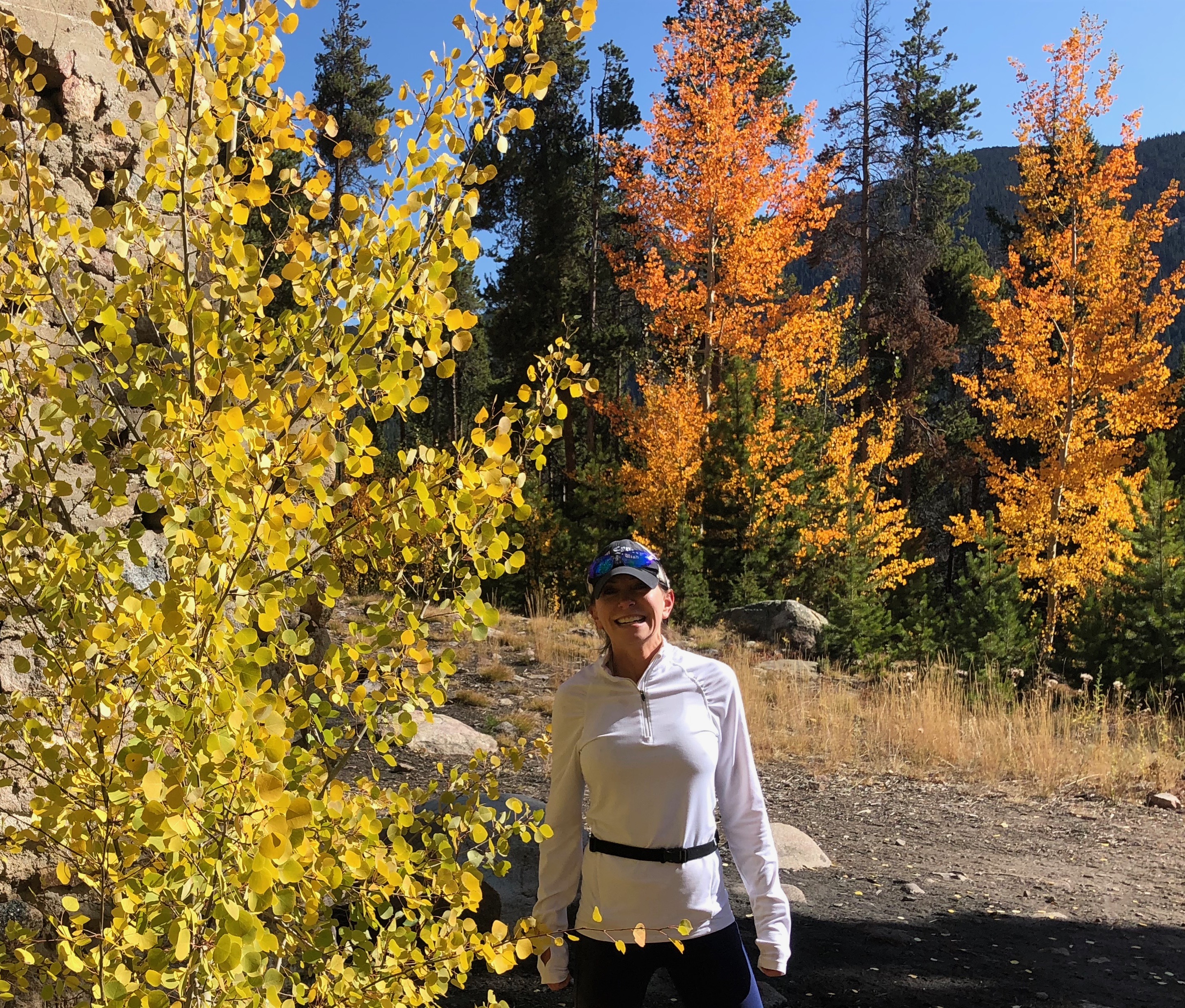
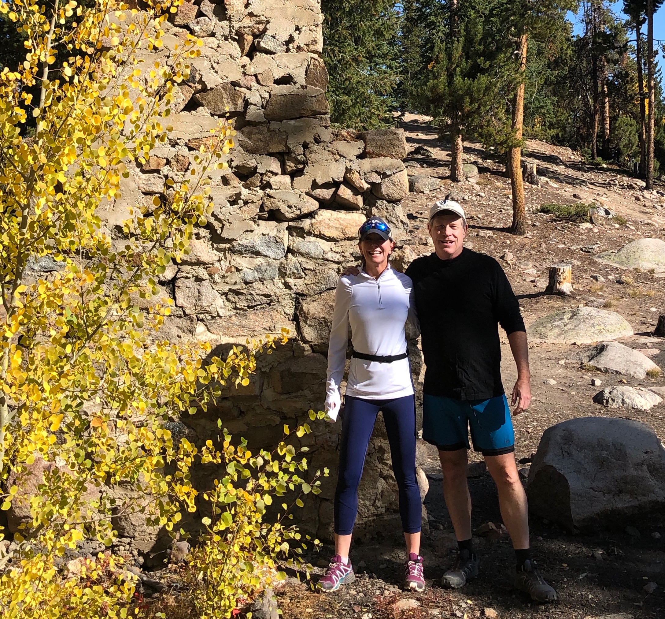
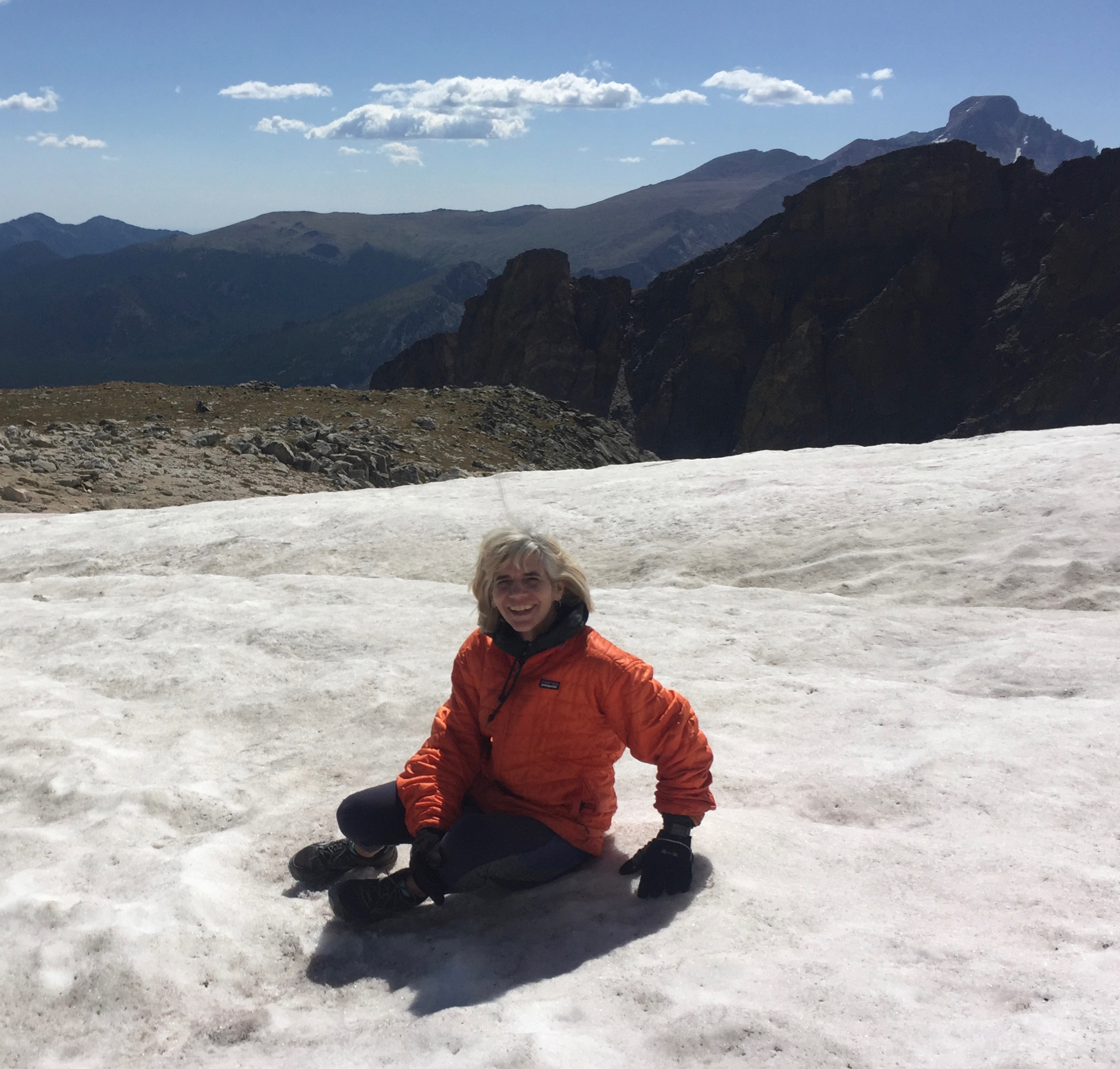
To celebrate thirty-three years, Karen and I hit the trails in Ouray. What could be better than taking in air from the top of the world? We spent day one exploring the Perimeter Trail that rings the box canyon.
We drove up to Molas Pass on day two and hiked between the lakes. The weather could not have been more perfect with the cooler temps I’d been dreaming about in Texas.
We discovered our favorite trail on day three when we hiked the Blue Lakes Trail. The forest road is a bit long, about eight miles, but drivable with a low clearance car. The trail runs mostly through gorgeous pine and aspen. It breaks just around tree line for the first lake, catching snow melt in the basin.
We stopped by Khristopher’s Culinaire one day to say hi to Khris and Janet. They said the crowds have been great this summer. I agree, the trails had a healthy number of hikers. People were pretty good about either wearing a mask, or stepping off the trail if they didn’t.
I had time one day to hike around Molas Pass with my buddy Rob, who drove up from Durango. We began on the Colorado Trail and bushwhacked our way up to a high point offering tremendous views of the San Juans. I also ran into a work colleague in Silverton eating lunch with his family. We work together almost daily, and had never met one another before.
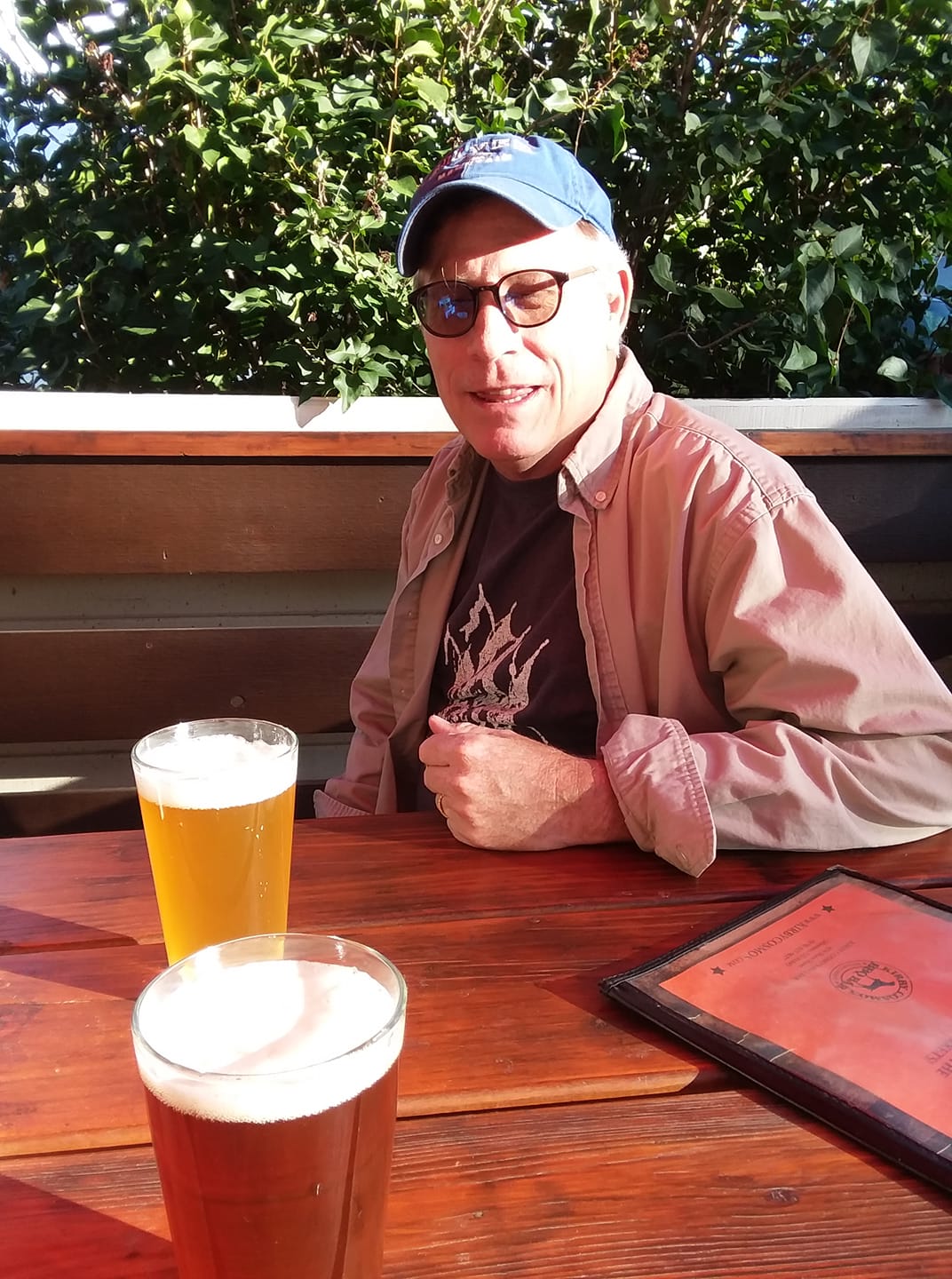
We ate at several good restaurants in Ouray. Red Mountain Brewery was good, along with Brickhouse 737. My favorite dinner was at Bon Ton. These were my first restaurants since late March.
A hiking vacation might not seem very romantic to celebrate over three decades of marriage, but we know what we want these days. This was one of the best vacations ever.
After my Keurig run, Karen told me to enjoy the Keurig one more time, then pack up. The Covid’s comin’. Gear up to hit the trail. We got as far as Estes Park where we thought we could get some grub. We were greeted with signs like this, reminding us of just the other week when it was that way at home too. We were happy with the takeout from Bird & Jim. And they had a better sign.
The girls took our flight in stride. One more road trip for old times, I heard one of them say. Ellie Rose will go off to the Colorado School of Mines this fall, leaving Karen and me to discover our new normal as empty nesters. Ellie Rose should be safe in the mines.
Estes Park did have good food, but we found ourselves surrounded by the Colorado Mountain elk herd that’s been ranging these slopes for eons, or at least since 1913 when the then extinct herd was reintroduced from Wyoming.
We waited for the elk to fall asleep and made our escape under the cover of darkness. With the next morning’s sunlight, we found ourselves on the Lily Mountain Trail.
Karen told us this trail would lead to a new world. A place free from the horrors of 2020. She told us we would be happy in this new place.
When we got there, we saw this. We knew this hike was the right choice for the Memorial Day weekend. Karen was right.
New generations will blaze new trails up here in Karen’s woods. Summer is coming, calling all of us outdoors, hopefully not like sirens to the rocks. Wear a buff on the trail.
The word Argentina is derived from the word silver, which in Latin is Argentum. This is also why Ag references silver on the periodic table. Argentina was initially called Terra Argentea for the land of silver. But the Argentine Trail that rises out of Silver Plume was a trail of gold today, buried under the golden aspen trees that grace the forest along I-70. If not for the history of silver mining in the area, I’d recommend renaming it Aurum Trail – gold is Au on the periodic table.
Jen, one of my running mates, joined me on the trail today, along with her husband and kids. We ran this, mostly to see the aspens, but also because it’s a fairly gentle grade, rising 900 feet over three miles. Of course, it starts at close to 9200 feet. And Jen shot off from the trailhead like a rocket, so I had to beg her to walk a few times on the way up. My cardio is not up to Jen’s level.
We made it to the top, which is called Pavilion Point, where a fireplace is all that remains of an old miner’s home. Despite the elevation, this trail is very runnable. The grade is so gentle because it used to support a narrow-gauge railroad that hauled the silver down into Silver Plume.
I’d be remiss not to add a senior photo of Ellie Rose, that her good friend Chase took of her in the fall colors. I would argue it’s Ellie Rose who makes the fall colors look good, but it’s just a great time to get outside.
We woke early and hit the trail at 6:30 am, when there was enough sunlight to hike without headlamps. We first drank coffee under the moon and stars, unfiltered from the light pollution of cities in the clear 35° air.
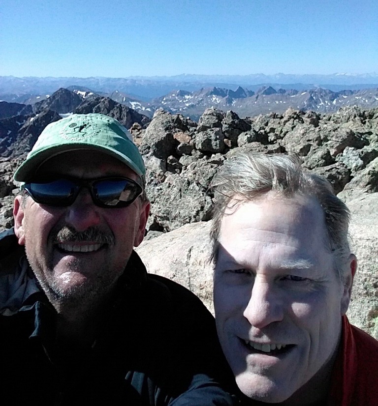
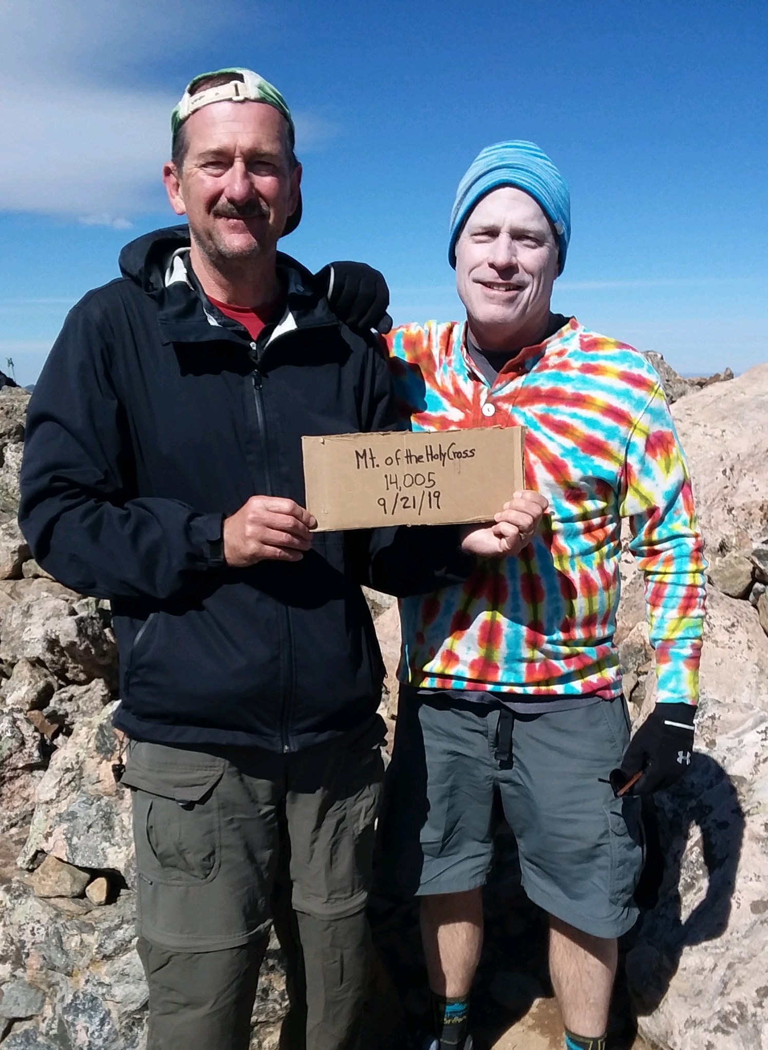
Saturday’s objective was to summit Mount of the Holy Cross, a fourteener south of Vail. The twelve mile, roundtrip trail started at the Half Moon Trailhead. It consisted of two hills, the first was a thousand foot climb, the second was a three thousand foot ascent. The aspen were just turning bright yellow.
We passed by two tired women descending almost as slowly as we were climbing. This section of trail resembled a steep staircase. One of them called out, “It’s easier in the rocks.” Most everything above tree line was a boulder field. I can’t explain why she said it, or what she meant by it. When is hiking through the rocks ever easier?
Near the end of the hike, we saw a couple of hikers stopped on the trail ahead of us, apparently talking. As they saw us approach, they departed, going separate directions. The one hiking toward us turned back around and shouted to the other, “You should also look into the Ten Commandments.”
As he neared us, I saw that much of his outfit, including hat, sunglasses, scarf and shirt, were all sporting a red, white and blue striped pattern. And he might have been wearing make-up. Very eye-catching. He looked as if the clown in Stephen King’s It made babies with Uncle Sam. There was something off with this guy. He was either going to start preaching the Bible to us, or shred us with an AK-47, but he passed without incident.
Hikers, in their trail reports, generally describe this as an exhausting hike. It was. It was six miles of vertical in each direction, with about 5500 feet of elevation gain, and took us close to nine hours. There’s camping at the trailhead, but an even better camping spot along a creek after the first hill. That would make reaching the peak before sunrise more doable. Incredibly beautiful views and a memorable hike.
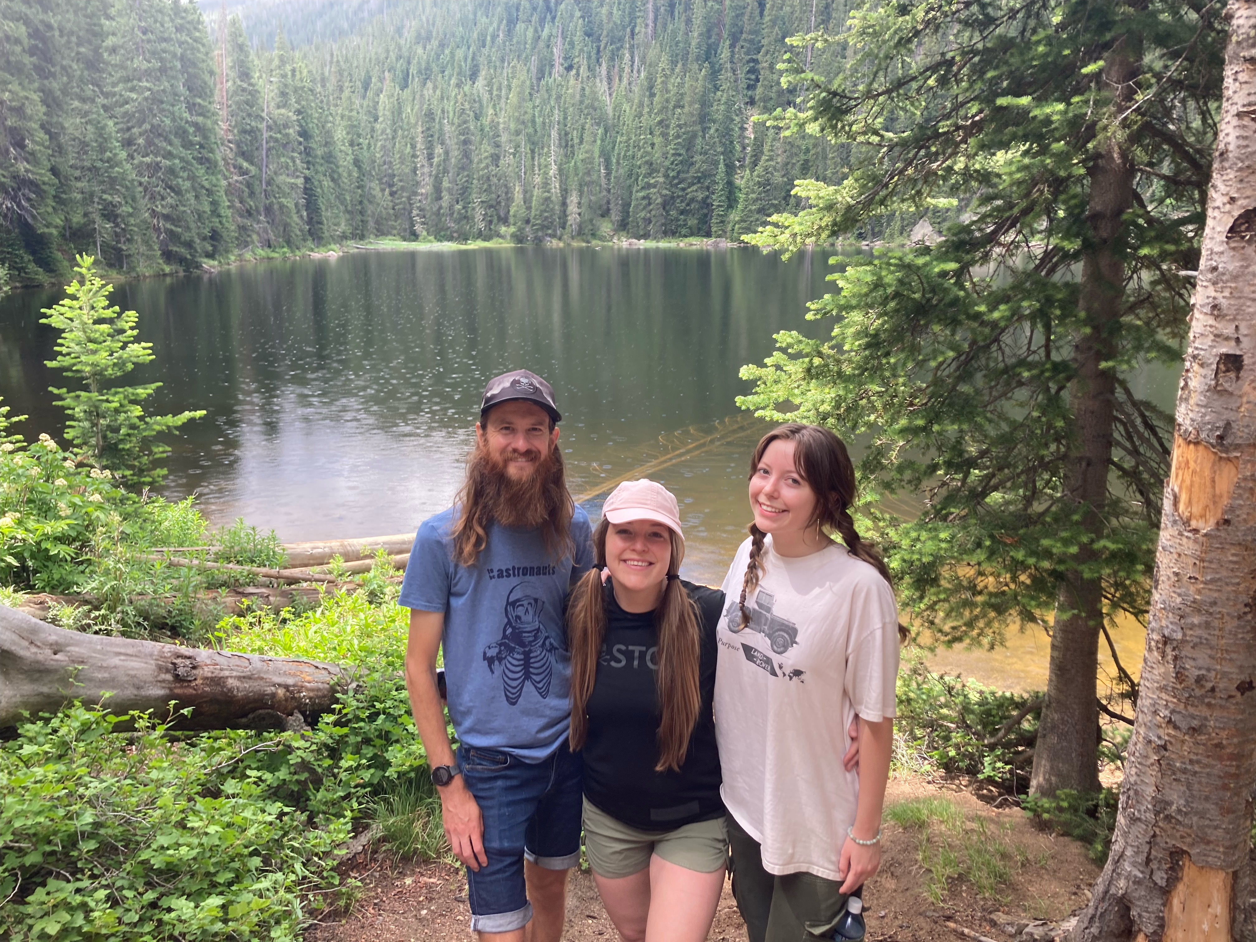
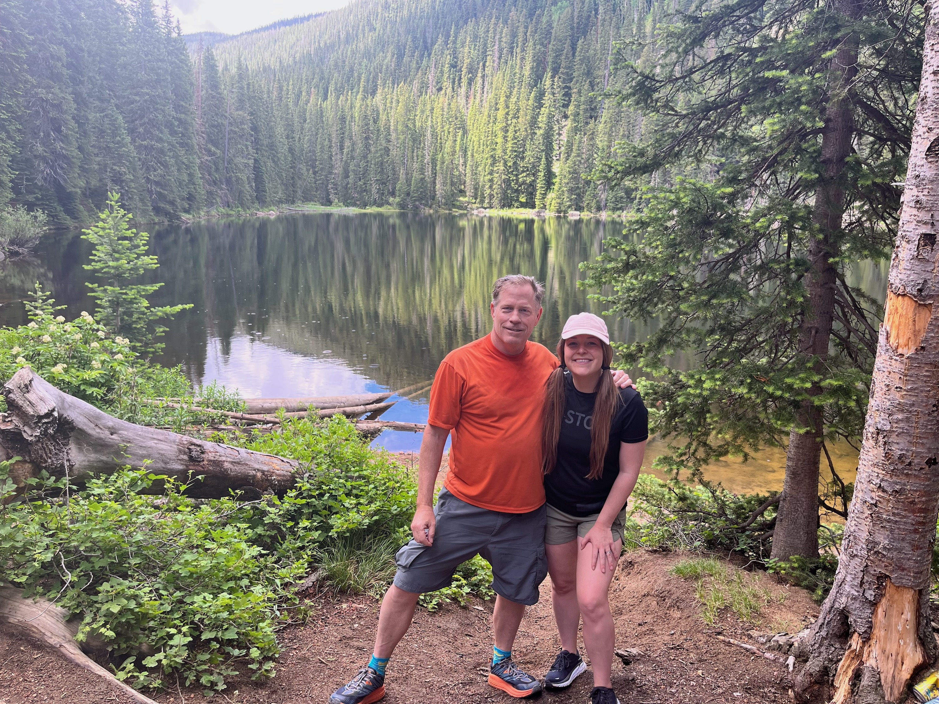
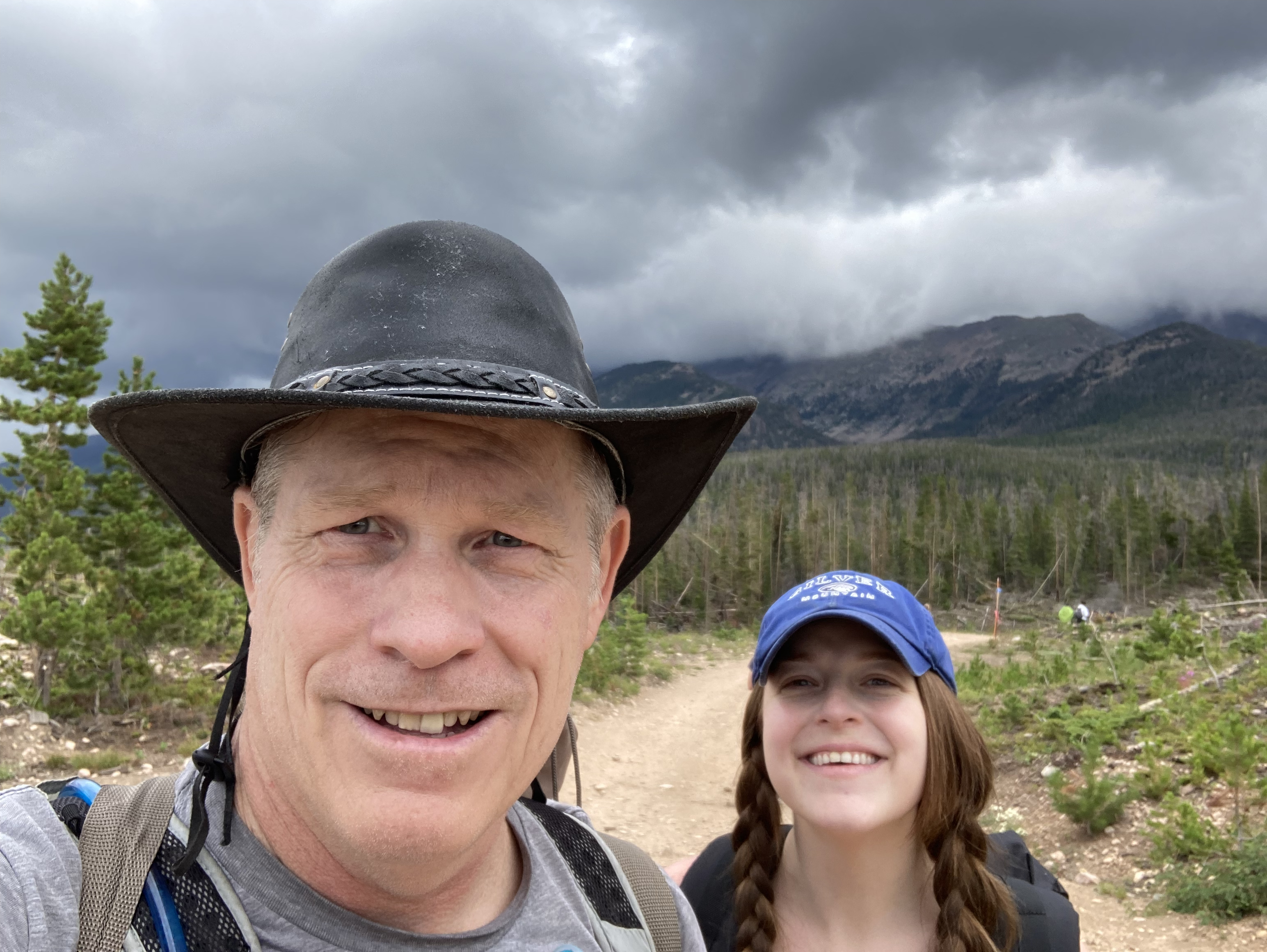
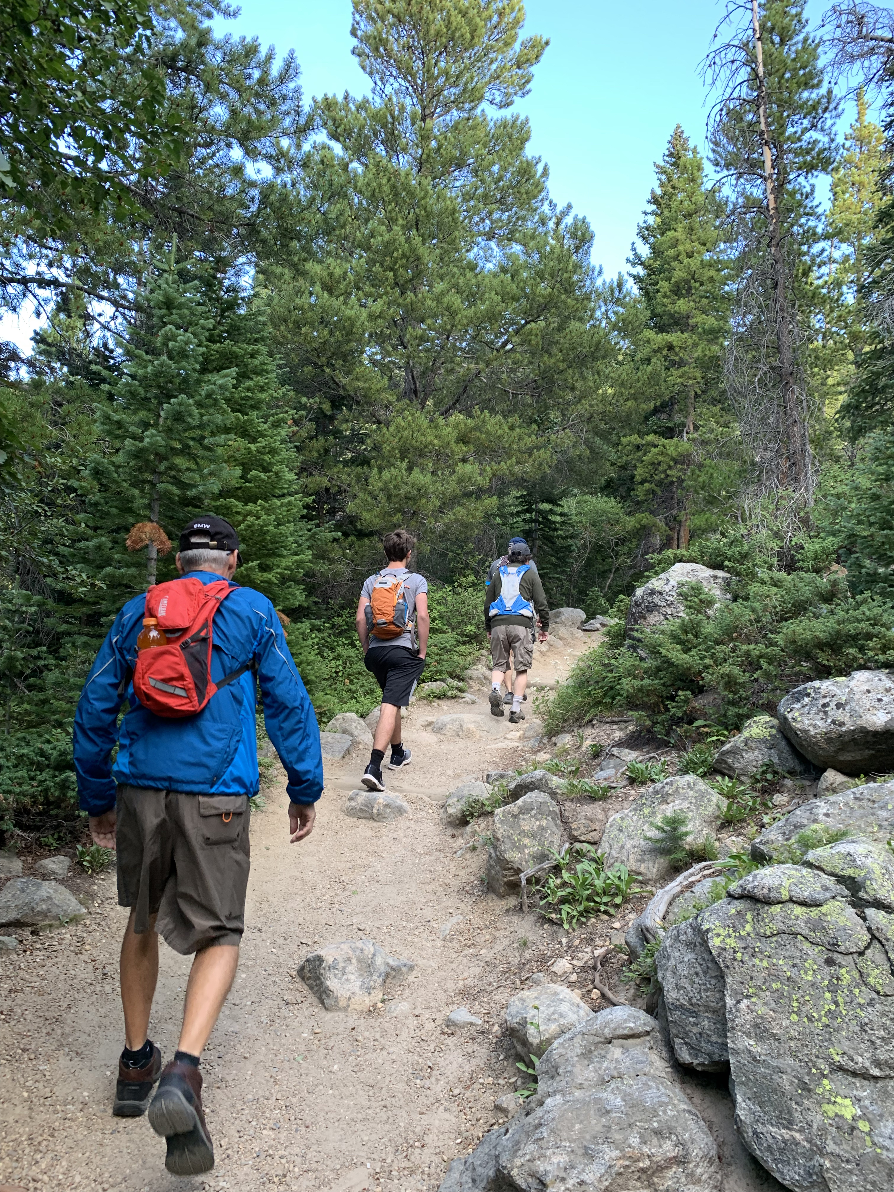
Estes Park was an ideal wedding venue for out-of-state guests who enjoy the outdoors, because the town is the gateway to Rocky Mountain National Park. Eric’s father Doug, and my niece Jessy’s husband Bryan, went fly fishing. No doubt, some of the most gorgeous fly fishing in the world is in RMNP. I took four Texans on a massive nine mile hike to the summit of Flattop Mountain.
You can see how well-groomed the trail is here at the start. The Bear Lake trailhead was packed with over 100 cars, but very few hikers took our trail up to Flattop Mountain. With 3000 feet of elevation gain in the 4.4 mile distance, it’s one of the park’s more challenging adventures.
I extended invites to the two dozen or so friends on our private wedding FB group, and I had four takers – all from Austin, Texas. I was confident these four could do it. My brother Steve, pictured above, was the oldest in his low 60s, but he’s a Mahoney so I knew he was up for it.
Karen’s brother Steve, pictured here above tree line, still rocks Austin with his band the Rite Flyers. He lives for epic stuff like this.
An avid athlete, Laura doesn’t shy away from adventure. She is so fit, I don’t think she noticed the altitude rise from 9400 feet at the trailhead to 12,200 at the summit. She did comment on the cold winds up top, but then she had just left 105° in Austin.
Laura’s seventeen-year-old son Zac is so fit, he appeared to climb this hill sitting down. I’ve been on trails with him before and he’s an experienced hiker.
With Longs Peak as a backdrop, Laura clearly won an August snowball fight with her son.
Laura and her son were naturally the first to summit Flattop Mountain. The two Steves and I maintained a more gentlemanly pace. Other wedding guests still enjoyed the outdoors by wandering around Estes Park and some of the nearby trails. The five of us will remember Brittany and Eric’s wedding for this epic hike.