 You can’t think straight enough Wednesday night to pack. You’ve been distracted since you returned from Molas Pass about getting back on the trail to finish what you started. Distracted is not the right word. Preoccupied maybe? That would work in Spanish since in Mexico it means worried. You’re concerned that the weather will turn for the worse. Last weekend would have been ideal weather. Well, seemed good in Longmont, could have been different 500 miles away near Durango. But you scheduled this upcoming weekend to complete the CT. And Karen entered the Beathard’s East Texas Red Chili recipe into the Prospect Chili cookoff last weekend, so you were committed to tasting a dozen chili recipes on Sunday. Your concern with having this completed already stems mostly from the weather, but there are other factors. Work Thursday morning is unbelievable. Everything is going south faster than Lotus Notes can replicate your email – thanks to SameTime Chat which is faster than the speed of email. You’re prepared to cancel the weekend but things come together and you’re able to take your half day vacation after six hours of work and drive off at 1pm.
 Brittany no longer works at Snarfs so you pick up a sandwich for lunch in the car and two more for lunch tomorrow at Jimmy Johns. Not as good but good enough. Highway 285 is gorgeous. The parking lots on both sides of the highway at Kenosha Pass are full – presumably from camera toting hikers. Monarch Pass along Hwy 50 is even more colorful. Half the cars driving in front of you at some point stop for the passengers to get out and take pictures of the fall colors. Turning south on Hwy 550 you see the snow covered San Juans which are the first thing to compete visually with the gold leaf aspens. Beyond Ouray, on the Million Dollar Highway to Silverton, you nearly stop yourself to take a few snapshots. Never in your life have you seen such spectacular scenery. You reach Molas Pass after 6.5 hours of driving and Tumbleweed has pizza and beer waiting. Not that he waited – he’s nearly full.
 You quaff two beers with some really good pizza Tumbleweed exported from Durango. A friend, Tonya, drove him back to Molas Pass after he dropped his car off at the trail head in Durango where the CT will end. This allows you to skip the car shuffle which is good since it was 25 minutes past sunset when you reached your camp site 5 miles south of Silverton on Molas Pass.
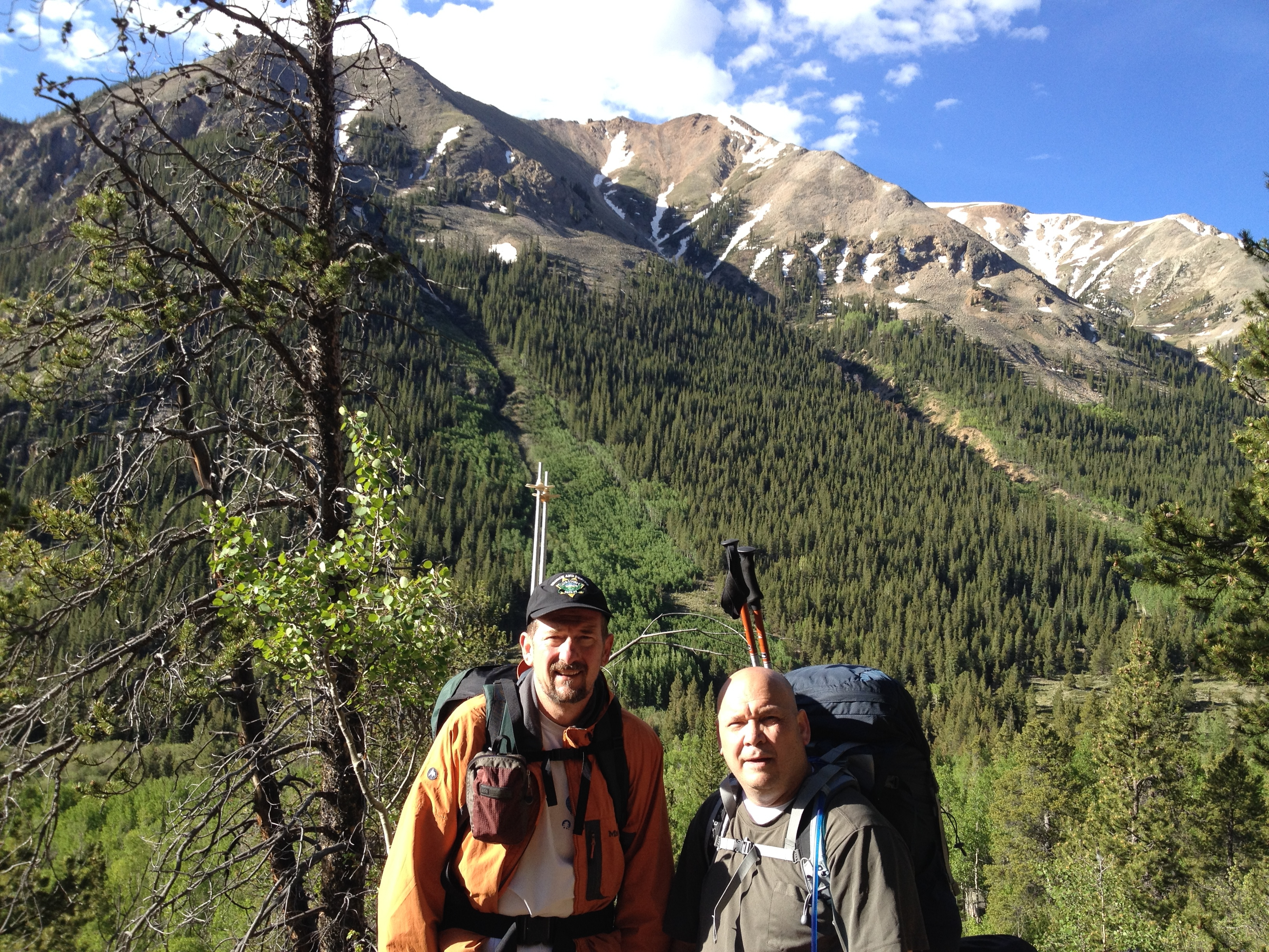
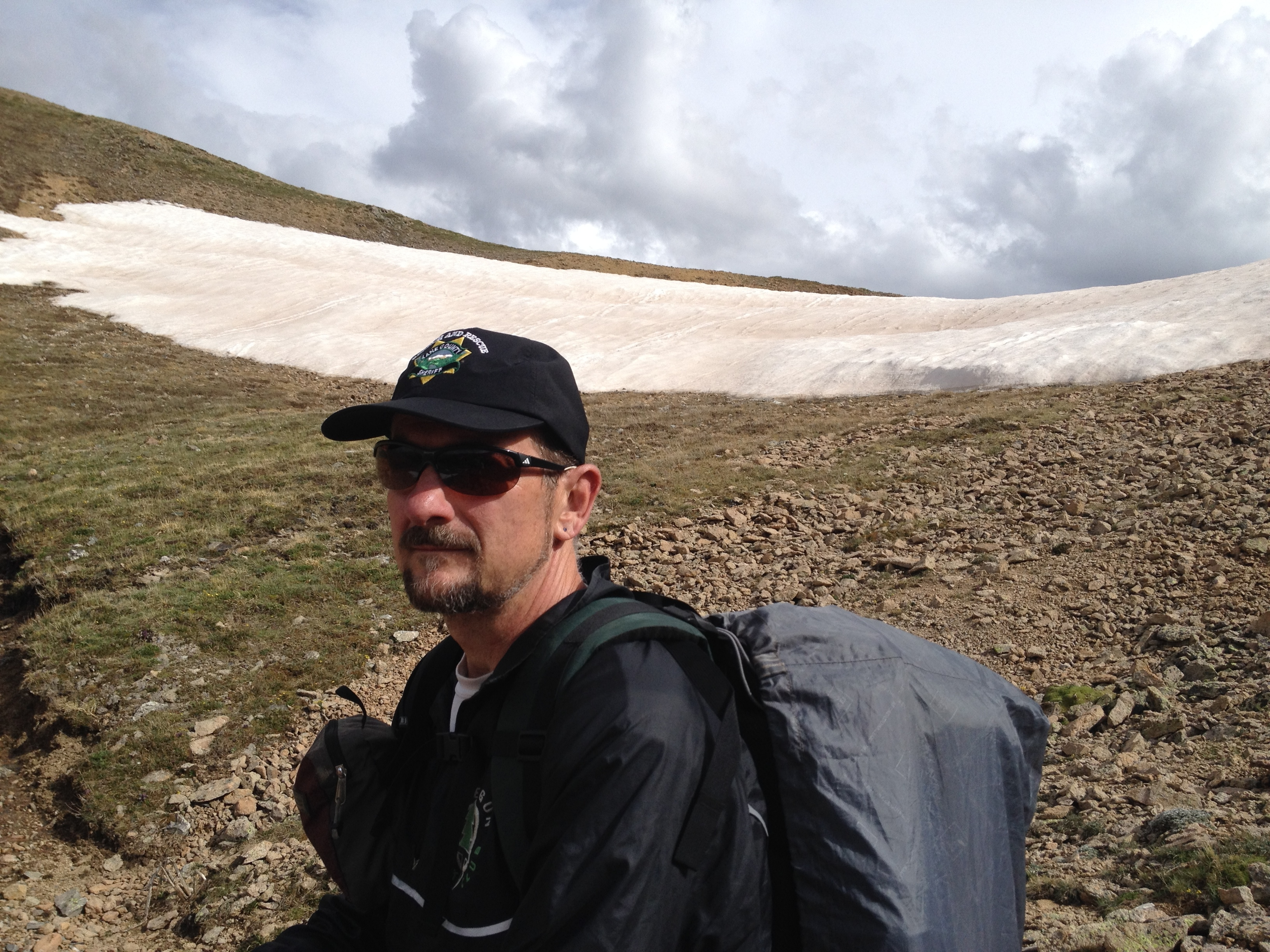
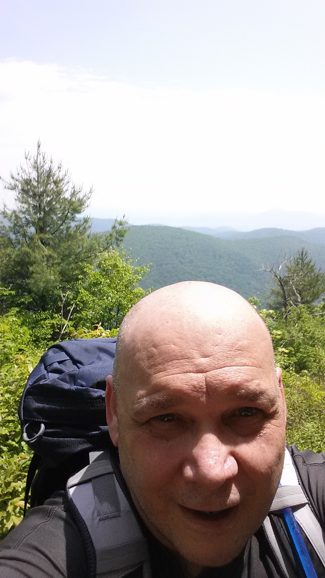
You pitch your tent in the dark after dinner and sleep soundly despite your excitement. You rise at 5am to coffee and stars. You’ll miss the star gazing when this is over. Using headlamps, you launch off on your final CT weekend at 6:21am. Official sunrise won’t be for another half hour or so – which you catch in this third photo above. After about a quarter mile you realize you forgot your gaitors in the car. It would be easy enough to drop your backpack and run back to fetch them, but you make the call to trudge on without the ankle protection. You’d have gone back if you expected heavy snow but you’re not concerned with a few rocks and twigs.
 Over-confident? Possibly. More likely you are just so excited to get going that you don’t want to turn back for a few minutes. And to be fair, you need to average 25 miles per day to finish this slog in three days. But like the weathered trail sign you lean against for a pic, the trail could turn corrosive if not prepared.
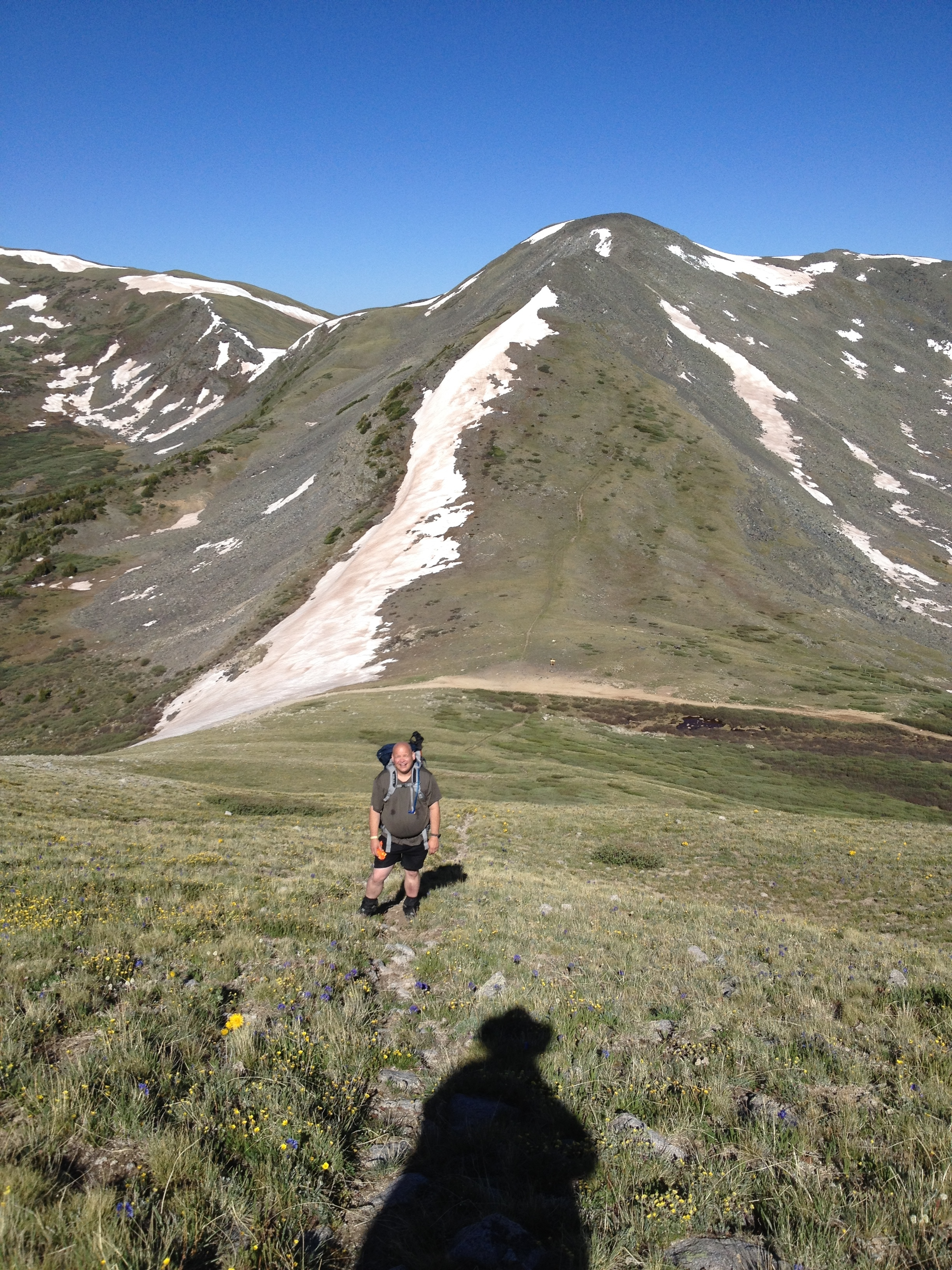
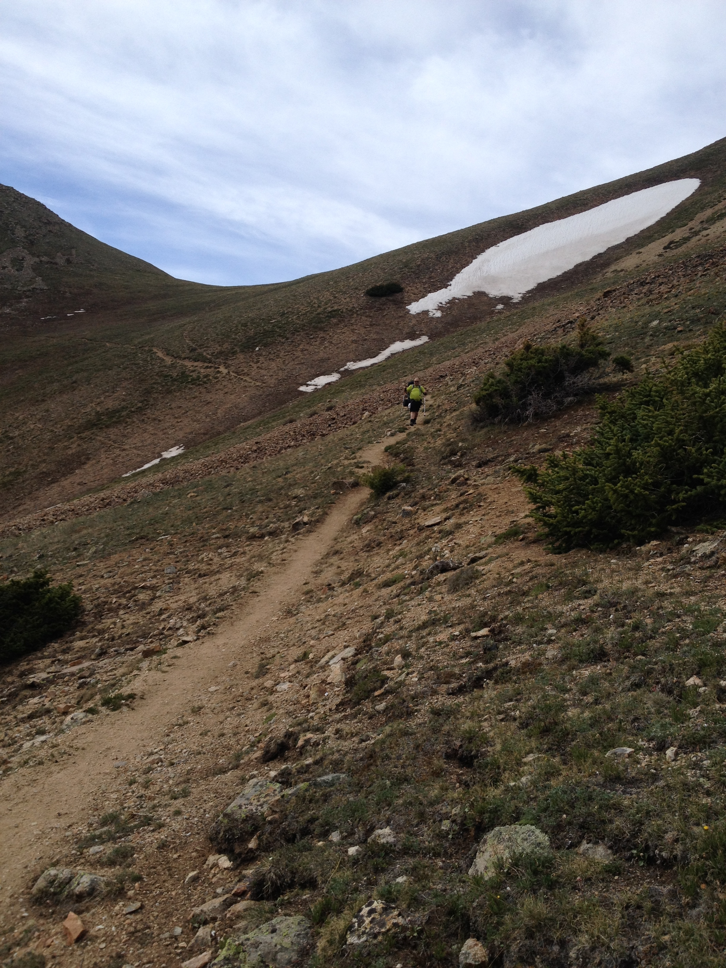
Despite the forecasts for rain and snow, the day is as bright and sunny as the pic above depicts. You’re making good time on a beautiful fall Friday and reach the segment highpoint on a saddle at roughly 12,400 feet a little after noon.
 By 1pm the snow and freezing rain begin to fall and by 2pm you find yourself caught in a decent downpour and thunderstorm above treeline. Less than ideal for sure. And make no mistake, you’re anything but cavalier about the weather. You’re super concerned about being struck by lightening. You quicken your pace to reach the trees but this is impeded by the mud. You complete segment 25 and progress another mile and a half or so into the next segment before calling it quits for the 10 hour day – just a hair into the trees at around 11,500 feet. It’s fairly early, before 5pm, but you’re not confident you can make the next decent camping spot known to have water in this weather.
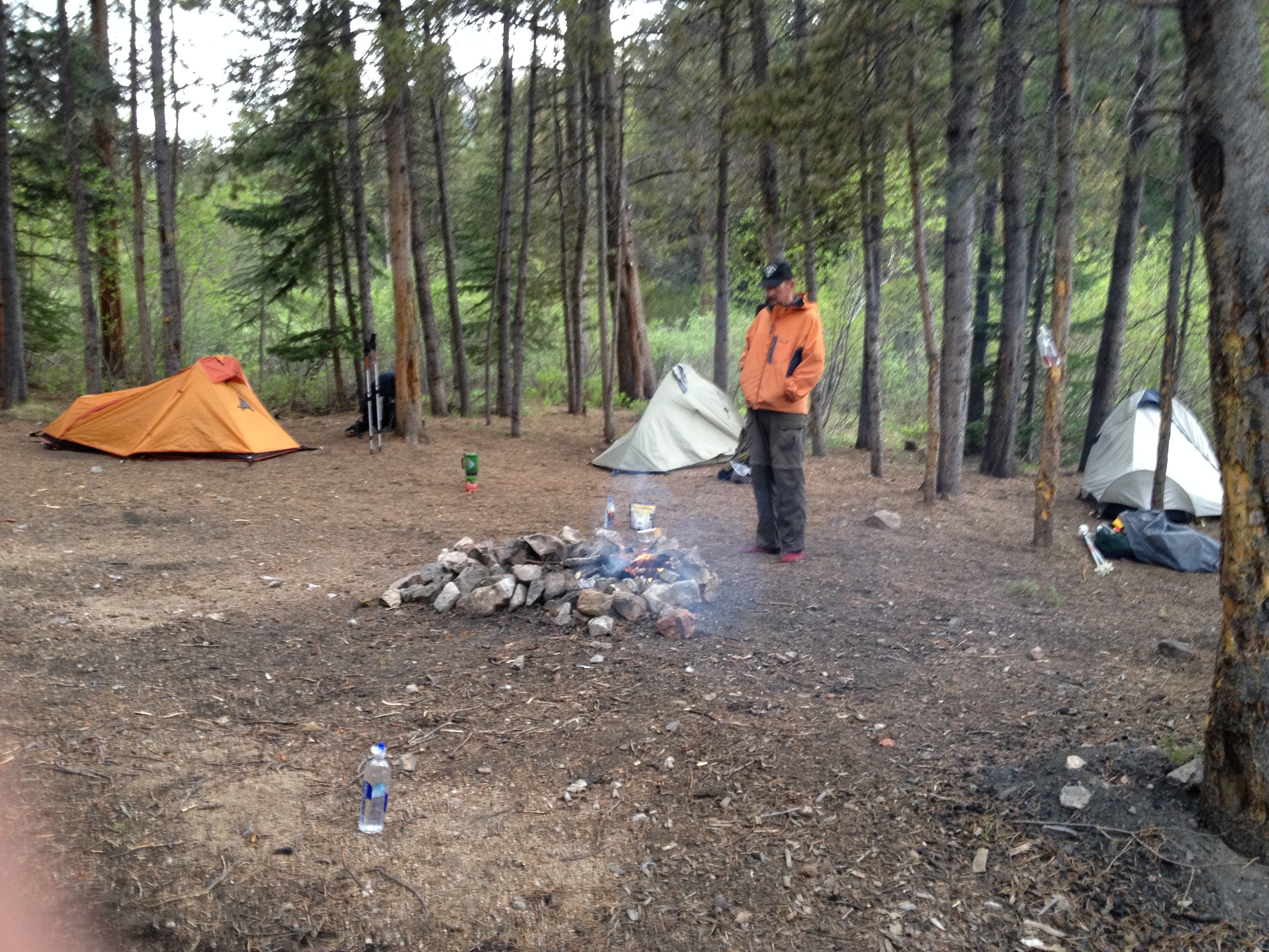
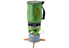
The rain makes for a cold dinner. In fact, you keep inside your tent to warm your feet as Tumbleweed heats water over the butane burner for your camp dinners. You wonder now how much those gaitors would have kept your feet dry and free from the mud that now covers the floor of your tent. Tumbleweed serves cheese and crackers before dinner with Makers Mark. You’re not farmers. And while some might consider this to be over-the-top sophistication, he adds Fritos to your Mountain House freeze dried camp dinners. With light still in the sky, you retire to your sleeping bag satisfied. Tumbleweed tells you the next morning that you were snoring by 7pm.
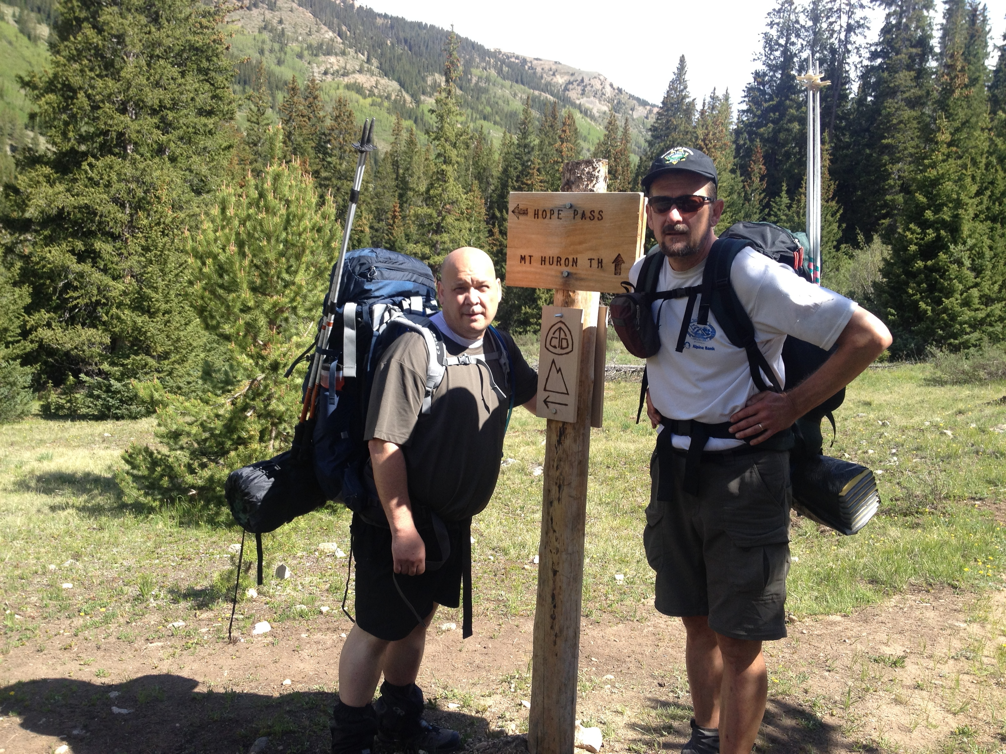
 You rise at 5am Saturday morning and efficiently pack up your gear preparing for a long day. The goal, to reach a good camp site with water – in this case Taylor Lake – will require a 28 mile hike. You gear up with your big boy pants and hit the trail at 6am sharp – still drinking your unfinished coffee.
You’re able to shut off your head lamp after just over a mile once your eyes have become accustomed to the trail in twilight. You climb a bit but after 5 miles you descend solidly for the next 5 miles – reaching an elevation well under 11K feet. So much of this hike in the San Juans has been on ridges and tundra above treeline that you welcome hiking through trees again.  Somewhere in the middle of this you cross Straight Creek where Tumbleweed filters more water. Much of the trail is covered in icy rain and you’re careful with your foot falls when walking down steep slopes. You pound your feet harder than normal into the ground as you walk to make certain you gain traction on crushed ice.
You prepare to get soaked again in the early afternoon on segment 27, but somehow you skirt the edge of the rain all day. You over-react to a little rain and snow by donning your $2 rain poncho only to have the sun come back out for a beautiful day. You remain nervous because it’s near the end of the day you’ll have to cross several miles of tundra on a ridge above treeline. You don’t want a repeat of yesterday afternoon, that’ll really suck. But you’re making pretty good time and the clouds are still stuck to your right. You get the impression they’ll stay there.
As you climb back up to around 11,000 feet, somewhere in the middle of segment 27, a woman drives by where the trail meets a junction with a forest road. She stops to talk, asking if you are through-hiking the CT. She proceeds to tell you her heart-breaking tale of reaching this point last year. She through-hiked all the way from Denver. With about 35 miles remaining, on nearly the same day as this, she was forced to bail out from the cold rain and pending threat of hypothermia. This adds to your weather concerns and you step up your pace to try crossing that tundra before it rains.
 You maintain a strong pace but grow weary after 20 miles. Maybe even a little punch drunk because you can’t stop laughing after coming upon a sign that reads, “scenic overlook”. Forgetting about the day’s objective, you drop your packs and walk a 100 meters or so out along a ridge for the view. Once there, you snap a couple of pictures. Right away the rain chases you back to your packs and you continue up the hill.
The trail has been rising steadily back up to 12,000 feet. You recognize the tundra when you see it and feel comfortable you’ll traverse it before a storm approaches. You’re a bit surprised by the steepness of the trail however. Much of today’s hiking has been gradual in terms of steepness. This hill resembles a mountain peak in its grade and the amount of loose rocks. You feel the fatigue of 25 miles, but know this is the last climb and will soon be descending the final mile into Taylor Lake. Like a dolly zoom, the tundra stretches out as your steps decay to a crawl. At this altitude, your lungs rapidly push in and out air but the muscles in your legs aren’t receiving oxygen. This is hard but you keep your chin up knowing this is the last hill.
Your chin lowers a bit when you reach the summit to find yet another hill, slightly taller, that was previously hidden from view. Dammit! Okay, one more then. You’re seriously fatigued and thinking of dinner when you summit this second hill only to see a third, slightly taller again. Sunofabitch! This one is even bigger and you rest a tad near its top on a side hill to study your trail notes. Each hill takes you closer to the Las Platas and the view is spectacular. You catch a pic of Tumbleweed studying his notes with the Las Platas as background. You consider the grammar of using redundant articles “the” and “las”, but technically you’re only saying one article per language.
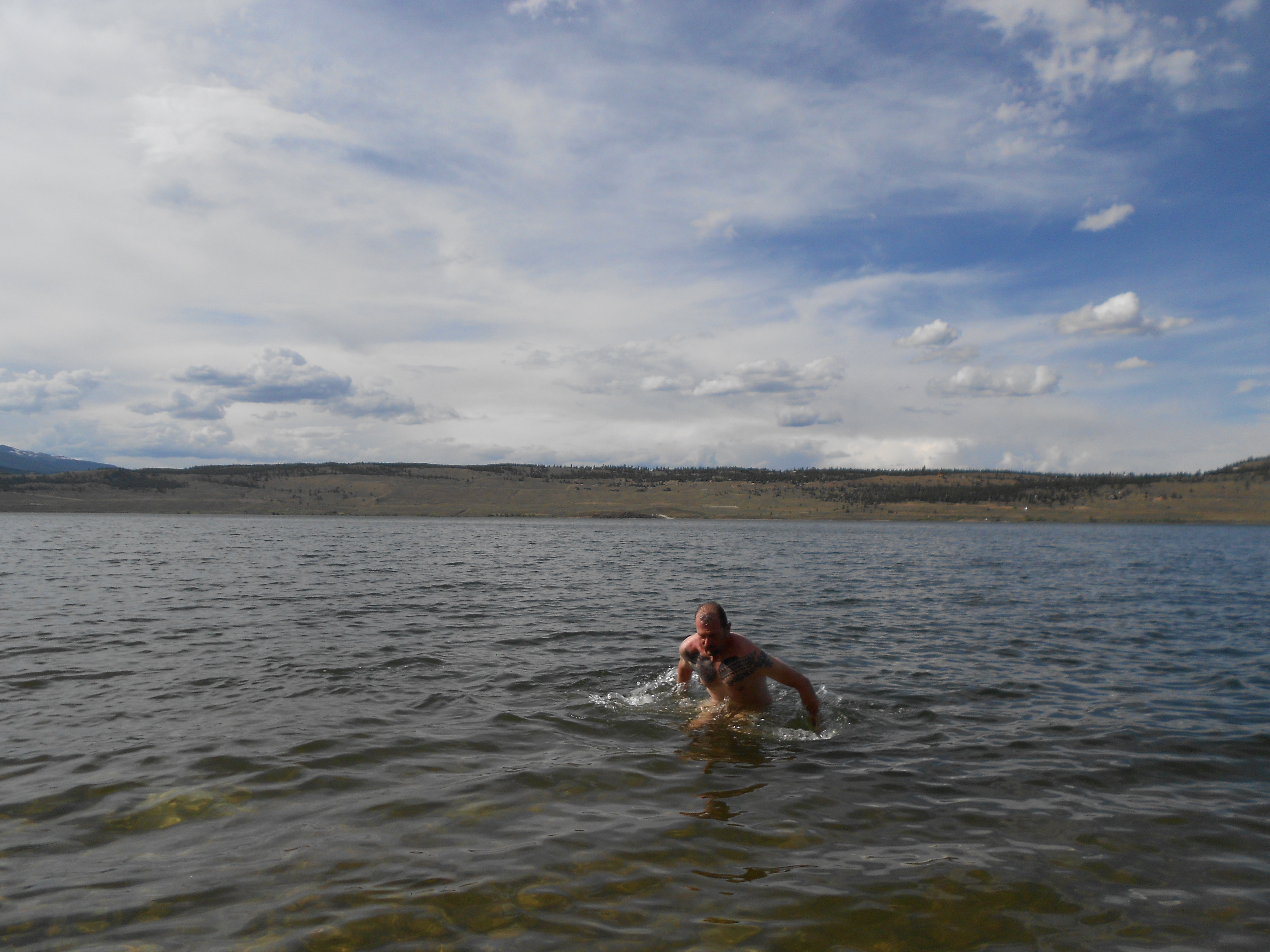
 It doesn’t surprise you when you reach the top of this side hill and see a fourth hill yet to climb. You march onward with zero confidence in your strength and stamina but knowing there’s no way you’ll pitch a tent on this hill for the night. Eventually you reach the descent and see the lake marking the end of the day’s hike. The mile long ramble down offers little reprieve however. Your legs are weak and your dismount from the tundra hills feels more like a collapse to the high altitude lake below. Your knees twitch with straining muscles and you focus on careful and slow steps so that you don’t fall. Falling is typical of nearing the end of anything. There’s plenty of daylight remaining for setting up camp so you take your time. At least it’s downhill. Once there, Tumbleweed wades into the lake for a cool down.
 This will be your last night camping out on the Colorado Trail. You’d like to make a fire but there’s no dry wood. As hungry as you were a few hours ago on the trail, you’re now nauseous and you have to force yourself to down your freeze dried meal. Those tundra hills took their toll. You sleep hard but wake in the night to various sounds. A wind howls through the mountains at some point followed by a light rain. You hear the red eye jets flying from LA to the East Coast. A jet departing LA around 11pm PDT would arrive in NY by 7:30am EDT. That puts it in the air over the San Juans around 2 in the morning mountain time. You don’t check the time tonight but have on previous nights camping – you could set your watch by this.
 You wake up ready to go. Your tent is covered in a sheet of ice but it doesn’t matter that you pack it wet since you won’t need it tonight. This is your last day on the trail. You’re almost giddy. You pack up your gear in record time and head up Kennebuc Pass. This is only a fraction of a mile into the hike and is your high point for the day at 11,700 feet. It’s downhill forever from here. There will be another rise after 7 miles but everything is under 10,000 feet by that point. Climbing hills is doable with air.
After the sun rises you can tell this is going to be another beautiful day. The rains don’t generally fall until 2 or 3, and you expect to reach the Junction Creek Trail Head, 21.5 miles away in Durango, by perhaps 3. You’re happy that you bought a new camera for this excursion to capture the fall colors. Unfortunately you drop it during a gear change today and the lens won’t open – presumably from dirt. Not critical since you can still take pics with your iPhone. Good thing you bought the accidental protection plan. All pics going forward will be 2.5 mega pixels.
 Today’s hike has been entirely in the trees ever since dropping down from Kennebuc Pass. Much of the San Juans has been on ridges at or above treeline. The first 7 miles is also completely downhill, not too steep, but gradual and constant following Junction Creek. You cross this creek several times, the final time at 7.1 miles over a wooden bridge. You rest here before beginning the next section which is your final climb – 1000 feet over 4 miles.
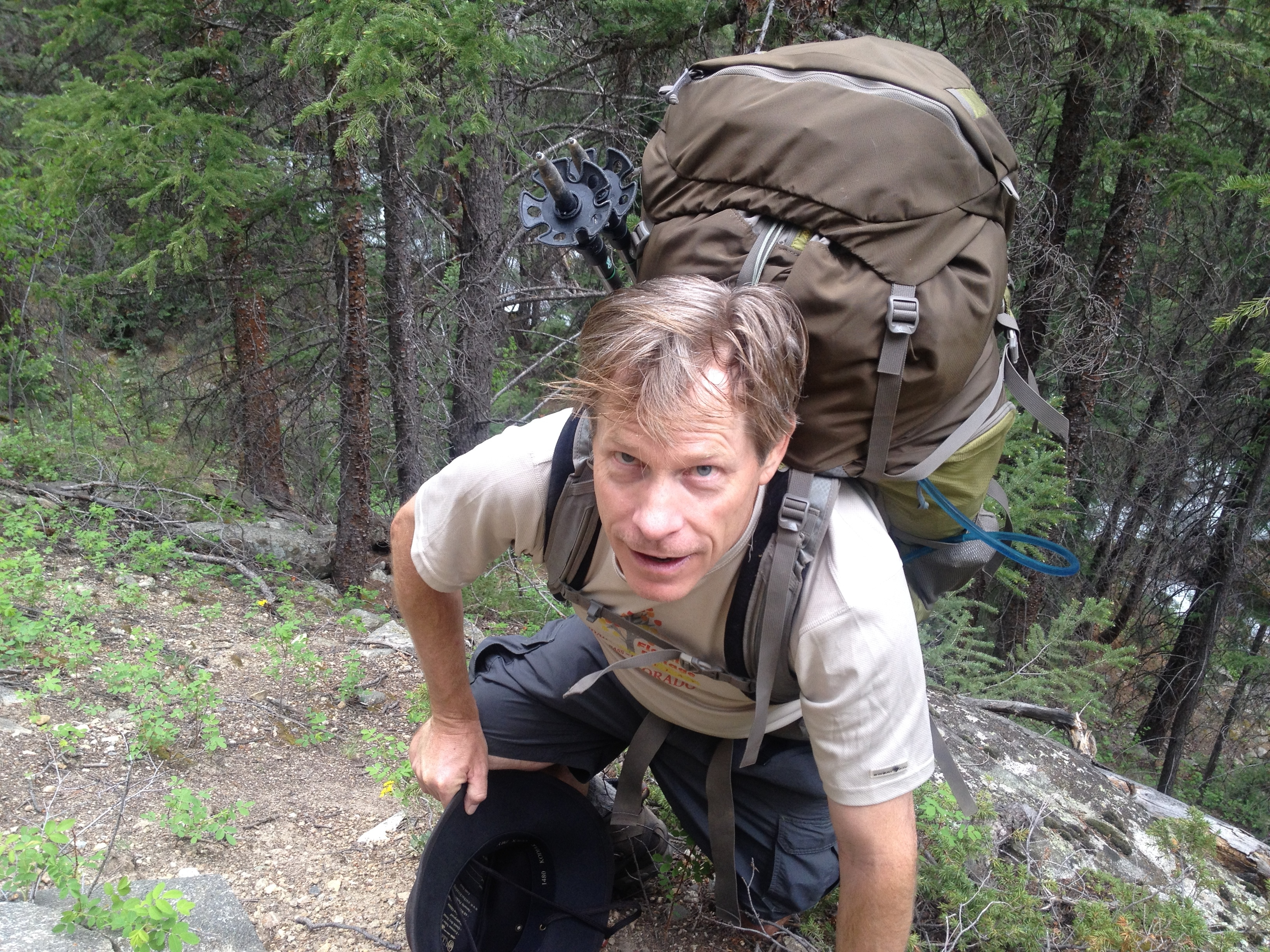
 This would not be a difficult climb as the grade is rarely steep, and your feet are loving the soft dirt through old growth aspen. But you struggle to maintain Tumbleweed’s pace. He smells the end. You fall behind and frequently sprint to catch back up. You begin to encounter mountain bikers now. Their numbers increase, along with day hikers, as you near the trail head. And they are noticeably social. Everyone in Durango loves a through-hiker, and most have their own stories to tell. You try to be polite but you both can taste the finish. You’ve been fantasizing most of the day about a half pound cheese burger. As rare as they’ll cook it. These chatty bikers and hikers are between you and a fantasy burger and you find yourself cutting conversations short to plow on.
 The hike doesn’t go quick necessarily. Despite the excitement and strong pace, 21 miles is 21 miles. But suddenly the trail widens into the trail head parking lot where Tumbleweed has his car parked. Wow. Really? You unceremoniously dump the 40 pound back pack onto the ground next to the car. You won’t miss it. You give Tumbleweed a strong hug and walk around the gravel parking lot to cool down and recover your thoughts. You completed nearly 500 miles of Colorado with a view from the top. You gained years of hiking experience over the last 6 months. You had a few moments of pending injury but were never hurt. You nearly wrecked your car in a spring snow. Post-holing over Georgia Pass was exhausting. But you’d argue the most vulnerable you’ve been on this trail is when dropping your ass into the dark unknown during morning rituals. You’ll have to read back through your blog to remember all the moments. You plan to publish a photo book for Tumbleweed for Christmas.
 Your burger fantasy hasn’t diminished and after a picture by Mike, a biker you met earlier on the trail, you drive into town looking for the Steamworks Brewery based on a recommendation suggested by another biker. The burger menu doesn’t offer any configuration of interest to you, but you’re able to custom order a regular half pounder. Your friendly waitress with an interesting tatoo, Cassie, ensures you that they’ll cook it how you want it. Tumbleweed orders a steak sandwich. You begin with nachos and a pitcher of their award winning Steam Engine Lager. When Cassie serves the burger, you know it’s going to be good simply from the aroma, and it is. Seared but rare. It’s everything you dreamed of and you award Steamworks a puerco pibil. You can’t order avocado here to go with it, but have to instead settle on gaucamole. This is because they buy it from another local outfit. It’s good enough but has that artifical acerbic acid, tinny taste apparently to preserve it. You find this unnecessary in Colorado as it takes just a drop of lime juice to keep guac green all day. Still, this is a great burger joint.
You sleep overnight at the house of some good friends of Tumbleweed – Darren and Tonya. They’re fantastic hosts. They feed you again and provide great conversation. They have even another guest spending the night, Steve who is an artist up fishing from Texas. You rise the next morning as early as if you were on the trail for the 8 hour drive back to reality. Everyone is already asking you what’s the next great adventure. You’re simply looking forward to hanging around the house and watching college football.
40.137598
-105.107652

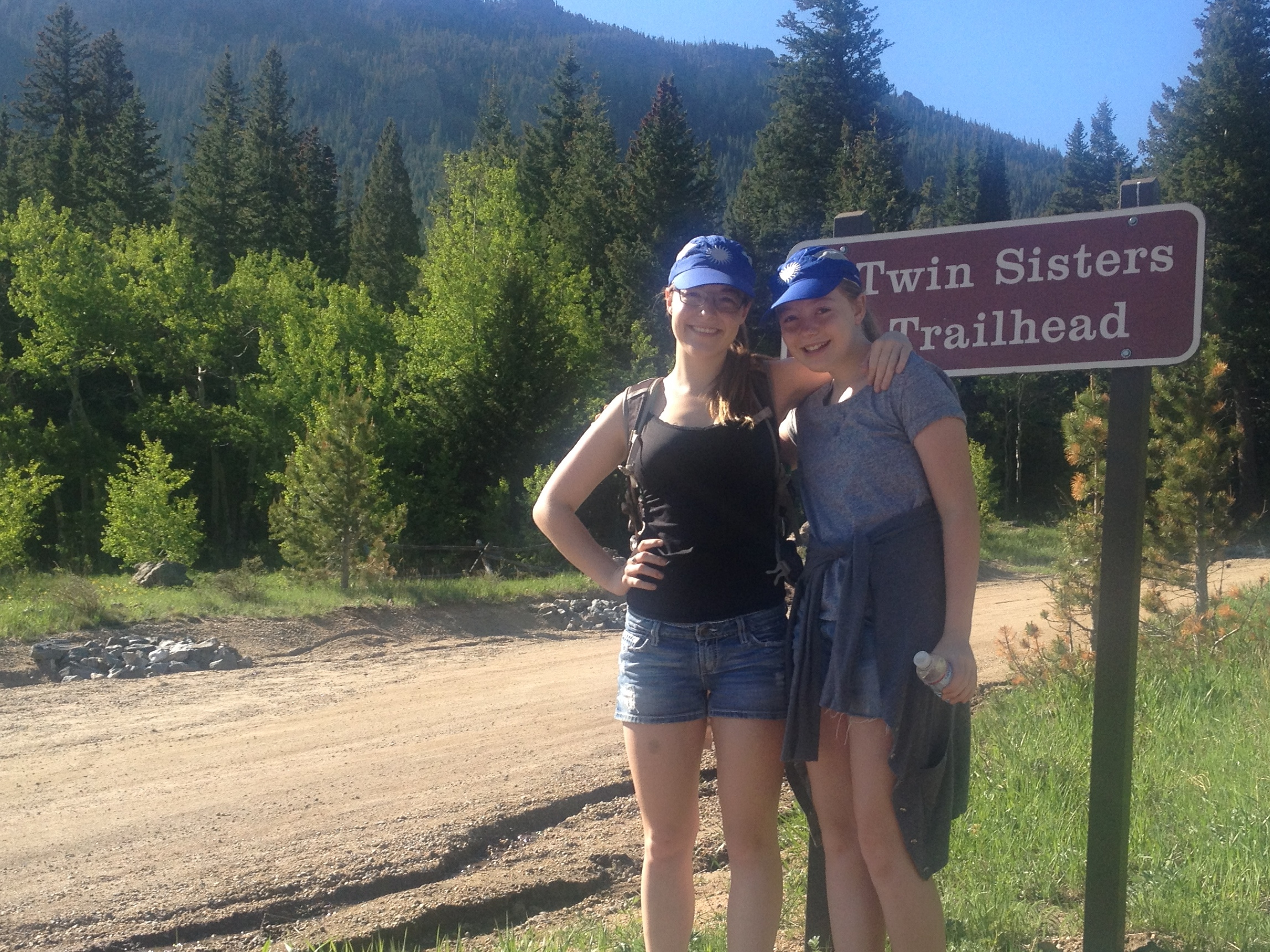
 I wake up the girls at 6:30am this morning because they want me to. We’re headed up to the Wild Basin area in Rocky Mountain National Park for a massive hike to Sandbeach Lake. Surprisingly, we’re out the door shortly after 7am. We stop by Big Daddy’s Bagels for something to start our engines before leaving the neighborhood and reach the trailhead by 8am.
 The girls climb the first big rock they see. Brit’s been doing this ever since she saw Lion King as a three year old. Ellie can’t pass up a good rock either. She might wish she had because moments after this shot she slipped and slid down, scraping her leg. She toughs it out though and doesn’t cry. She toughs out a lot today because not only is our target lake 4.5 miles away from the trailhead, the entire trail is uphill. Rarely is it overly steep, but uphill at altitude is never easy.
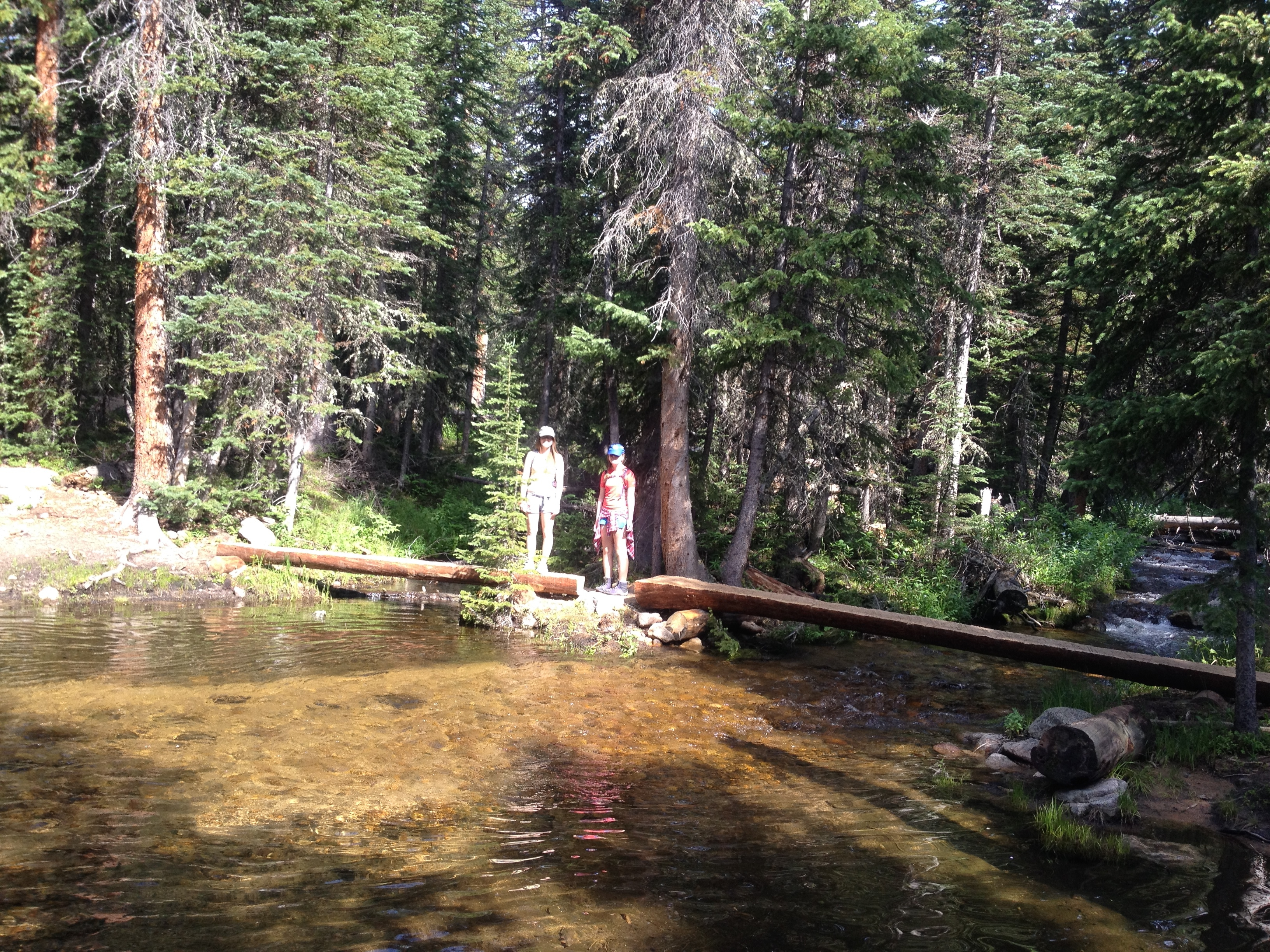 The entire hike is in the trees with only a few spots for views of the valley or Continental Divide. This is probably a good thing as the temperature soars well above 90° today. We take advantage of several creek crossings to cool off. Ellie is emboldened by her water-proof hiking boots and wades into deeper water than us to cool off. Brit and I can’t believe her feet remain dry. She pushes the boundaries often drowning her bootlaces. My RMNP trail guidebook suggests there are some downhill segments, but no down slopes ever present themselves for more than 20 yards in length. This is a long, hot, uphill slog.
 The lake was dammed around 1900 to provide drinking water for our town – Longmont. The dam was dismantled in the ’80s and returned to its natural state, once again displaying the sandy beach for which it is named. I don’t know that I’ve ever seen a sandy beach on a high-altitude mountain lake before. Sandbeach Lake offers stunning views of close-by peaks to the north and the Continental Divide to the west. You can almost watch water run off the moraine on the northern peaks to a waterfall flowing into the lake. The sound of flowing water is peaceful; this beach no doubt makes for a great camp site.
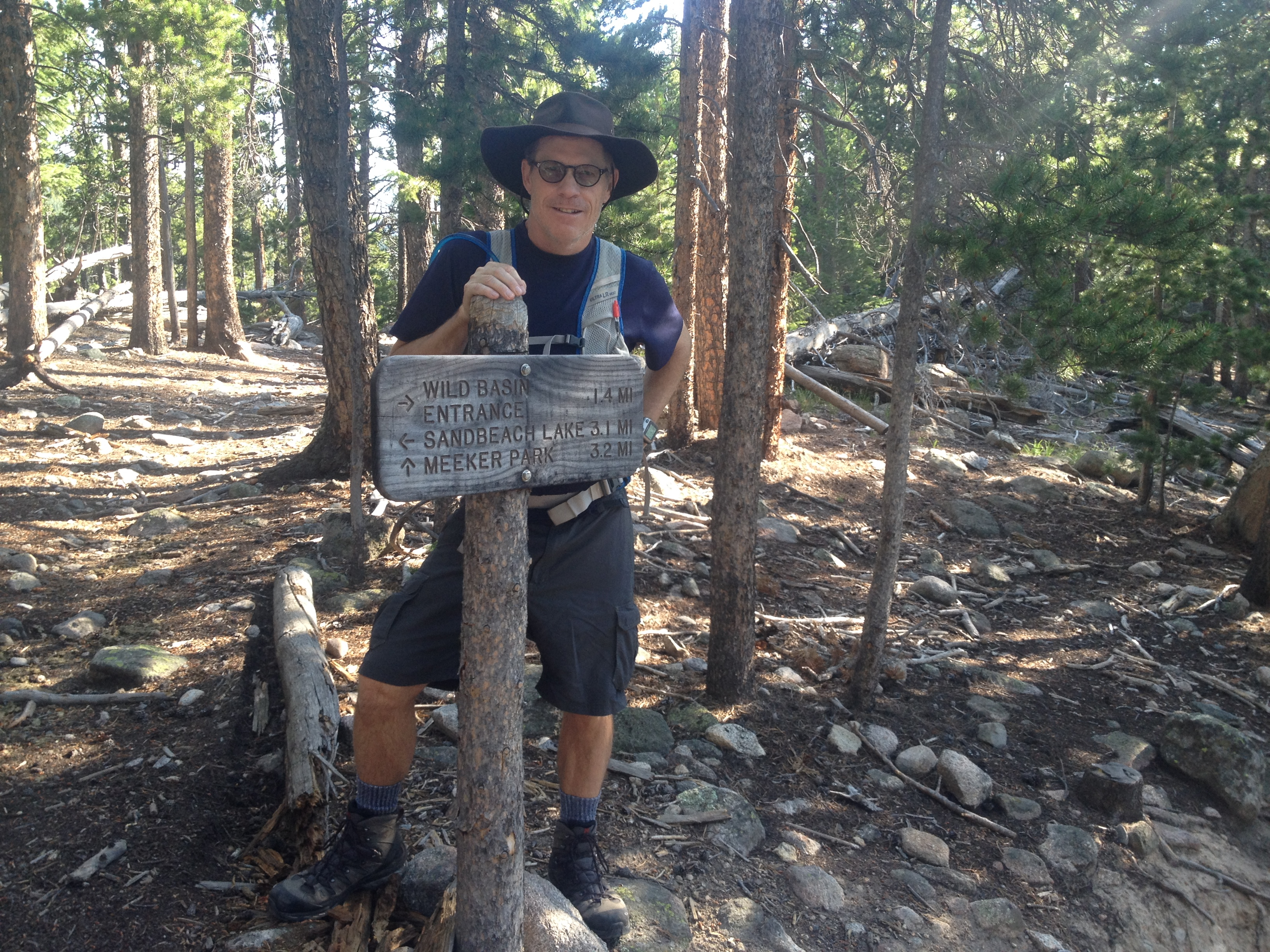 This is only one trail of many in the Wild Basin area of RMNP. The trails sit south of Mount Meeker, many leading to lakes and waterfalls. Our plans are to return each weekend that we can this summer to explore the other trails. The trailheads are less than an hour from our front door, just north of Allenspark, CO. We stopped in that little mountain haven on our return for a cold beverage. We later lunched at Lyons Fork in Lyons. Nice Sunday.
![DCIM41[N3862354W10635535T40D992EAH0DBB84]](https://arunnersstory.com/wp-content/uploads/2014/07/view.jpg)


