Tags
CDT, Continental Divide Trail, magic mushrooms, Moose Watch Cafe, Rabbit Ears Pass, Steamboat Springs
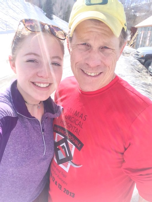
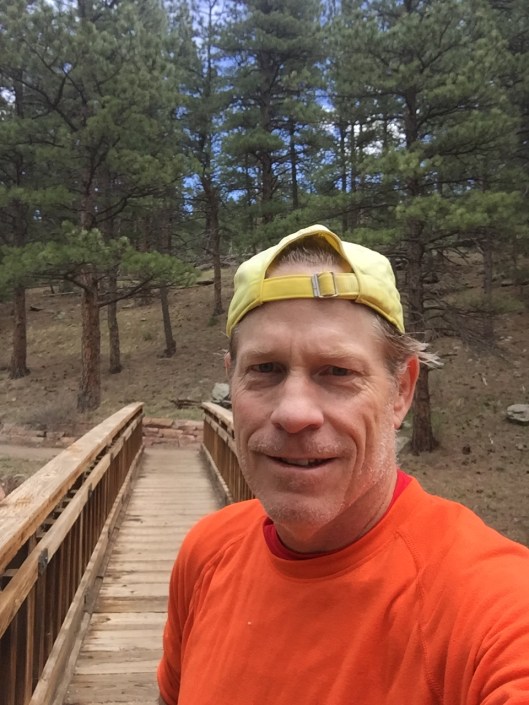
 I continued my hiking with Rob on the Continental Divide Trail (CDT) near Steamboat Springs this past weekend. We’ve been hiking northbound generally but the most efficient car shuffle for this outing suggested a southbound route. We hiked two sections southbound, first 15 miles from Buffalo Pass to Rabbit Ears Pass on Saturday, then 24 miles from the Three Island Lake Trailhead to Buffalo Pass on Sunday. For Rob, this leaves the section of trail between Grand Lake and Rabbit Ears, and the 50 miles of trail south of Wyoming, for him to complete all the CDT within Colorado. He also he completed the northern half of New Mexico.

Saturday’s adventure began at the Moose Watch Cafe for a breakfast burrito and a few donuts. I ate one of these maple bacon delights, along with something cream filled.

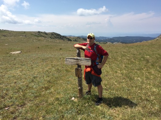
It might be hard to read this sign but it says the Wyoming Trail. Whenever we were in doubt, and the CDT is nothing if not poorly marked, we followed signs for the Wyoming Trail. Apparently the section of CDT between Rabbit Ears Pass and Wyoming, is also known as the Wyoming Trail.
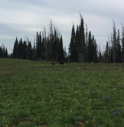
Early in our hike, as we stopped to adjust our gear, this cow and her calf sprinted up behind us. They stopped and acted a bit startled after spotting us, before continuing their trot deep into the woods. Moose are really just super large deer. They’re somewhat spectacular to see up close in the wild.

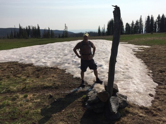
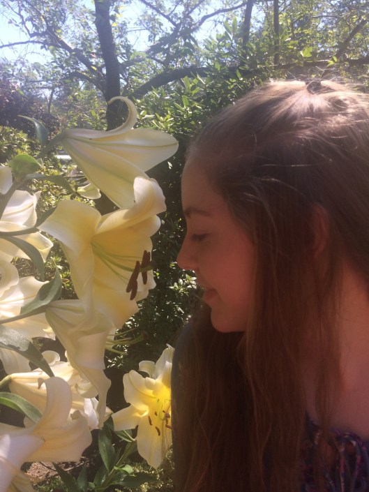
This section of trail consisted mostly of alpine meadows and lakes. Everything, even the tundra above tree line on day two, was lush and green, like these high mountain daisies I’m standing in here.

I’m not totally certain what these flowers are. My best guess is Parry Primrose. Could be fireweed.

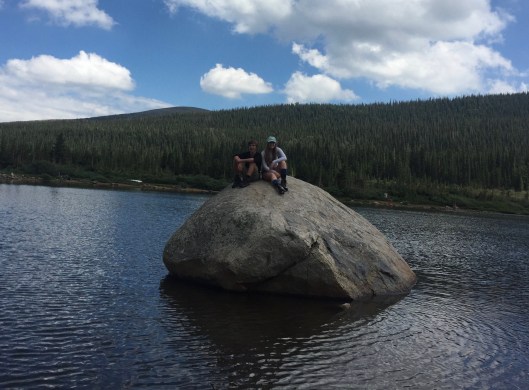
Saturday’s hike ended at Rabbit Ears Pass, just south of Steamboat Springs. We saw a decent number of other hikers, and even more mountain bikers. Even a few fishermen headed up to those alpine lakes.

To heal our sore muscles after the 15 mile trek, we dined in Steamboat and quaffed a few of the local Butcherknife Amputator IPAs.
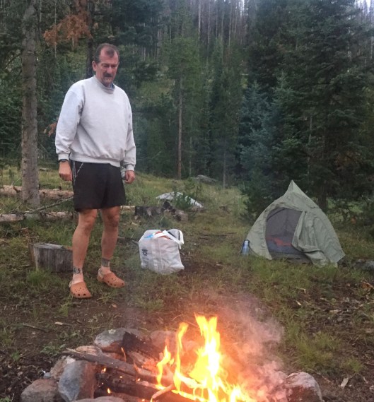
Despite the very wet ground, we got ourselves a camp fire for the night.
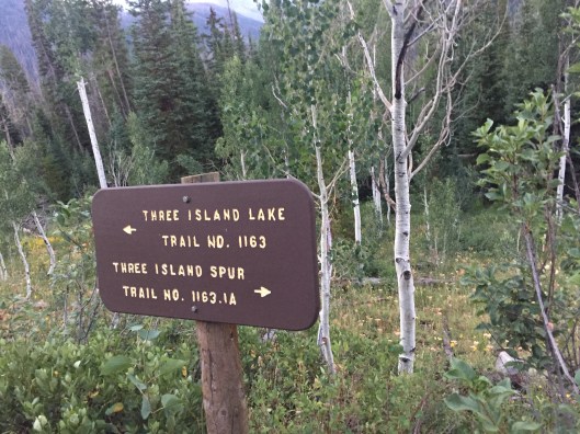
We started out the next day at the Three Island Lake Trailhead, 50 miles south of the Wyoming border. Sunday’s hike was mostly above treeline, but the ground was still more soggy marsh.
The melt off these snow fields accounted for some of the sogginess, constant afternoon rains for the rest.

The photo above captures what much of the top of the CDT looks like, fields of alpine flora with very little signs of an actual trail. You just walk between the drop offs.

Other times, you look for the next cairn to guide the path, when the trail is under near permanent slow fields, or like below when there’s not enough foot traffic to carve out a path through the fast-growing grass.
This sign points to a spur trail, Grag’s Trail, that runs behind me. You can’t make out a discernible trail in the grass, but you can spot the cairn over my shoulder pointing the way. Our trail in this photo, is the Wyoming trail running horizontal, also without any visible path.
There were so many photo perfect moments on the trail but for the most part, I simply experienced them without taking pictures. Like when the team of elite mountain pixies came running past us. Spaced over a 20 second spread, four unbelievably attractive runners ran by us at maybe a 7 minute pace. Clearly under 8 minutes per mile. At extreme altitude. While they were wearing different racing outfits, you could see they were a team by how uniformly they maintained form, like a peloton in bike racing.
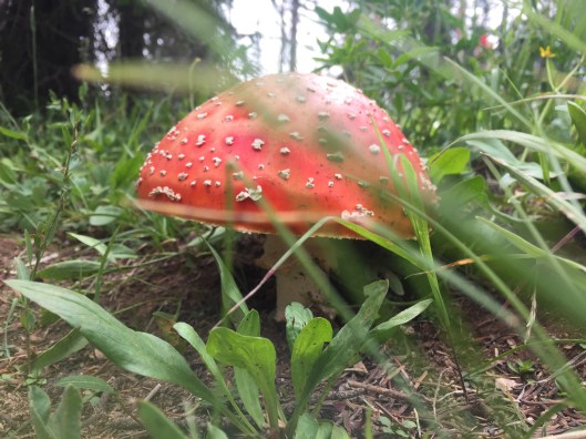
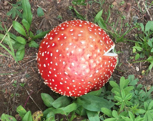
Either Rob and I really were passed by a quad of beautiful elite trail racers, or we took a bite out of this hallucinogenic Fly Agaric mushroom growing alongside the trail and imagined it. After 8 hours, we completed Sunday’s 24 mile trek, this time entering Buffalo Pass from the north, satiated for that moment, hungry now for the next opportunity.


 With Zach up from Austin, we thought he’d like to see what Colorado looks like, from the top. So we hiked up 13,223 foot
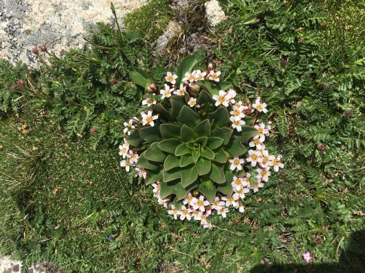


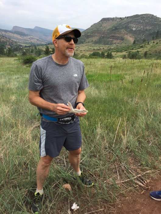 Trails will kill you if you’re not careful. In this photo, biologist Bob examines the skeletal remains of a deer that we ran by just short of two miles on the Picture Rock Trail this morning. Keith, Joey and I didn’t wait around for the lecture to finish before we screamed up the mountain at a strong pace, that is until Joey stumbled over a rock near four miles and landed hard. We took the final mile up a bit more conservative. I should mention that Joey is only in Middle School. Don’t think I ran more than three miles until my sophomore year of high school.


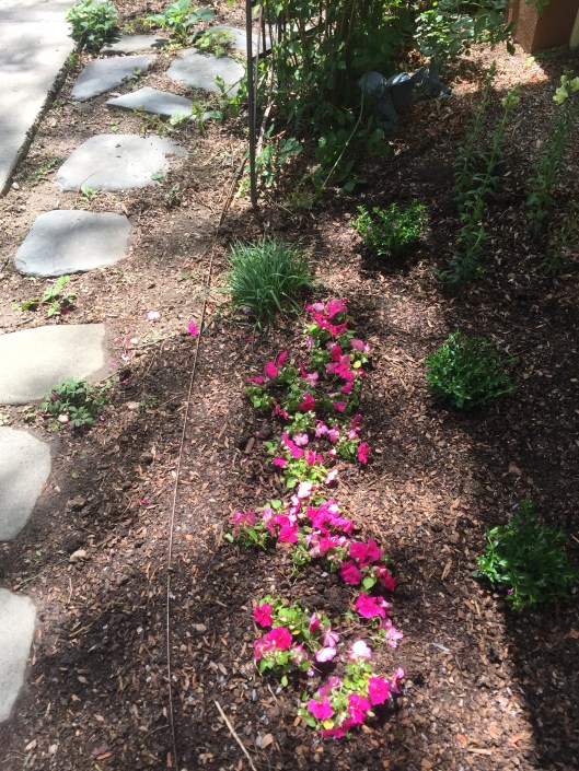 My strategic delay in planting this year looks brilliant given last week’s heavy spring snowfall. The wine I drank this weekend was in celebration of my gorgeous tomatoes, peppers, cabbage, kale, spinach, leeks, lettuces, chard, strawberries, melon, and a mix of florals to bring the bees; not the pity party so many of my fellow growers wallowed in as they assessed the damage to their crops. Sorry guys but second mouse gets the cheese.


 What did I do on my one day off, the start to my three day weekend, in between jobs? Seriously? You have to ask? I went on a trail run. Six miles up and down the
  Momentos from twenty-three years at IBM sit on my bookshelf. Maybe more are hiding in my desk drawers. I might have lifted my stapler from the office. My history with IBM began when I drove a forklift working on their packaging line the summer of 1981, as part of the production of word processors manufactured in their Austin, Texas facility. I later worked as a computer operator as an intern in 1990 while obtaining my masters from CU in Boulder. I then started my 23 year run in 1994 with their wholly-owned subsidiary ISSC. I forget what that stands for now.