

This gem of a state park is just a few miles east of Castle Rock. Possibly the skinniest state park in Colorado, it runs a few miles along Cherry Creek as it flows through the canyon. That’s Pike’s Peak over Todd’s head.

A few steps past the trail head, we spotted a deer. Or it spotted us.
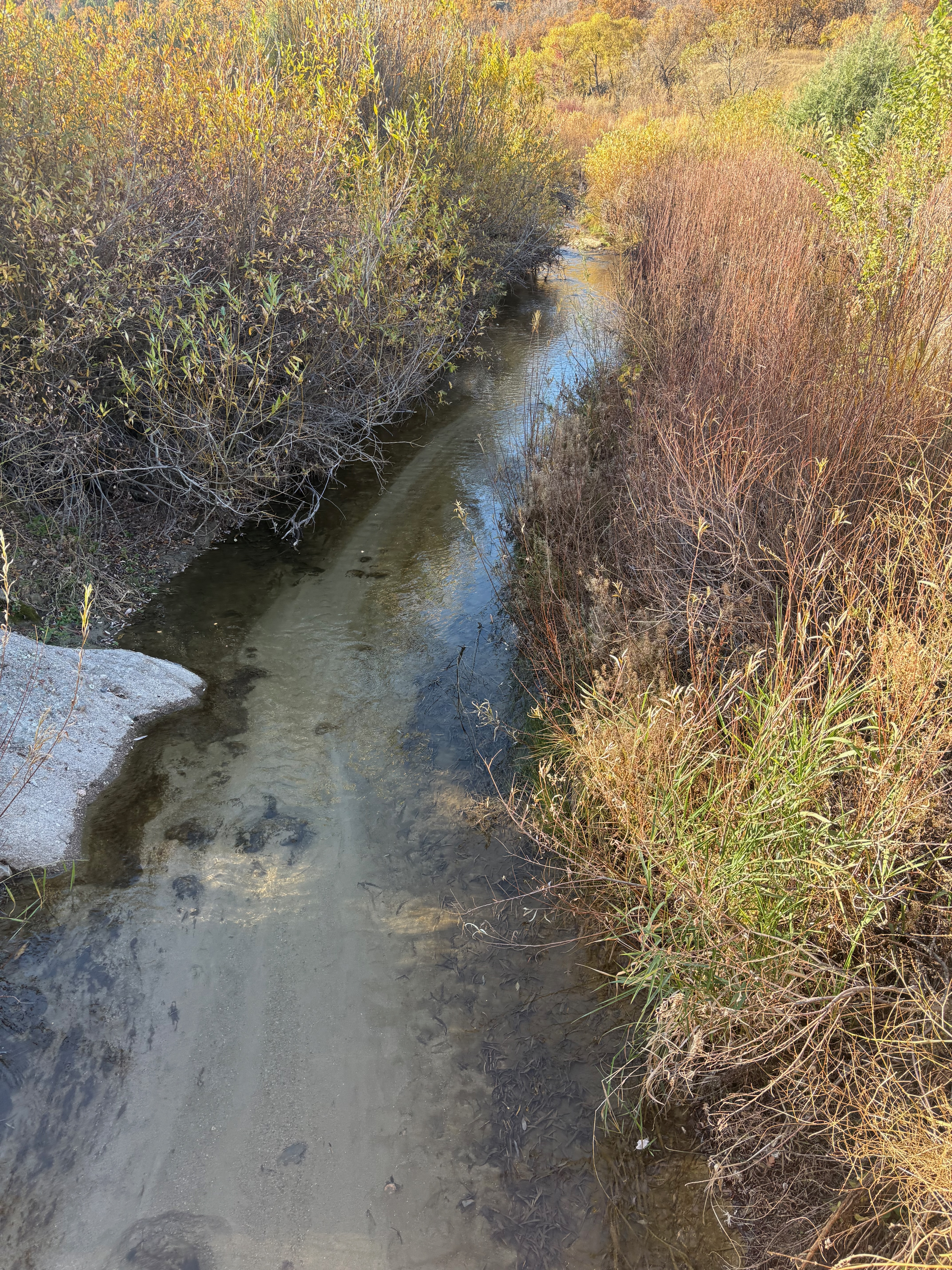
Springs, groundwater seepage, and snow/rain runoff, from Monument Hill, formed the canyon tens of millions of years ago. Cherry Creek looks like a river as it flows through downtown Denver, here it’s a stream.
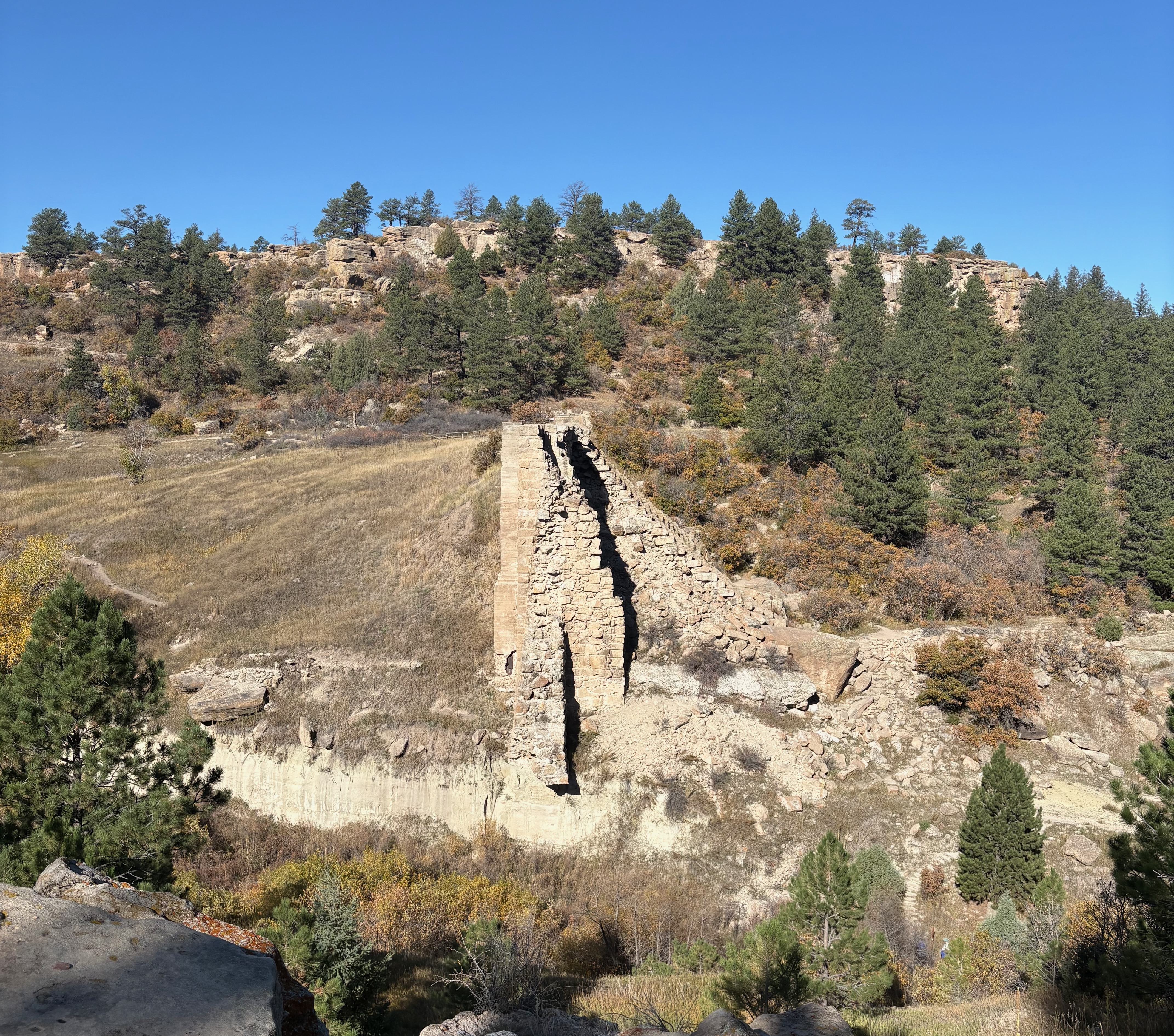
Arapaho and Cheyenne once lived on the plains in the Cherry Creek water basin. Settlers built a dam for irrigation in 1890. In 1933, a flood destroyed it, submerging downtown Denver for days and leaving these remnants.

You have to see this tree for real, the photo doesn’t do it justice. It’s been twisted like a cork screw by nature around and around and around.

I saw this sign after stumbling on the trail.

After three hours of vigorous hiking on a beautiful fall day, we rehydrated at the Wild Blue Yonder brewpub. Their wings are amazing, and I’m a wing expert. The German IPA was also very tasty. I’m sure there is more than one IPA in Germany, but here they just have one so they call it the German IPA.
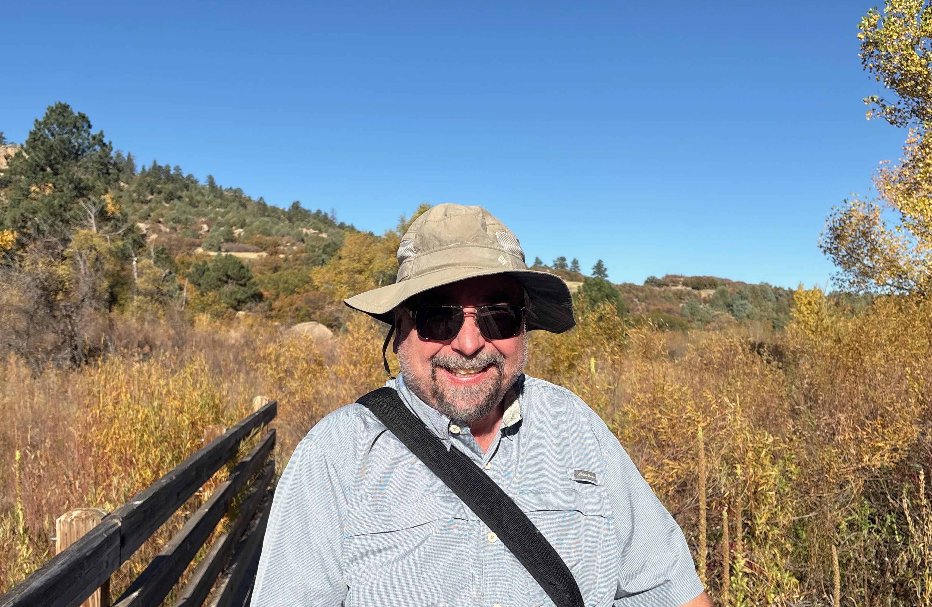
Thanks for the hike and showing me a new trail, Todd.

Looks like a gre
LikeLike