
 The normally 90 minute drive to Colorado Springs Friday evening was unbelievable. Four hours of stop and go slow. I had to pull over south of Castle Rock to let Karen drive so I could draft my fantasy football team via my iPhone. Lost the connection several times at the end but those were just bench players. I struggled finding the Cheyenne Mountain Resort at night. Might be its proximity to the U.S. Space Command but there is very little in the way of street lights in the Cheyenne Mountain vicinity. This Labor Day weekend is ostensibly so Karen can complete an all-day, advanced Zumba training class. And to celebrate her birthday. Between you and me, this is really so I could check off a bucket list trail run – the Manitou Incline.
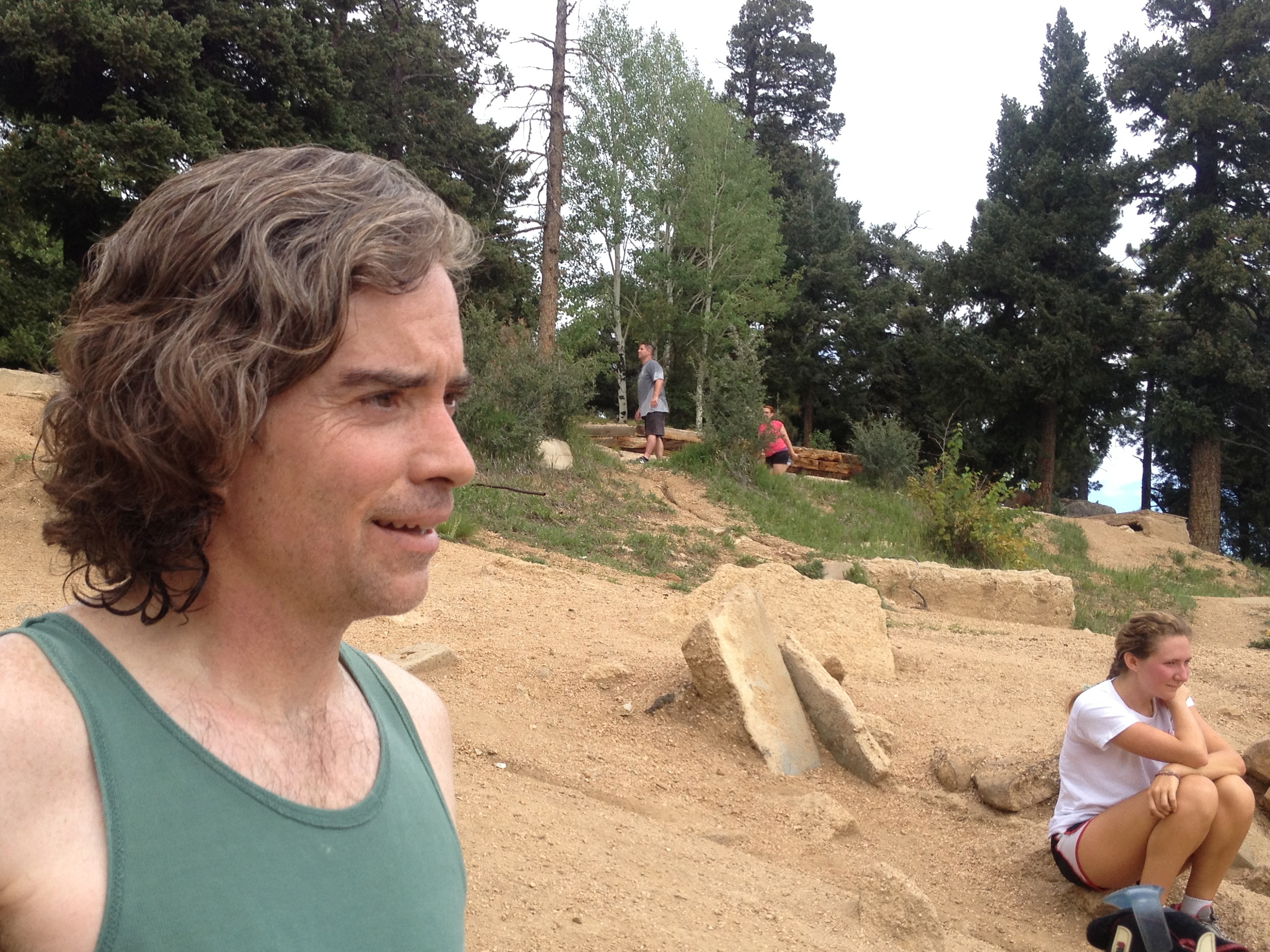
 After dropping Karen off at her class Saturday morning, I met up with my buddy Ken Farmer in Manitou Springs. Ken oftentimes runs this mile long incline for lunch as he lives down the street from the trail head. He figures he’s run it over 400 times in the twenty years he has lived here. He’s run Barr Trail a few thousand times – which is how we came back down. Since they legalized the ascent, they made a rule against descending the Incline. People still do but it looks pretty dangerous to me. You fall on a spike of rebar and you’re dead.
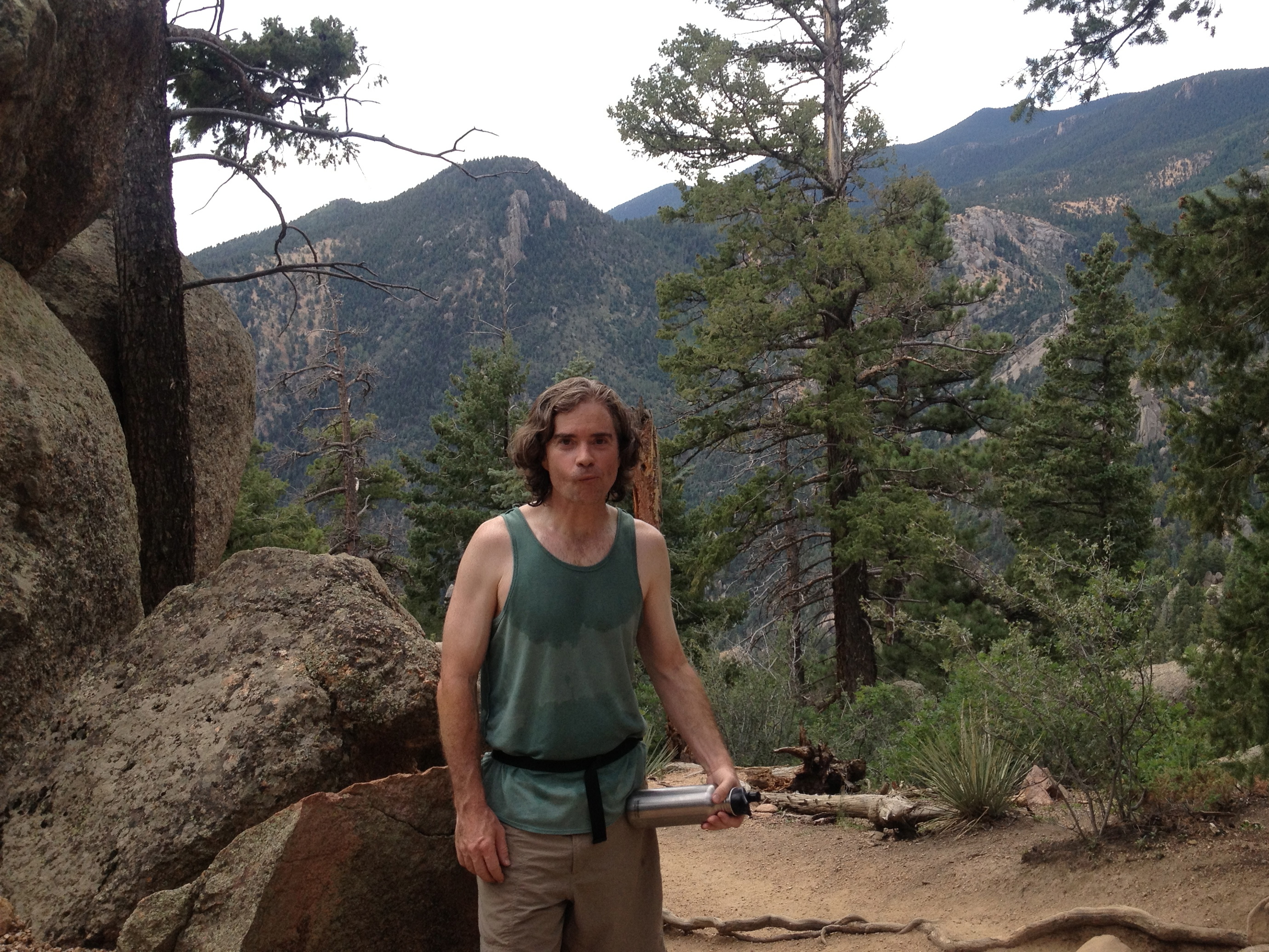
This pic is of Ken at the false summit, maybe two thirds of the way up. You get a sense of how the bottom is more flat and then it turns steep. What you can’t see is that many of the steps are knee high. The grade is nearly 40%. Actually, you can see it in this video. I felt like I was keeping a strong pace – I made the summit in 42 minutes. Ken was a graceful host and let me take the last few steps ahead of him.
 Surprisingly, the summit was less crowded than the trail itself. I suspect it wouldn’t be for long, a never-ending stream of hikers were worming their way up the Incline. We got lucky on the weather with the cloud cover. We had two choices for the decline. Three if you consider we could return down the way we came. The other two routes link up with the Barr Trail. That’s the trail that hikes up to Pikes Peak. One route continues straight to the back of the summit. Ken wasn’t sure of the distance but thought it might be about 4 miles down. The other hooks around to the left – stage right – and is likely under 2 miles. I didn’t wear my Garmin – wish I did.
 Ken is standing here near the start to the short descent which we took. The trail, until it connects with Barr, is essentially gullies and is a bit slick. My brand new Solomon trail shoes gripped the ground with confidence. We talked shop on the way down. Ken recently left IBM for MapQuest; he’s a data architect in a world of big data. We discussed the technical merits of Hadoop with MapReduce versus IBM DB2. Both can provide massive parallelism but DB2 is also relational. An open source, Hadoop alternative to DB2 would be Cloudera Impala. If you find such conversation as engaging as we did, checkout Ken’s blog, Living with Data.
We were still talking tech when we reached the Barr Trailhead. It’s paved now and has pay parking. We connected with the Incline Trailhead via a 100 meter trail. From there we walked back to Ken’s house. I returned to the hotel for a shower and lunch. Ellie and I spent the rest of the afternoon at the Cheyenne Mountain Zoo.
